About Us

Our Team

Founded from: AMC GEOZONE MES SRL & BUZ GEOPRIME CAD SRL
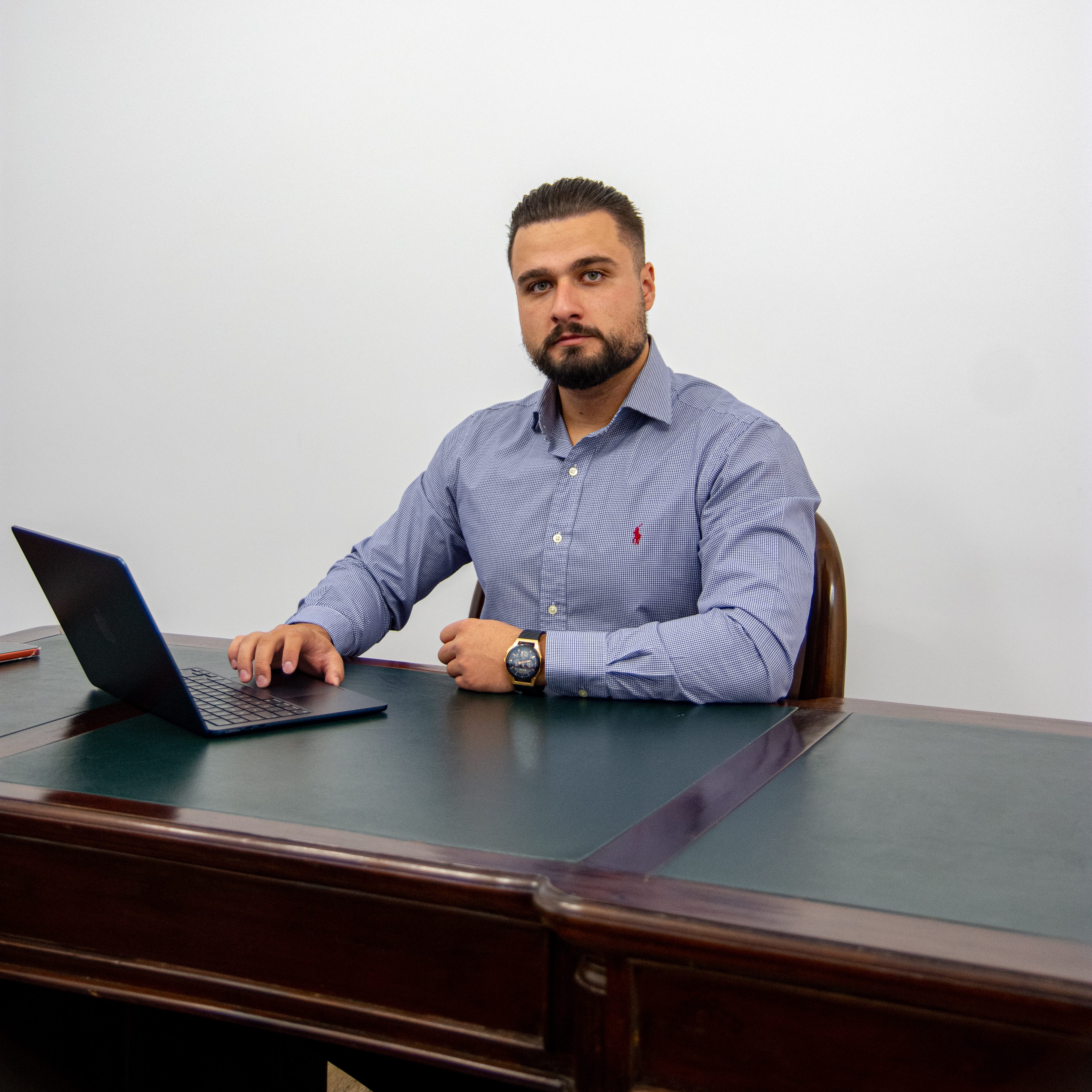
Ing. Mocanu Alin
Catalin

Co-founder

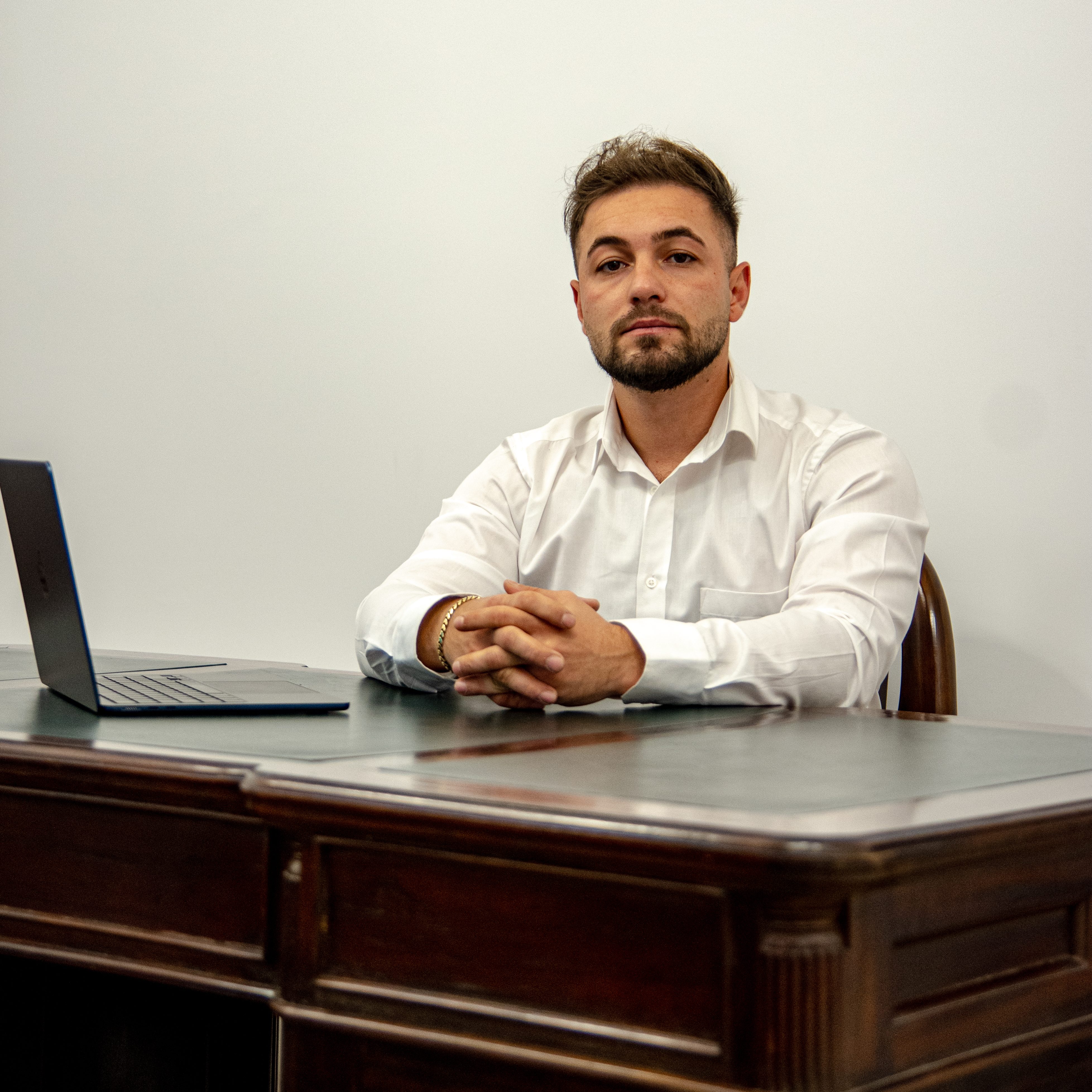
Ing. Buzenche Andrei Cosmin

Co-founder

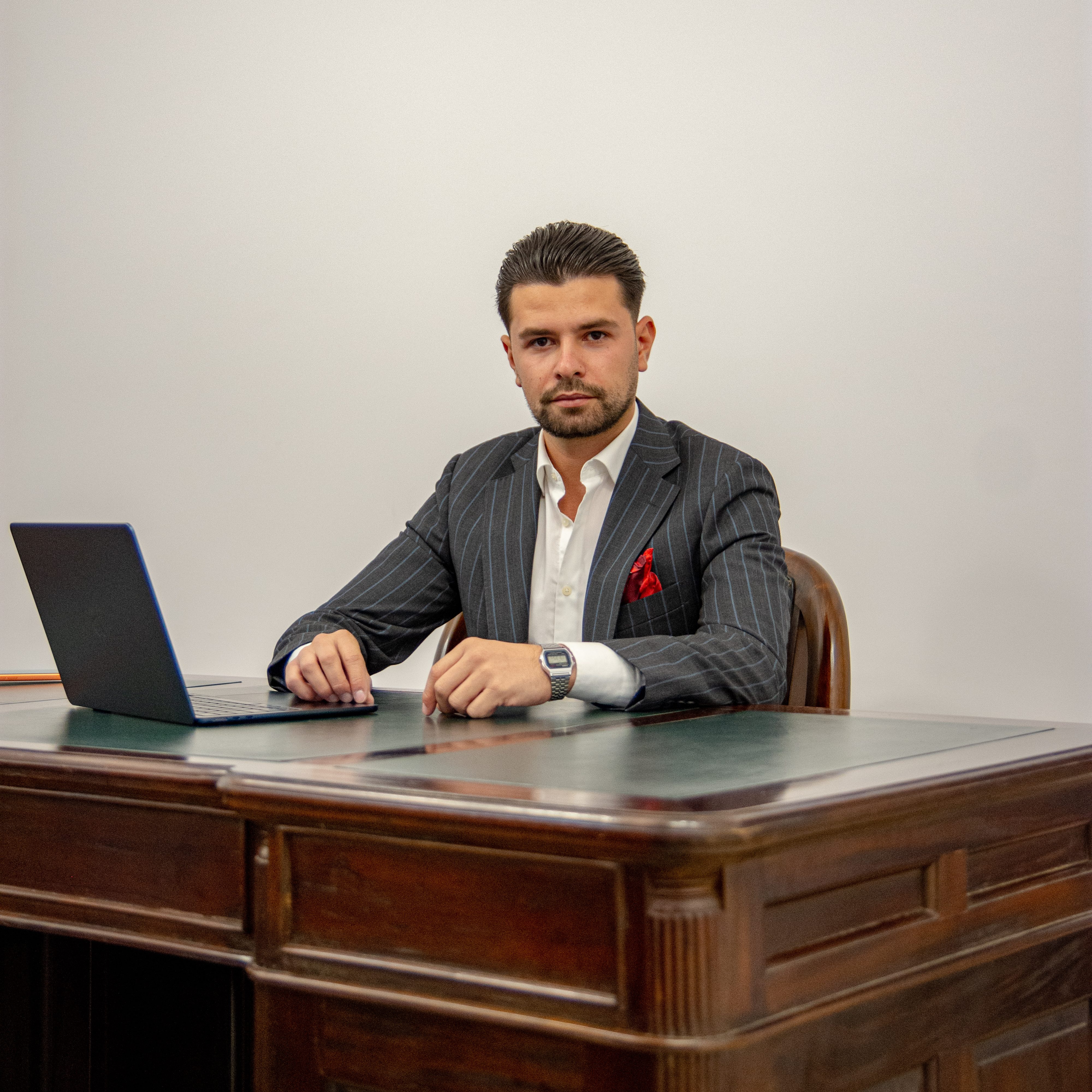
Ing. Andrei Albert Valentin

Eng. Topography Coordinator

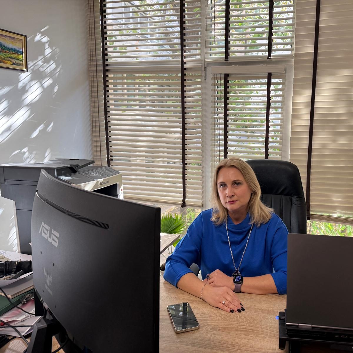
Ing Mocanu Magdalena Mariana

Ing. Cadastre Coordinator

Our Projects

Building trust, meter by meter.

We are a company specialized in surveying and cadastral services founded in: AMC GEOZONE MES SRL – CUI: 40794784, Nr. Enmatriculare: J09/275/2019, Braila, Calea Calarasilor 230 Bl. A10 Sc. 1 Et. 5 Ap. 23 Cod 810468 and BUZ GEOPRIME CAD SRL – CUI: 46249663, Nr. Registration No.: J2022000929178, jud. Galati, Sat Matca, Str. Stefan Cel Mare 501 CAM. 1 Cod 807185, dedicated to technical excellence and oriented towards concrete results. We were formed around a simple vision: every project needs a solid foundation, based on precise measurements, accurate data and a team you can trust.

Over the years, we have been involved in the development of projects of strategic importance for Romania – highways, railways, building networks, military bases, residential neighborhoods and urban areas undergoing transformation.

We use state-of-the-art equipment and modern working methods, but what really defines us is the seriousness with which we treat every client and every site.

For us, surveying is not just a job, but a long-term commitment to quality, rigor and sustainable development

Ready for a bug-free project?

Contact us now and let’s talk about how we can support your project with highly accurate surveying and cadastral services.

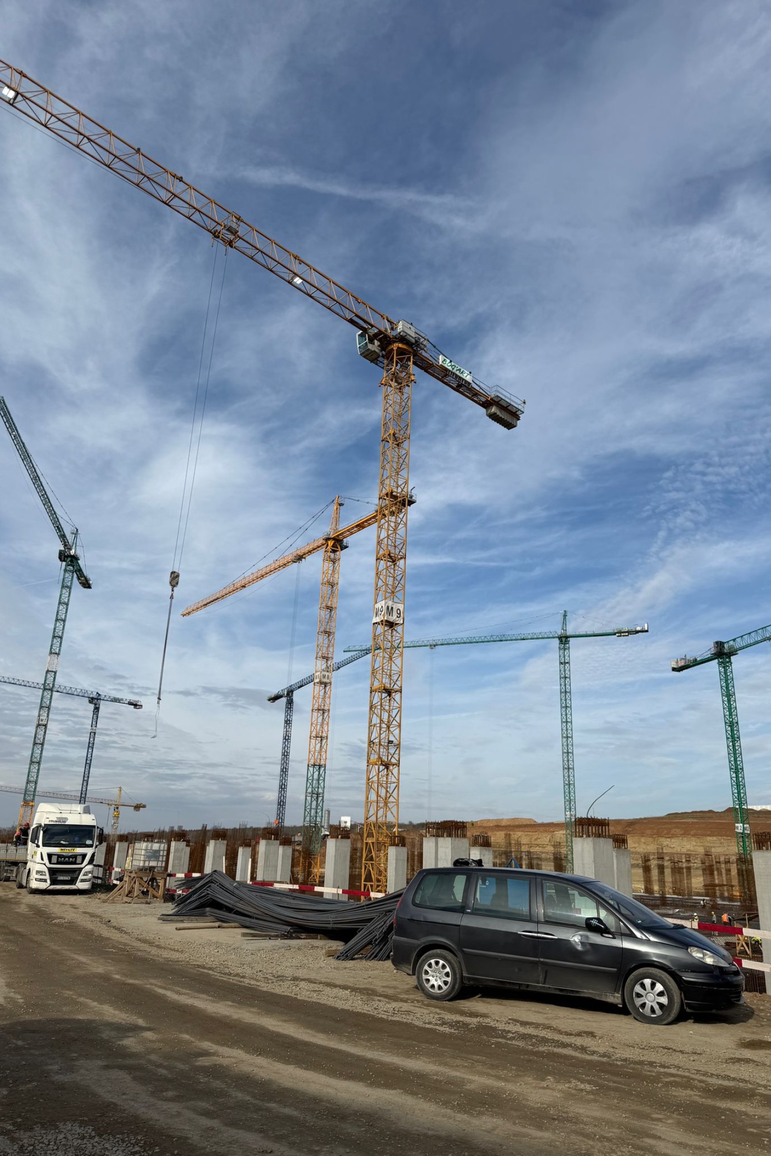
Complete solutions for any project.

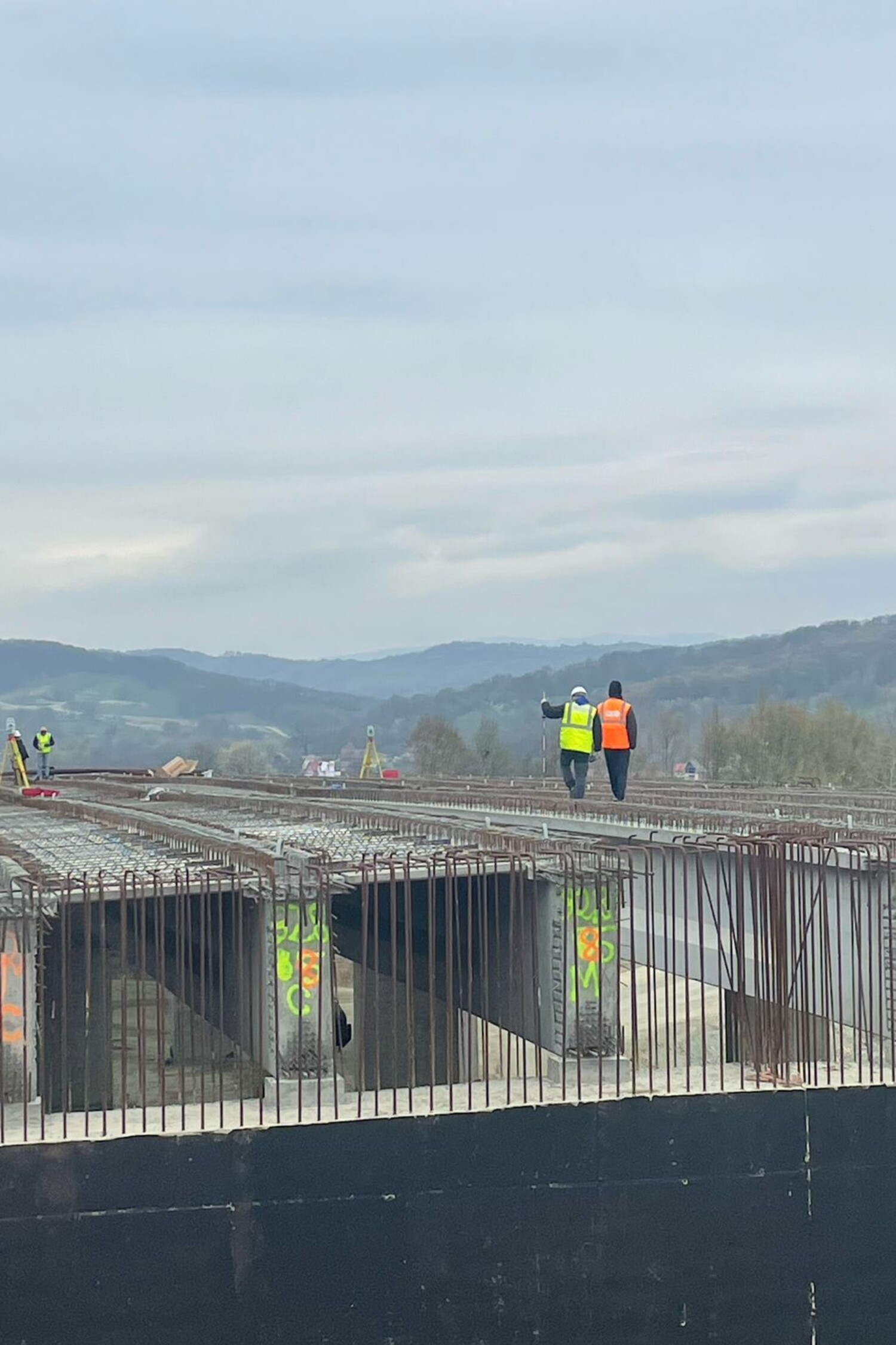
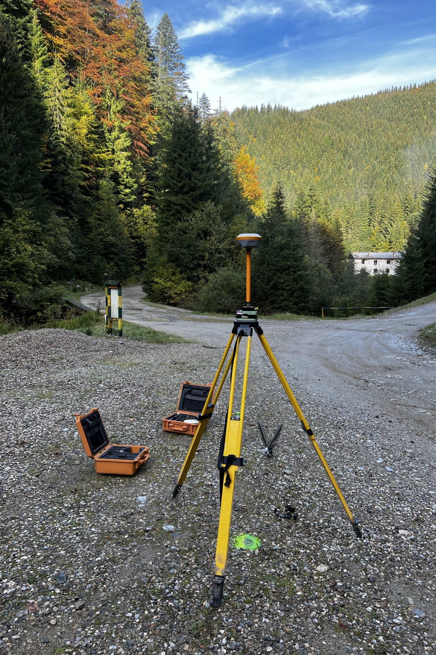
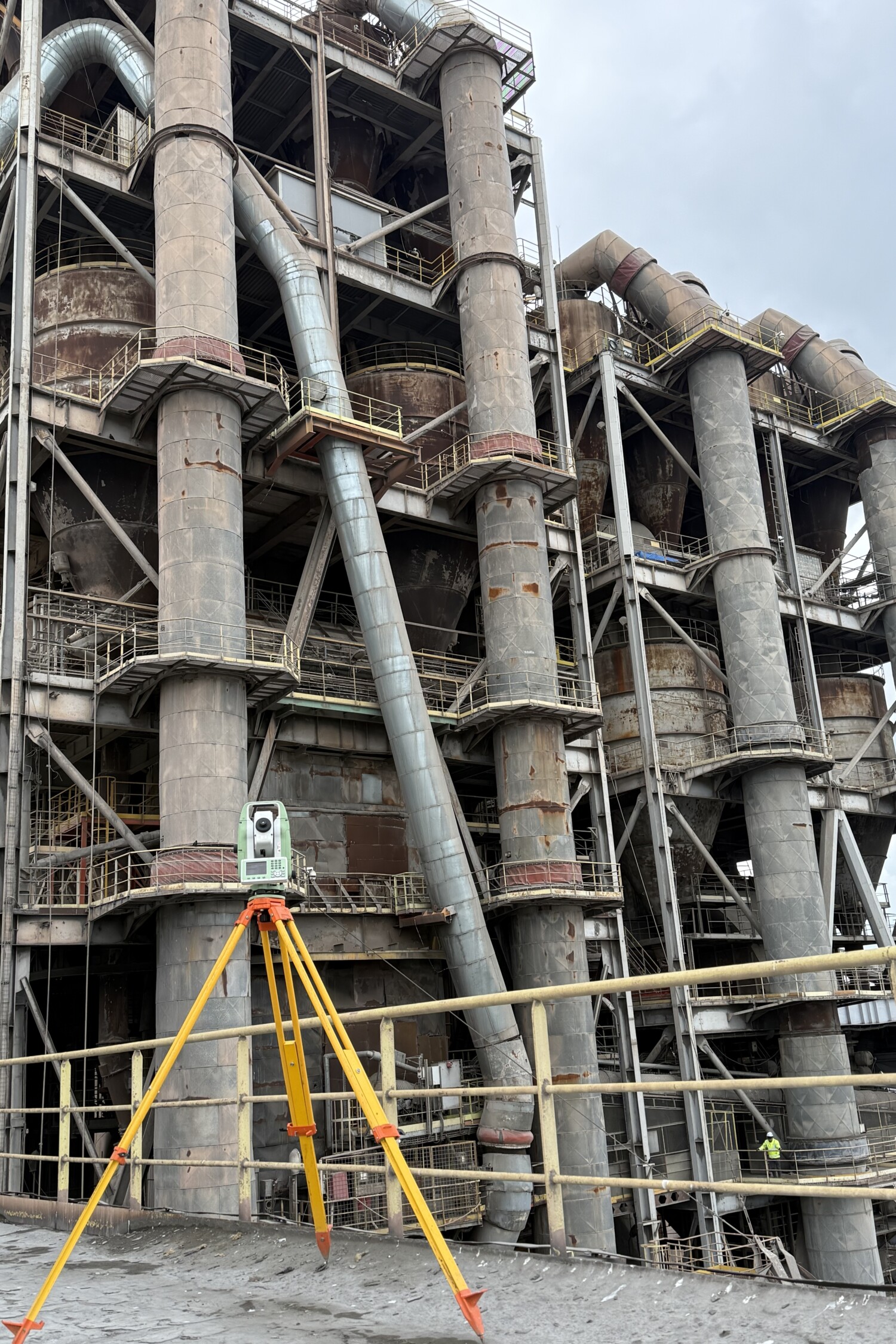
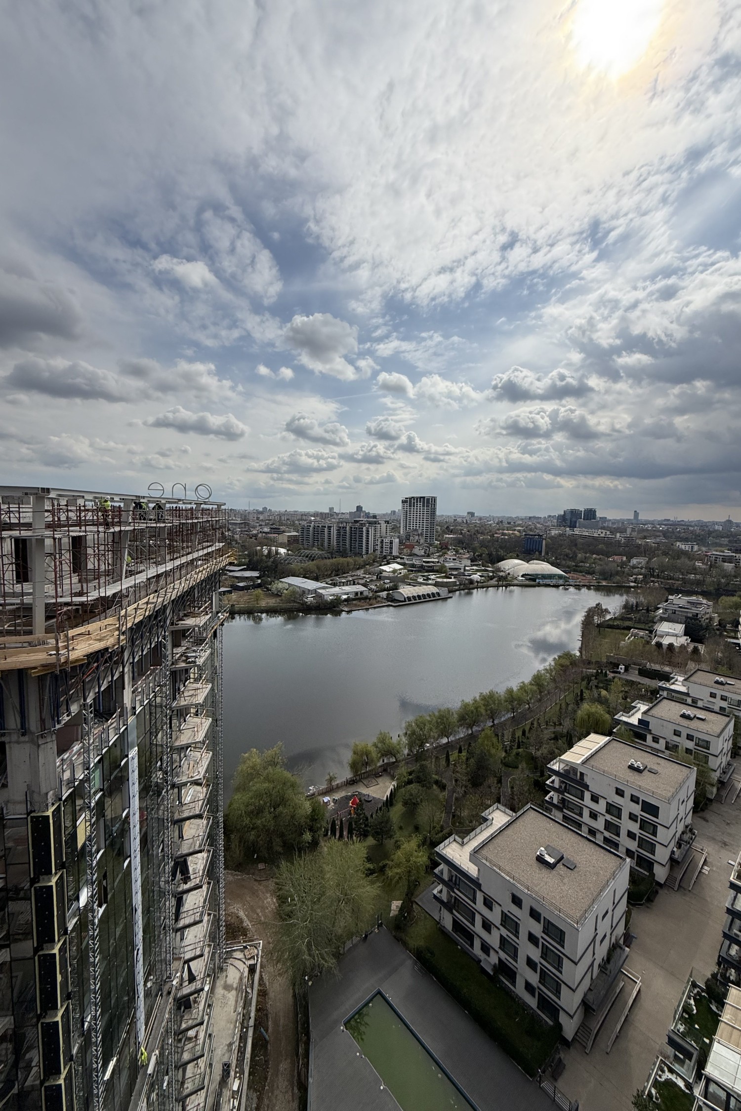
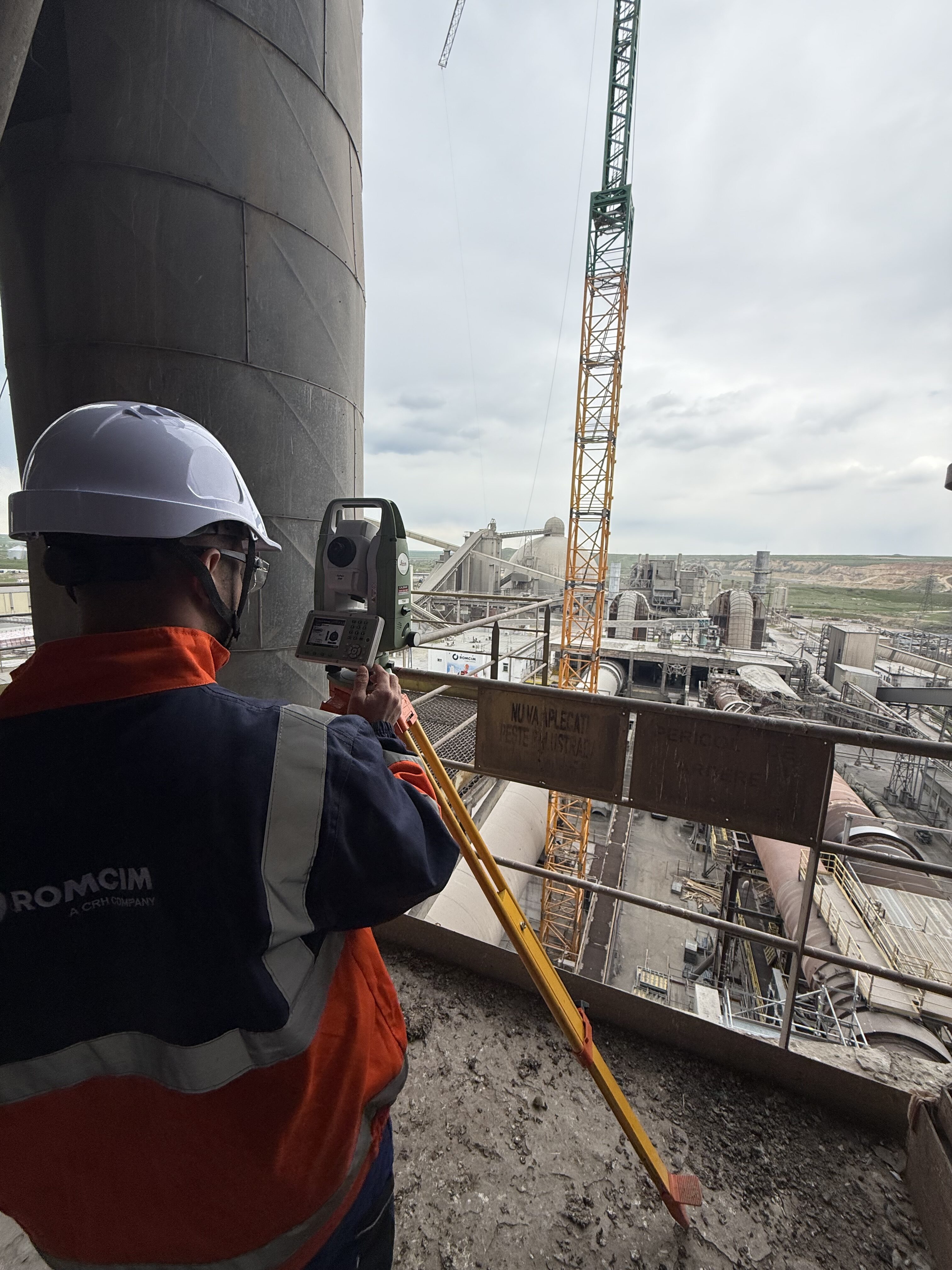
The field of surveying and cadastral has evolved enormously in recent years, and we have grown with it. Today, we offer a full portfolio of services, covering all the essential stages in the development of a project – from initial surveying, to site assistance, cadastral documentation, technical consultancy and full digital support.

We work with contractors, architects, real estate developers and public authorities, as well as with individual beneficiaries who need measurements for construction, demolition, land registration or land registry updates.

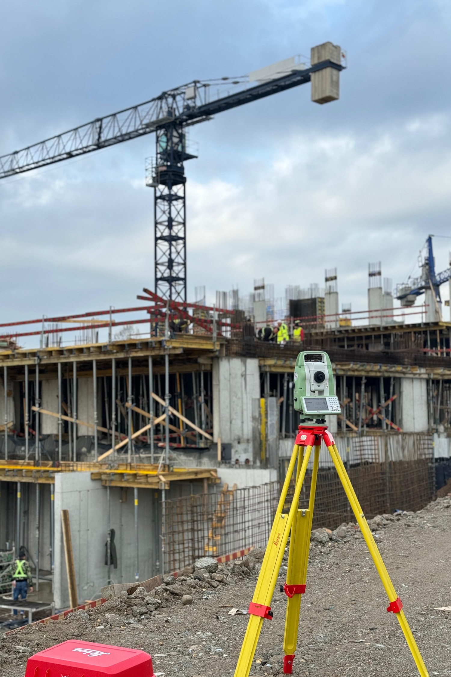
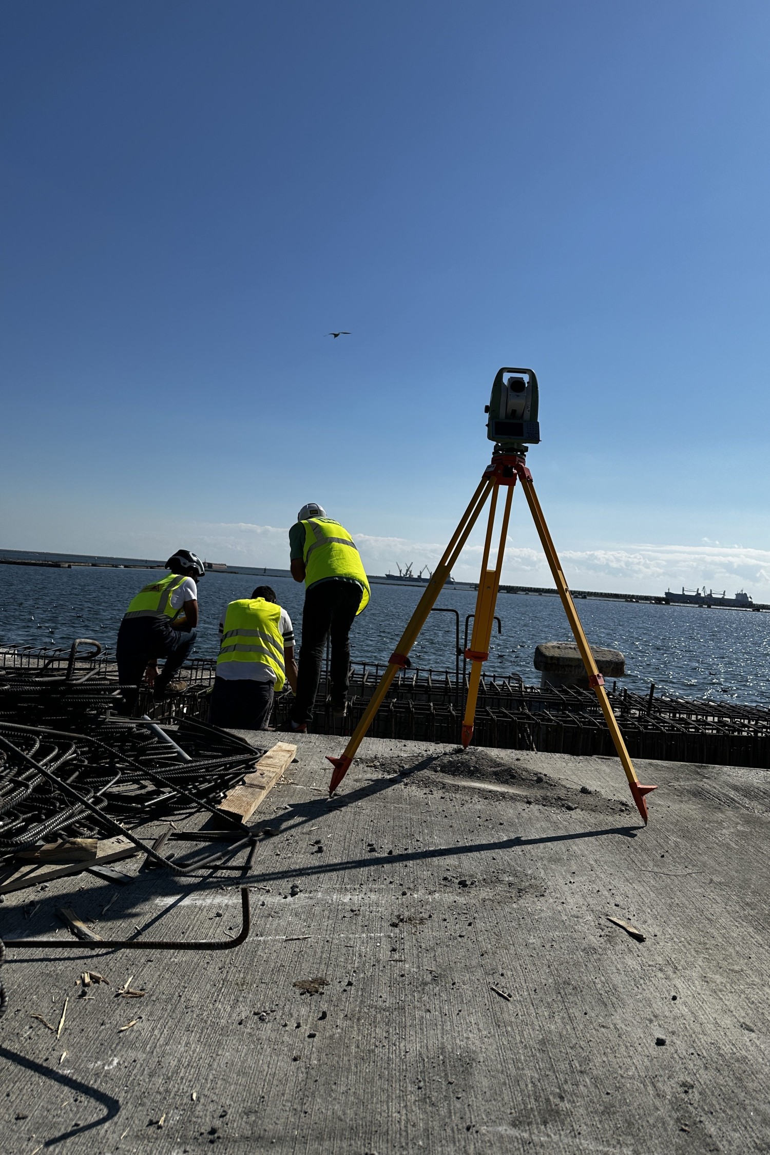
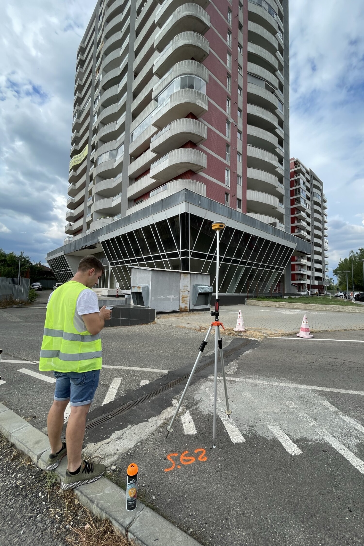
Technology is an integral part of our processes: we use high-precision total stations, Base-Rover GPS systems, drones for orthophoto mapping and advanced software for geospatial data processing.

Alege precizia. Construiește cu încredere.

Colaborează cu o echipă care îți oferă măsurători exacte, suport tehnic constant și seriozitate de la primul pas până la finalizarea proiectului. Contactează-ne pentru o ofertă personalizată!

SAU