Project developed in collaboration with the local authorities of Alba Iulia
Project type: Topographic survey for forestry infrastructure
Project Partners
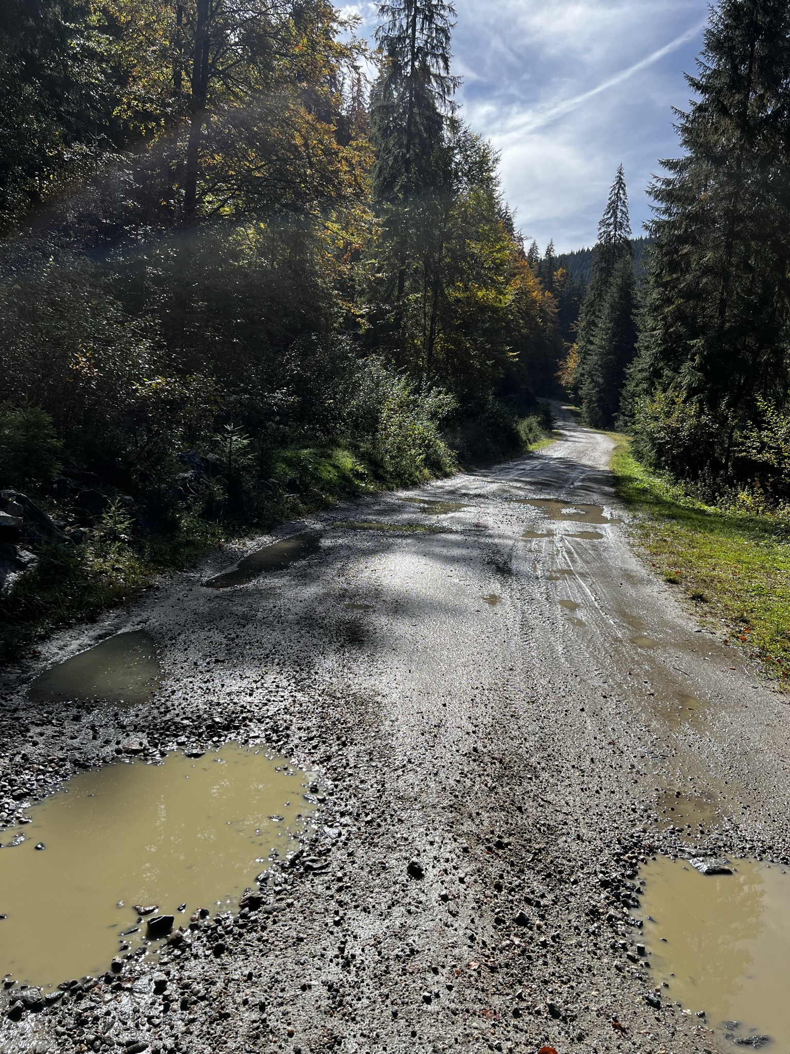
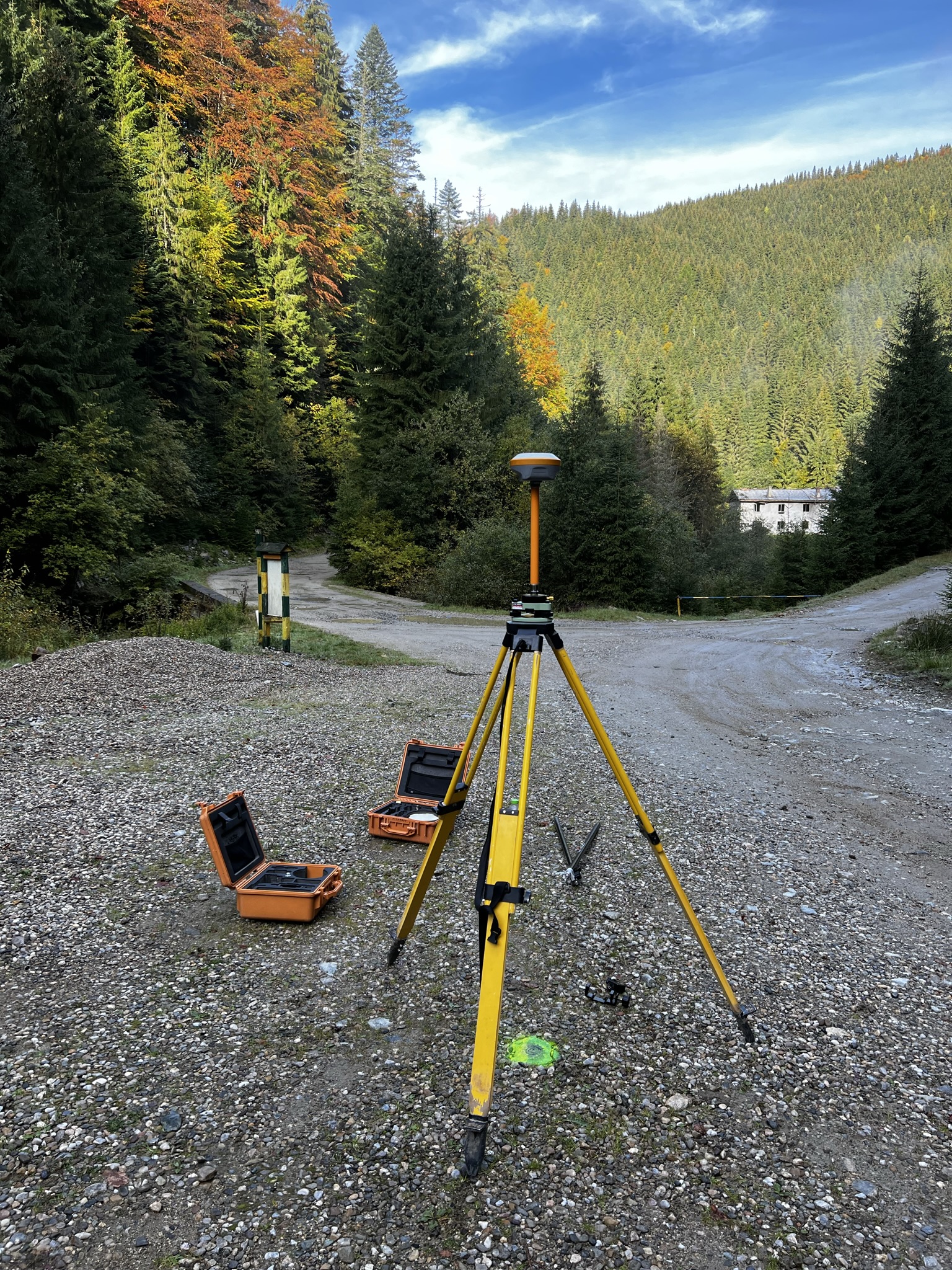
In this project, our team was involved in the realization of the topographic surveys necessary for a set of forest roads in a mountainous area difficult to access, located near Alba Iulia.
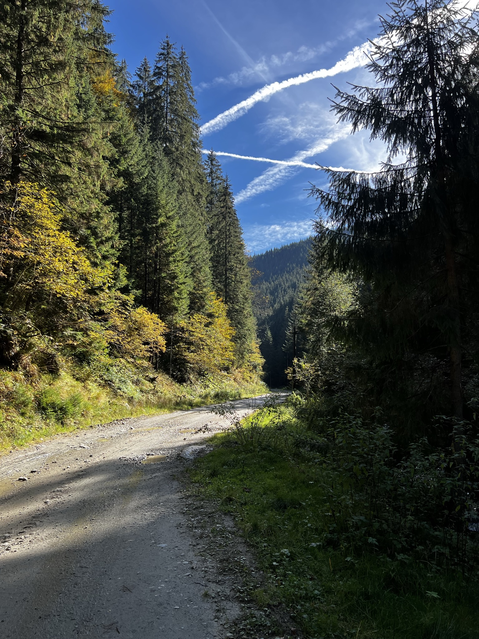
Given the difficult terrain and dense vegetation, we chose a needs-oriented technical approach, using static measurement methods and from fixed, strategically located station points. The equipment used – especially the total stations – was specially calibrated for high accuracy under extreme conditions. Measurements were followed by a rigorous data compensation and processing stage, using advanced software for compliant and immediately usable results in the design
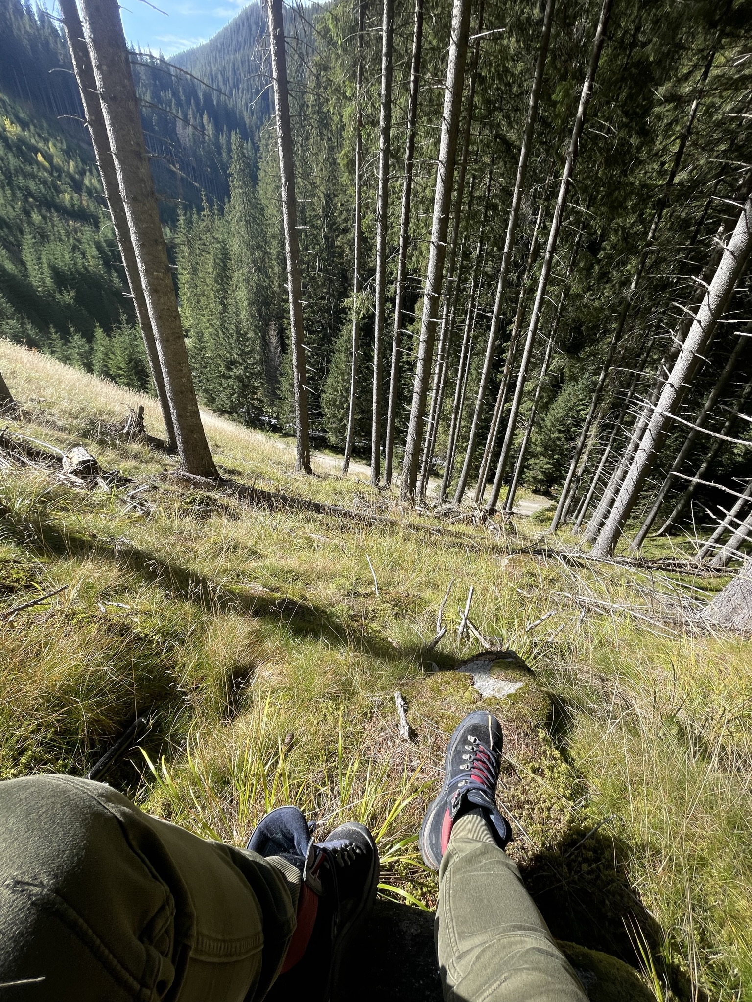
The project was carried out without internet access, which is why it became challenging and we had to resort to various other methods – static measurements, rover base, traveling into the wind and compensating for it in advance, demonstrating our team’s ability to work efficiently in any environment.