Project developed in collaboration with Graphein
Project type: Topographical assistance for port infrastructure
Project Partners
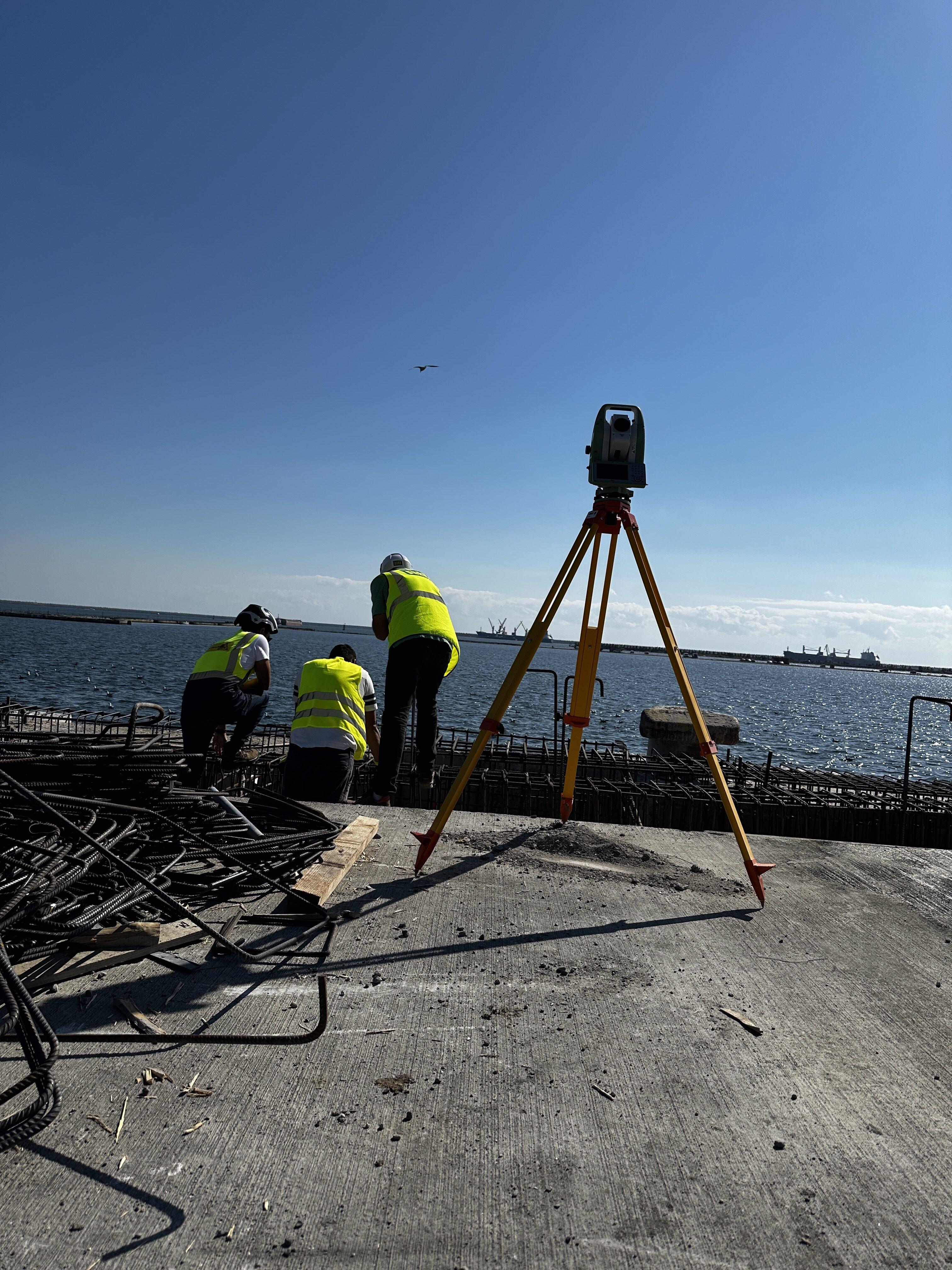
Within this project, our company was responsible for the topographic assistance throughout the works of expansion and modernization of the Agigea Port, part of the Constanta port complex. The interventions were carried out over a large area, in a complex technical environment, in which the accuracy of the measurements and the coordination of the field teams were essential for the smooth running of the works.
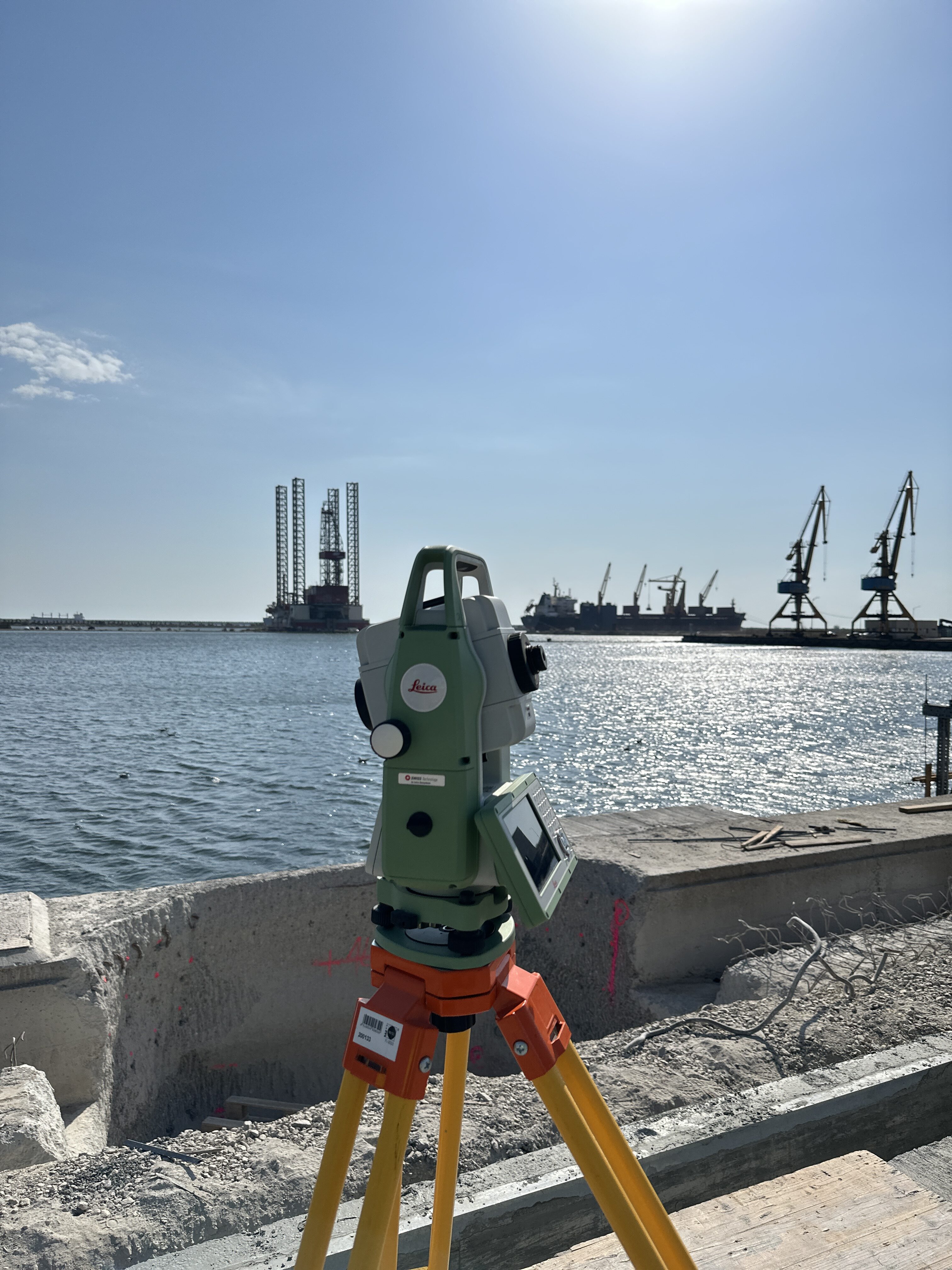
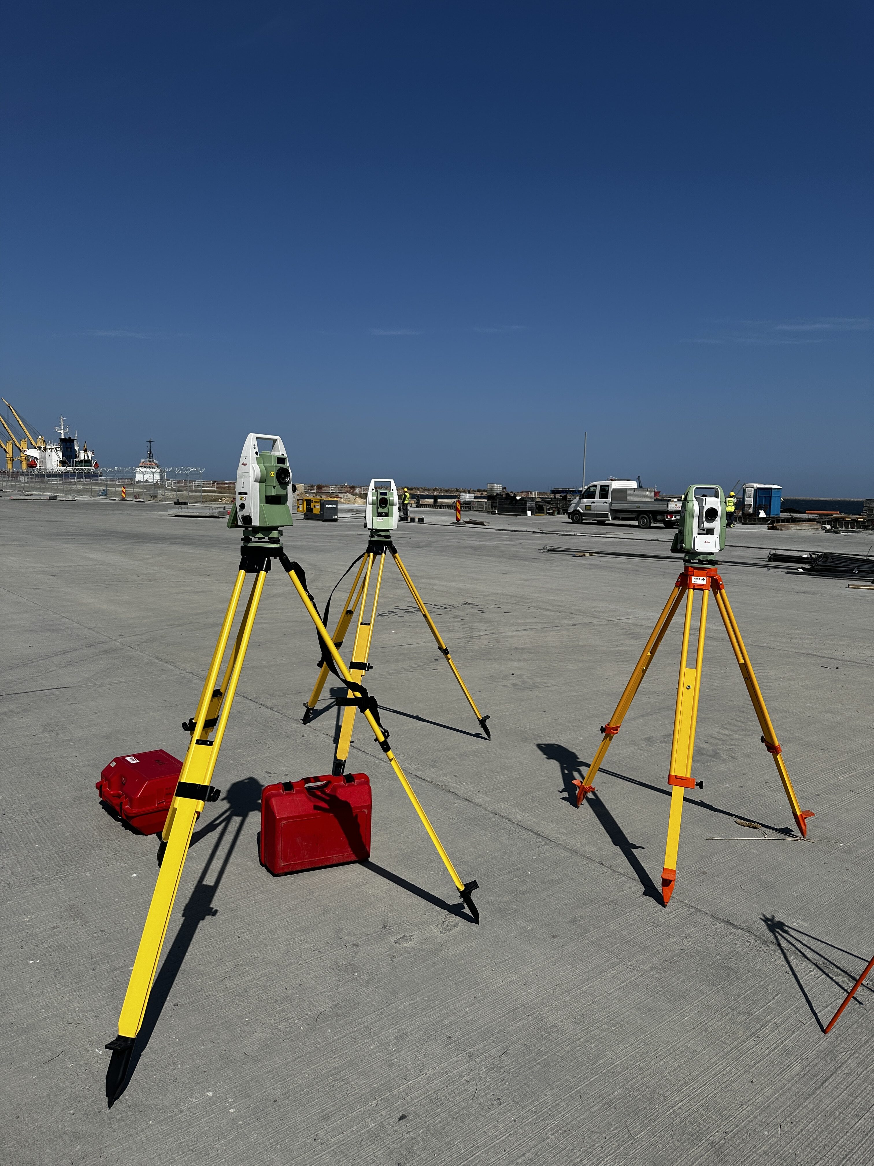
We performed high-precision measurements using robotic total stations and high-performance GPS GNSS equipment. Stages included: establishing the geodetic networks, plotting the axes for the port infrastructure works, constant checks of the executed elements, and updating the plans as the works progressed. The data collected was processed and correlated with the technical documentation provided by the beneficiary
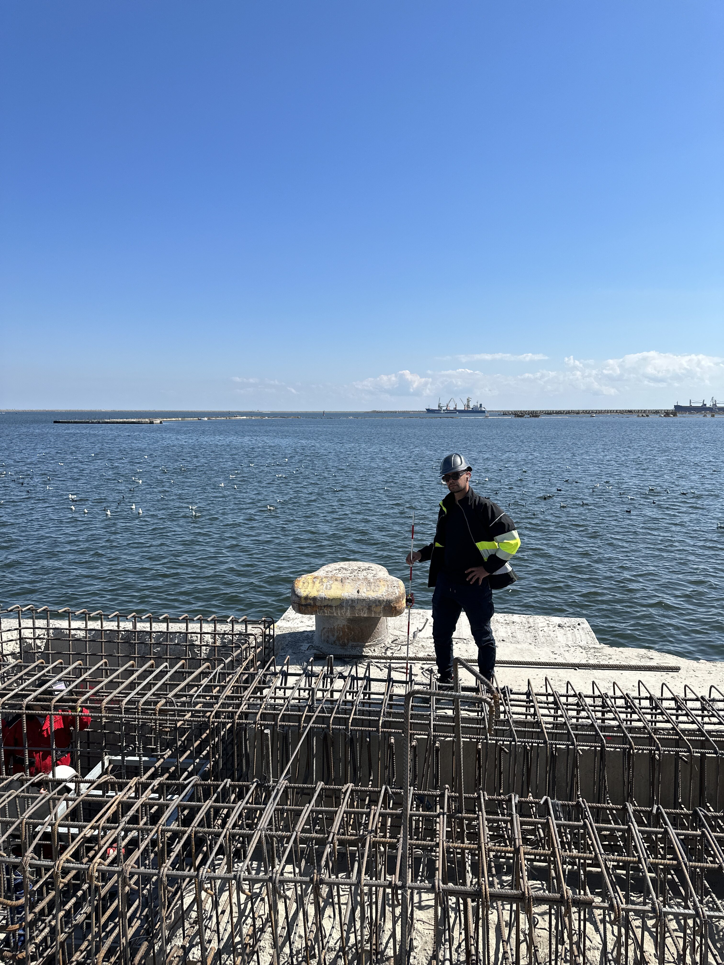
Our services have been instrumental in monitoring execution and maintaining an optimal workflow with constant control over deviations. Through our active presence on the construction site, we supported the technical teams with rapid tracings, checks and adjustments, thus contributing to the successful implementation of this strategic project for naval and maritime transportation in Romania.