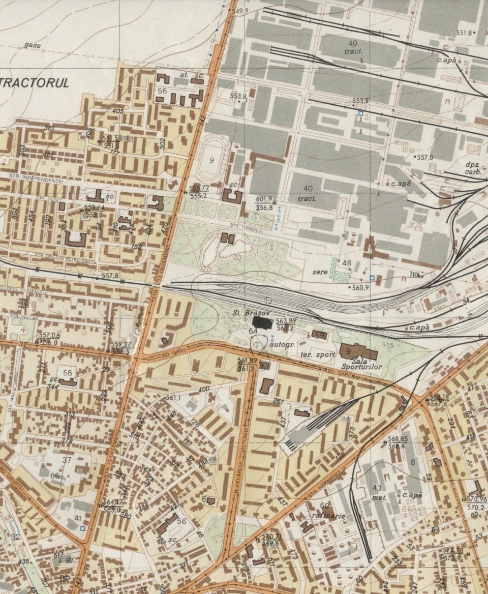
What a topographical plan contains and why it's vital in design
A detailed topographic plan contains all the elements necessary to understand the configuration of the land: property boundaries, existing buildings, visible utilities, roads, vegetation, elevations, contour lines, contour contours, and other features of interest. The plan can be used for obtaining permits, architectural designs, establishing foundation elevations, designing networks and accurately plotting features on site.
In addition, depending on the client’s needs, we can integrate orthophotos, digital terrain models (DTMs), slope analysis or volumetrics. Our experience covers works for private clients, real estate developers, public institutions and construction companies. Whatever the client, we adhere to the same high standards of accuracy, clarity and delivery.
We work transparently, communicate effectively and ensure that the plans we deliver can be immediately integrated into the next stages of the project.


Accuracy and digital compatibility
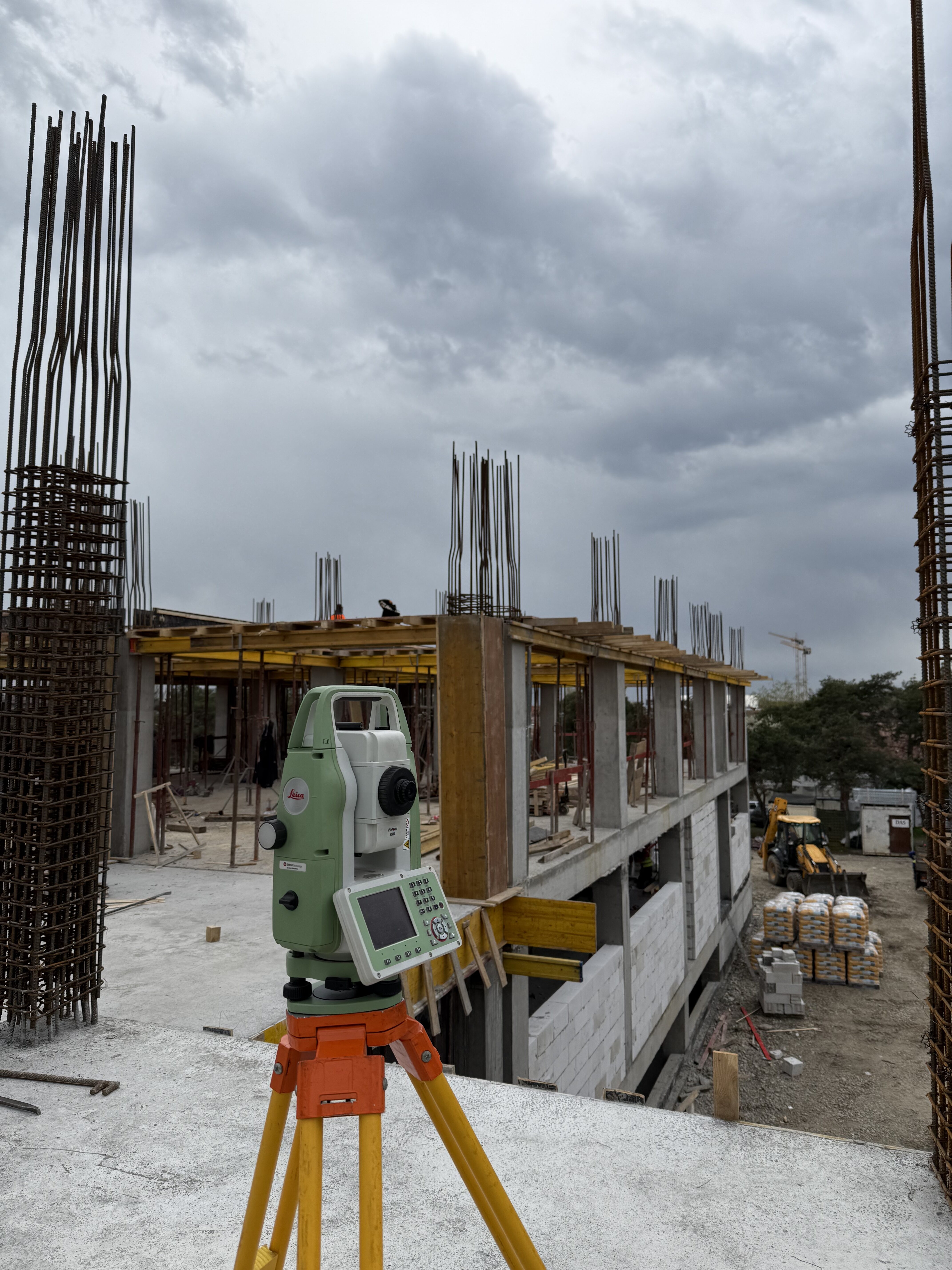
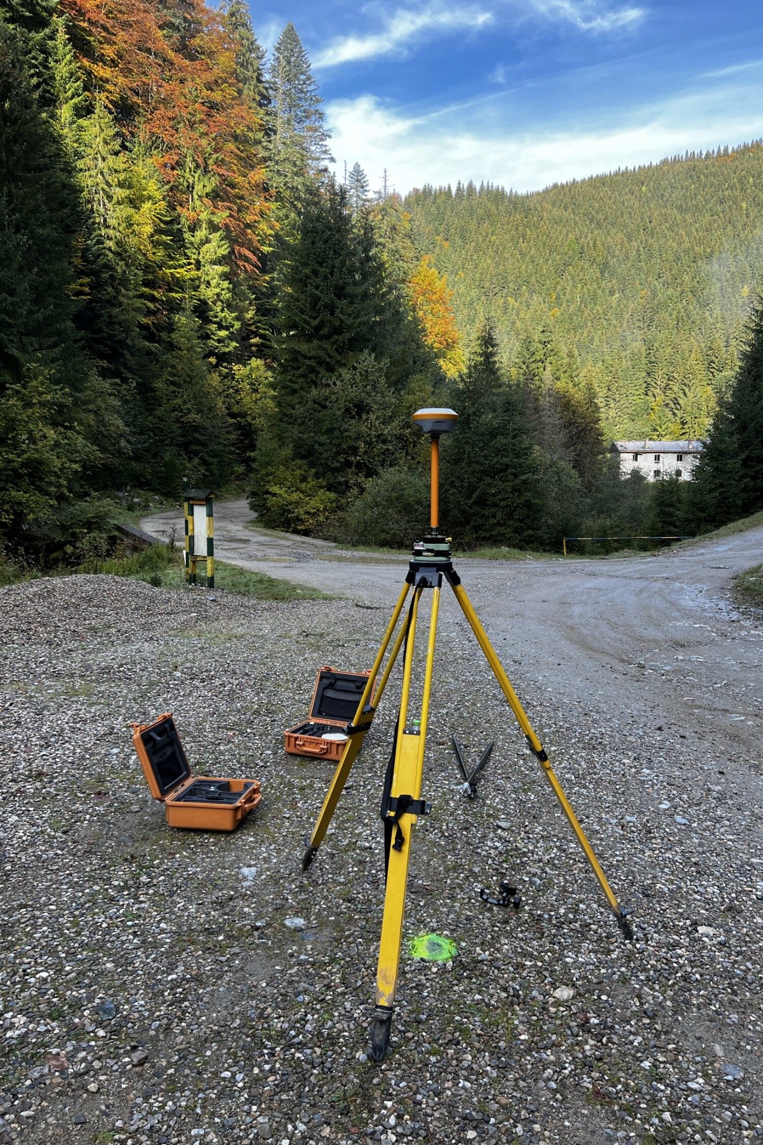
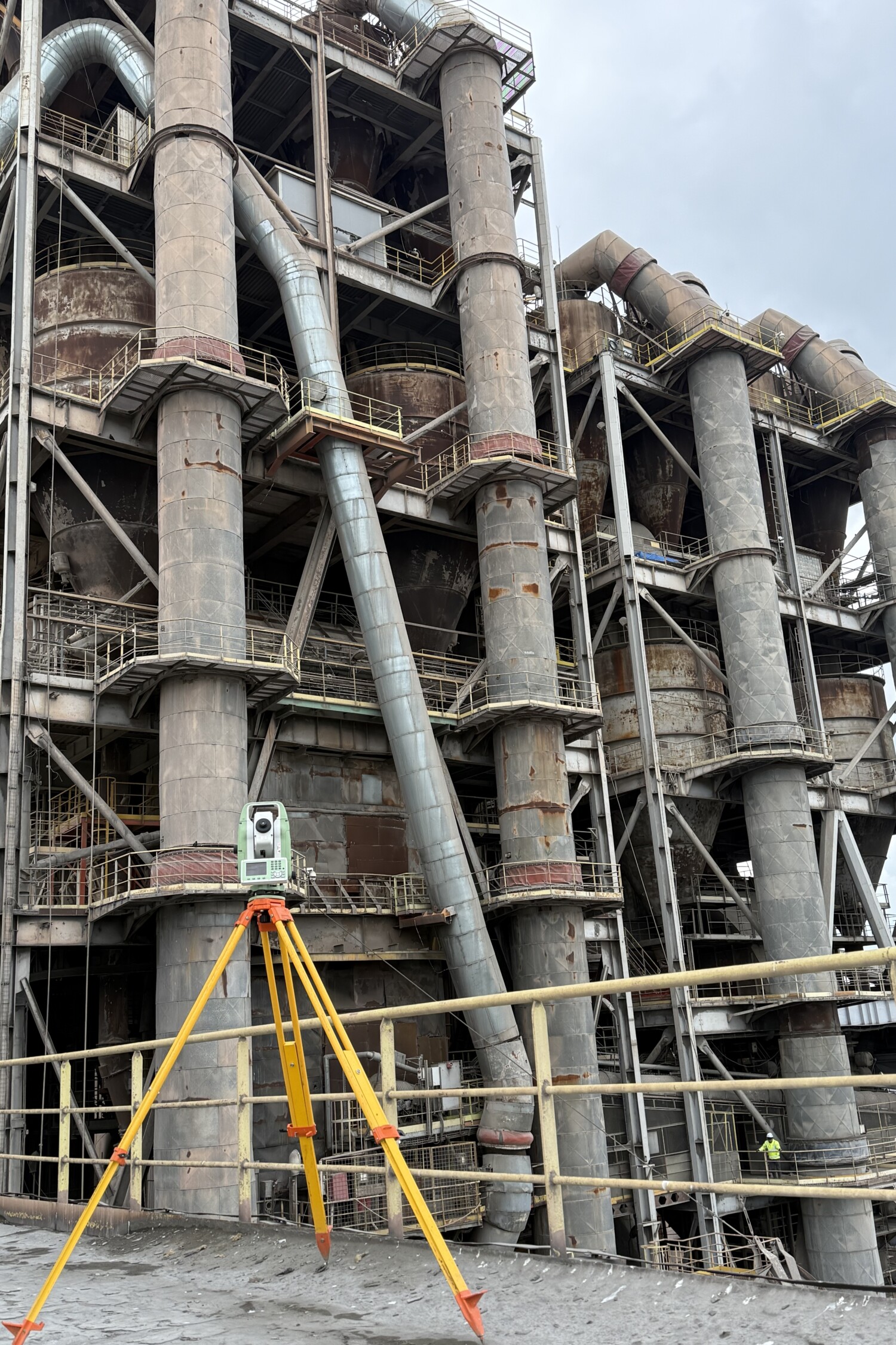
Data measured with professional equipment, delivered in standard formats compatible with AutoCAD, Civil 3D, GIS and other technical software.
Complete and compliant documentation
The plans include all the elements required by the technical rules and can be used for approval, design or
execution.
Flexibility and adaptation to the project
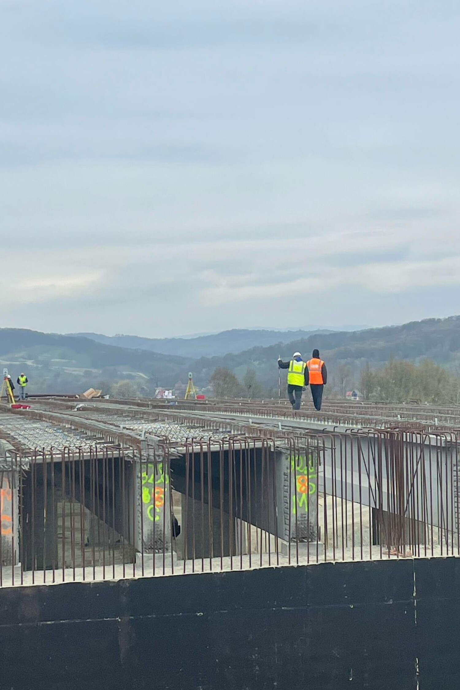
Each plan is customized according to the specific nature of the work: civil construction, roads, building installations or urban redevelopment.

They trust us