Full services for measurements and terrain representation
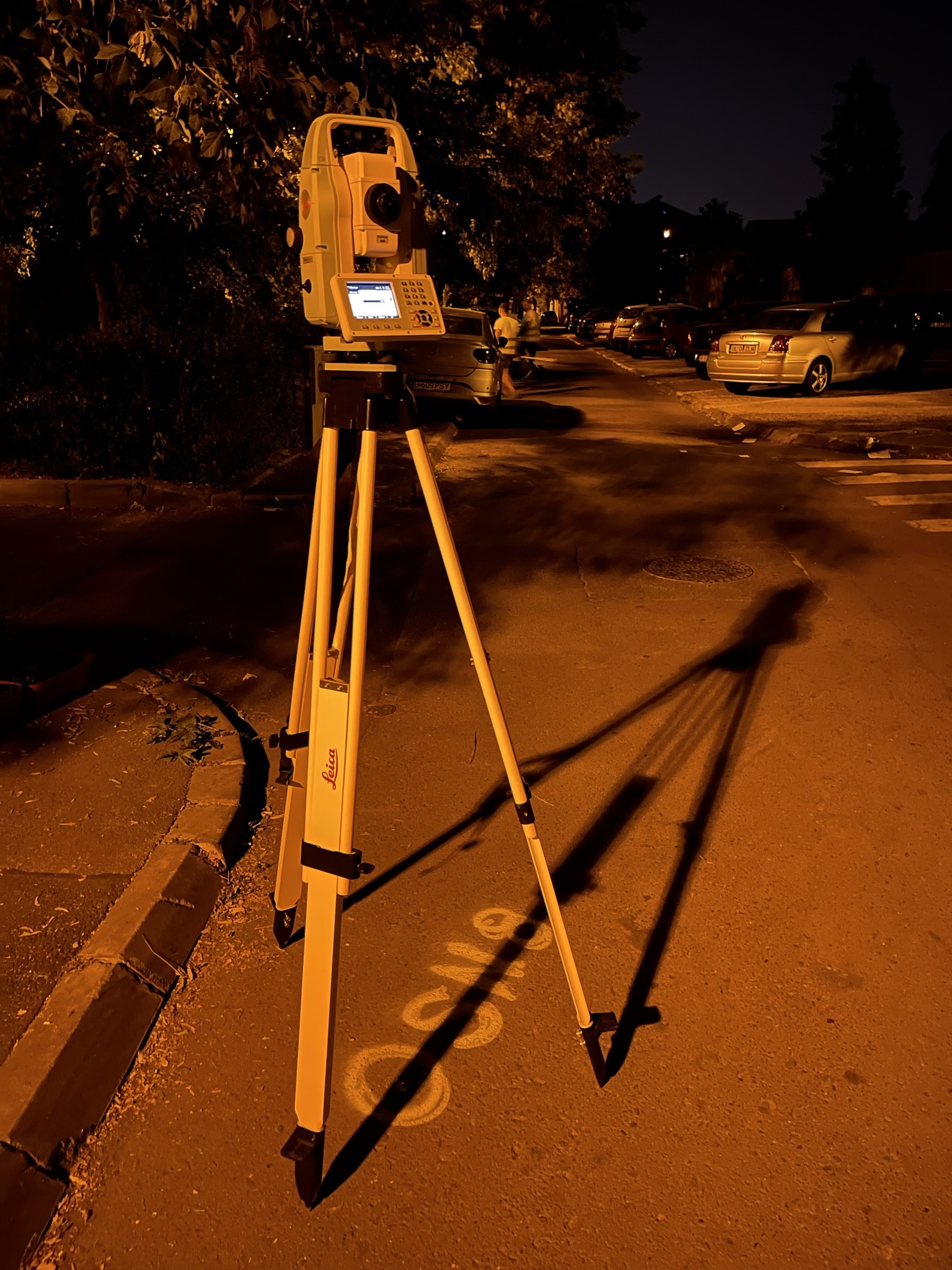
We offer a full range of specialized services for detailed measurements, accurate graphical representations and dedicated technical support at every stage of your project. From planimetric and elevation surveys, construction and infrastructure surveying, to structural displacement monitoring and daily on-site assistance, each intervention is carried out with advanced technology and maximum attention to data accuracy. By combining our experience with the modern equipment used (total stations, GNSS systems, professional drones), we offer you customized solutions that meet today’s requirements in construction, urban planning, engineering and real estate development.
Colaborează cu o echipă care îți oferă măsurători exacte, suport tehnic constant și seriozitate de la primul pas până la finalizarea proiectului. Contactează-ne pentru o ofertă personalizată!