
They trust us


Echipa noastră
AMC GEOZONE MES SRL & BUZ GEOPRIME CAD SRL
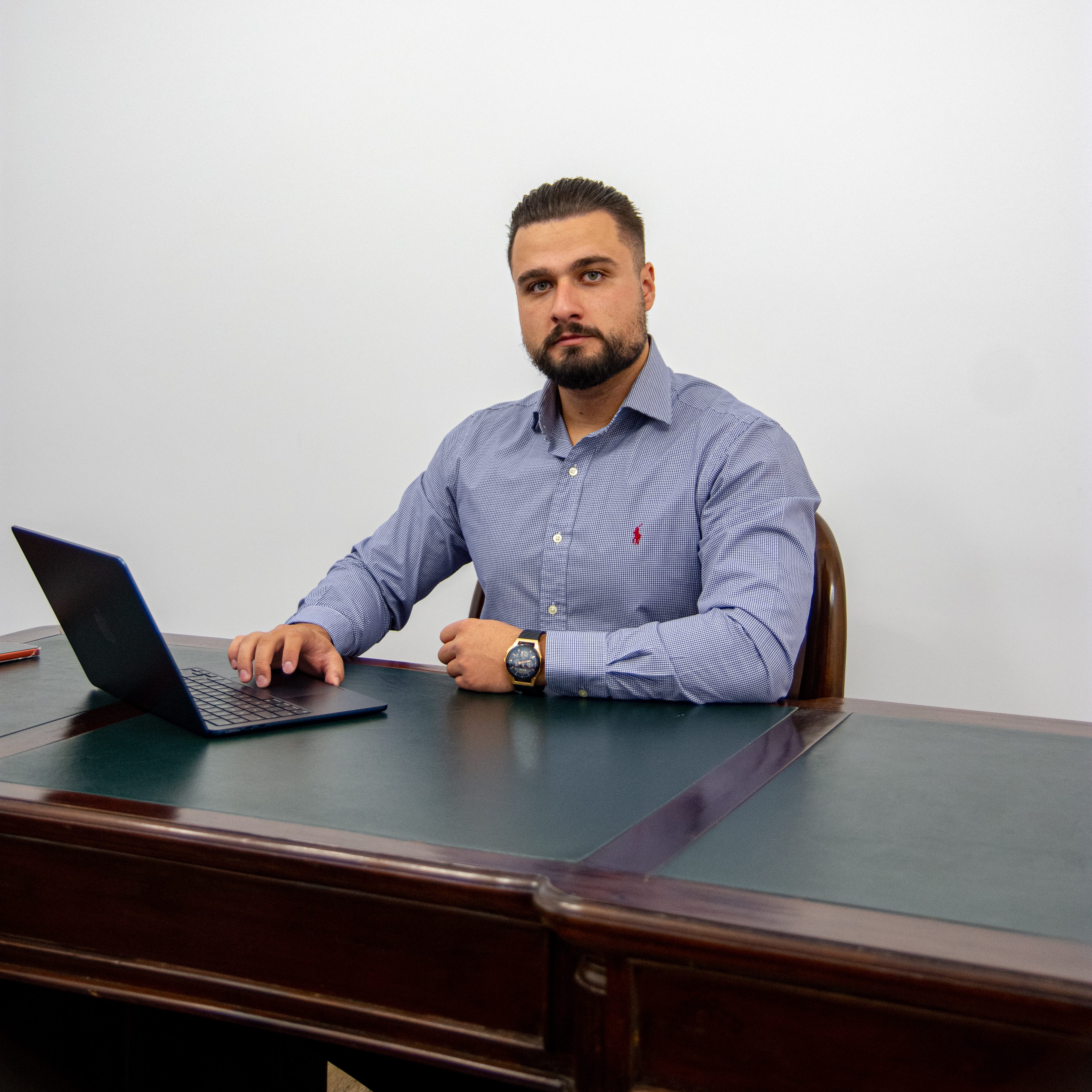
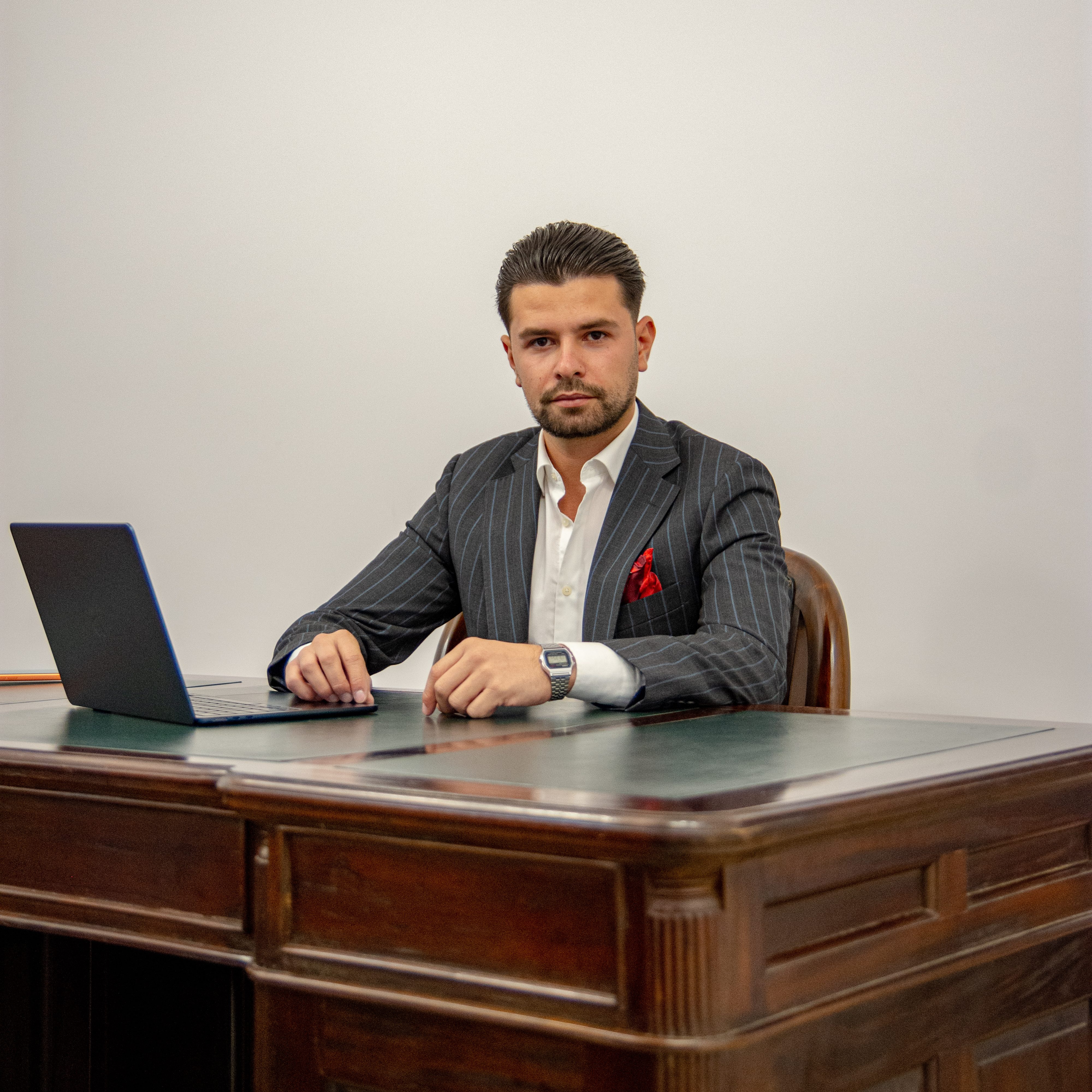
Eng. Mocanu Alin
Catalin
Co-fondator

Eng. Buzenche Andrei Cosmin
Co-fondator
Eng. Andrei Albert Valentin
Ing. Coordonator Topografie
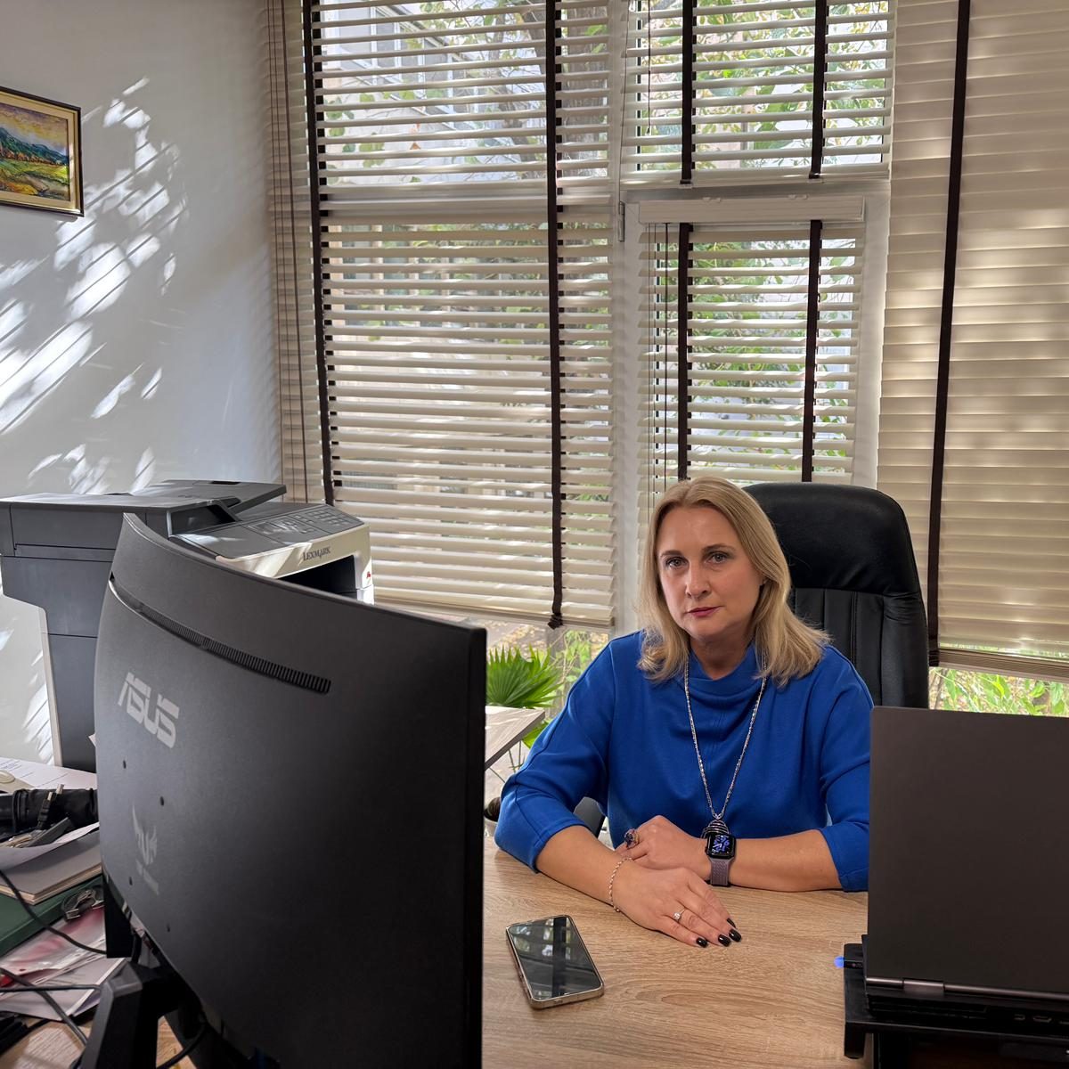
Eng Mocanu Magdalena Mariana
Ing. Coordonator Cadastru
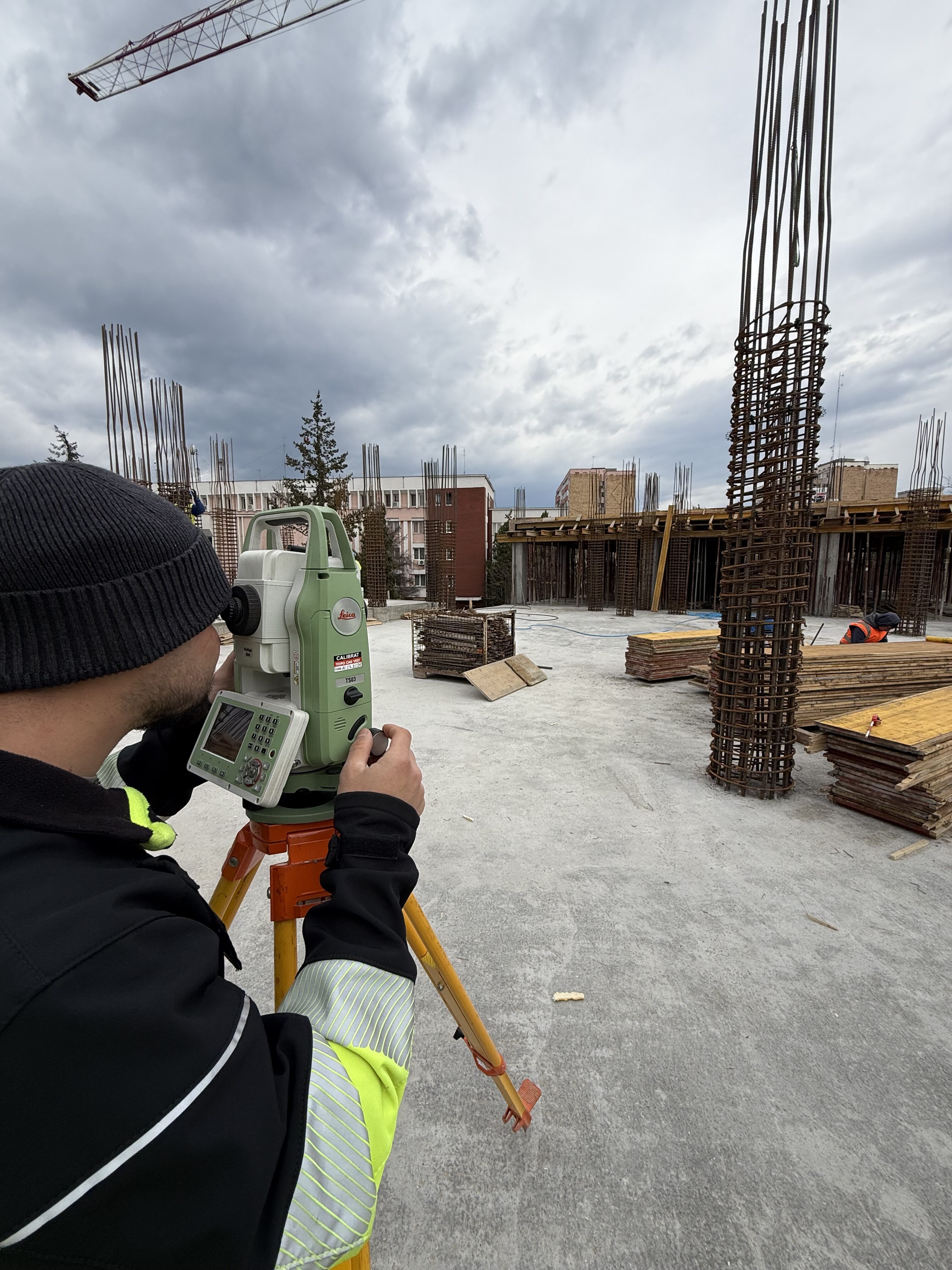
Topography
Accurate data, solid results.
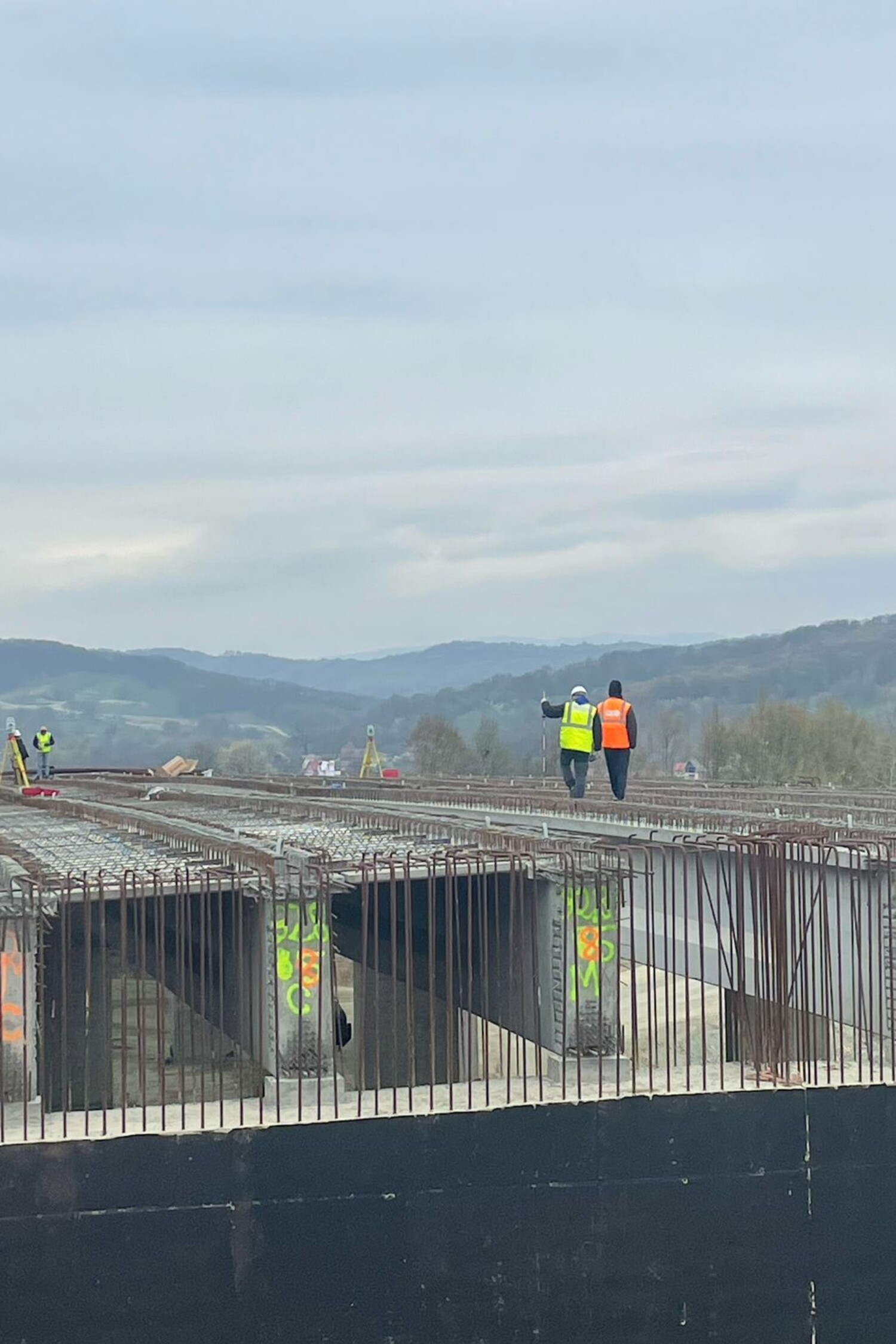
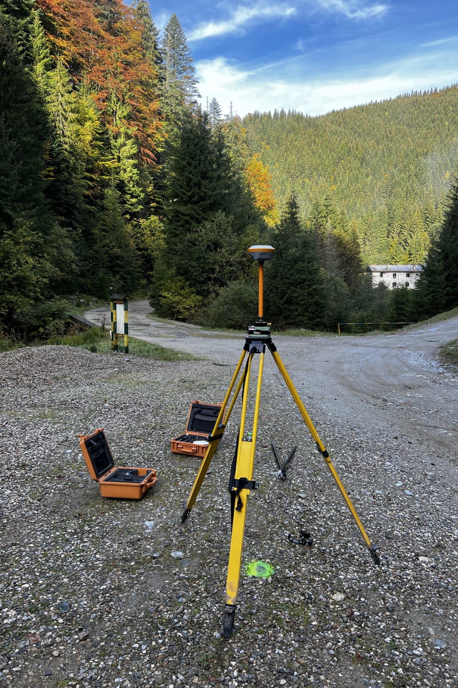
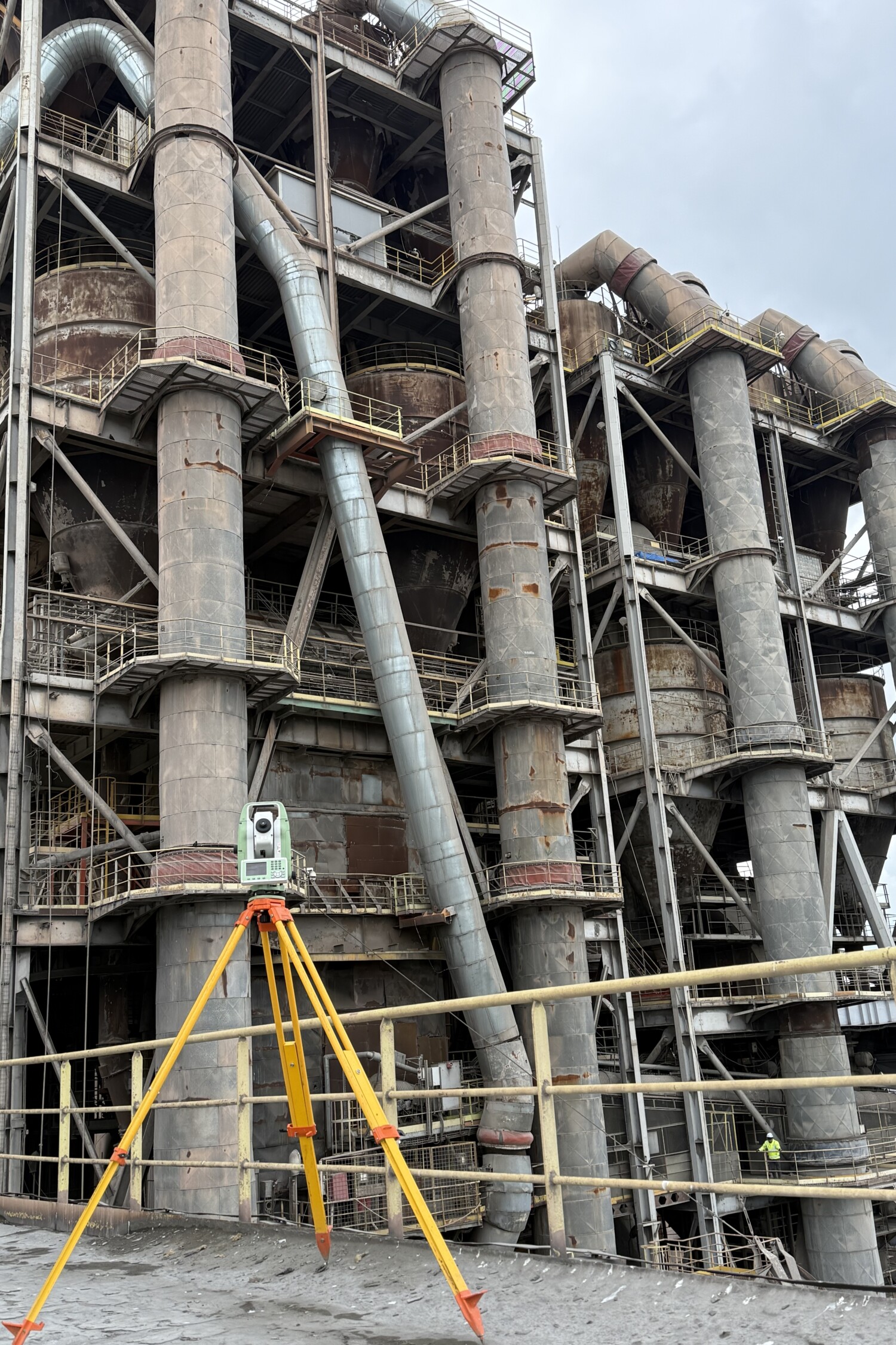
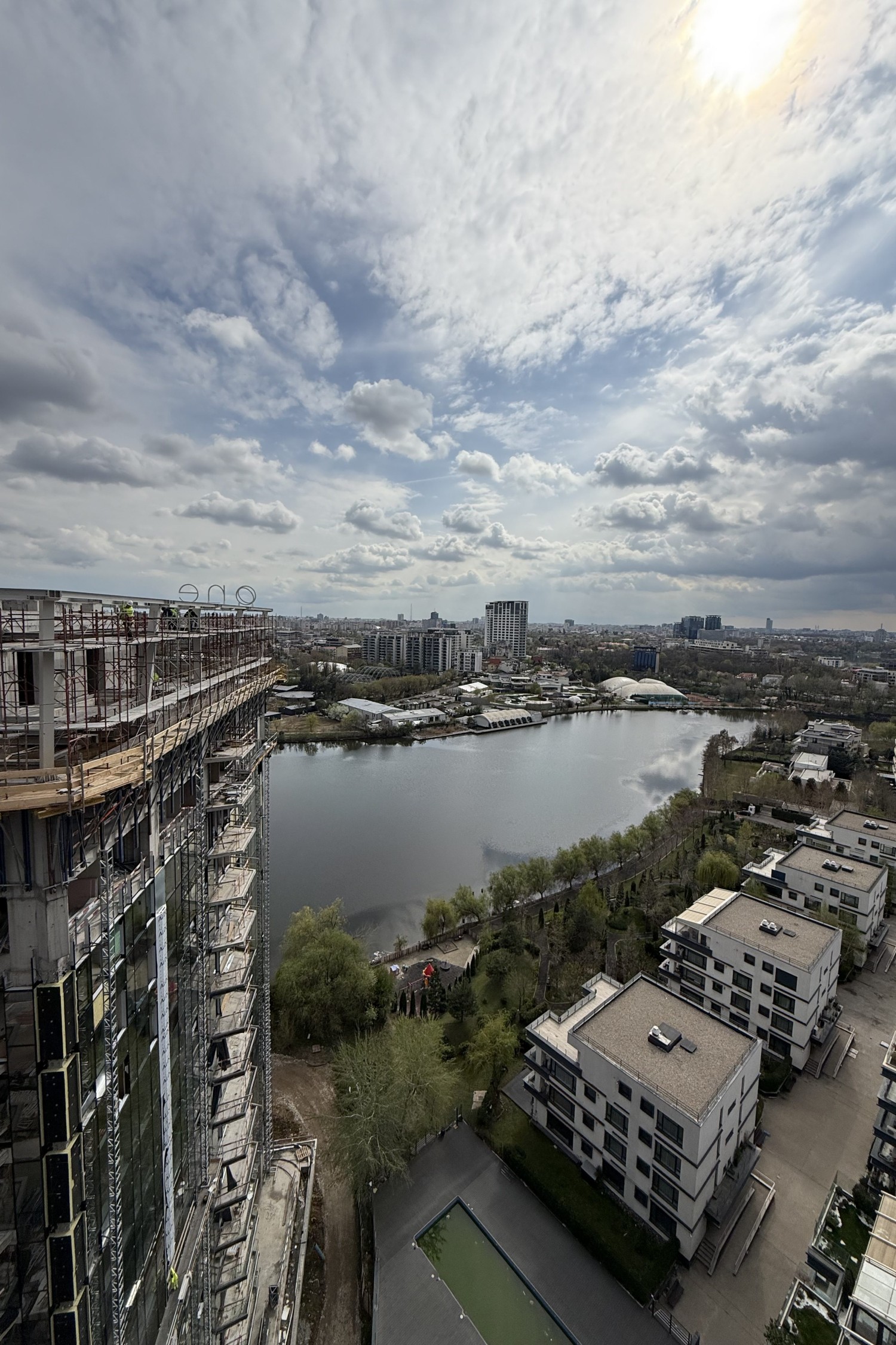
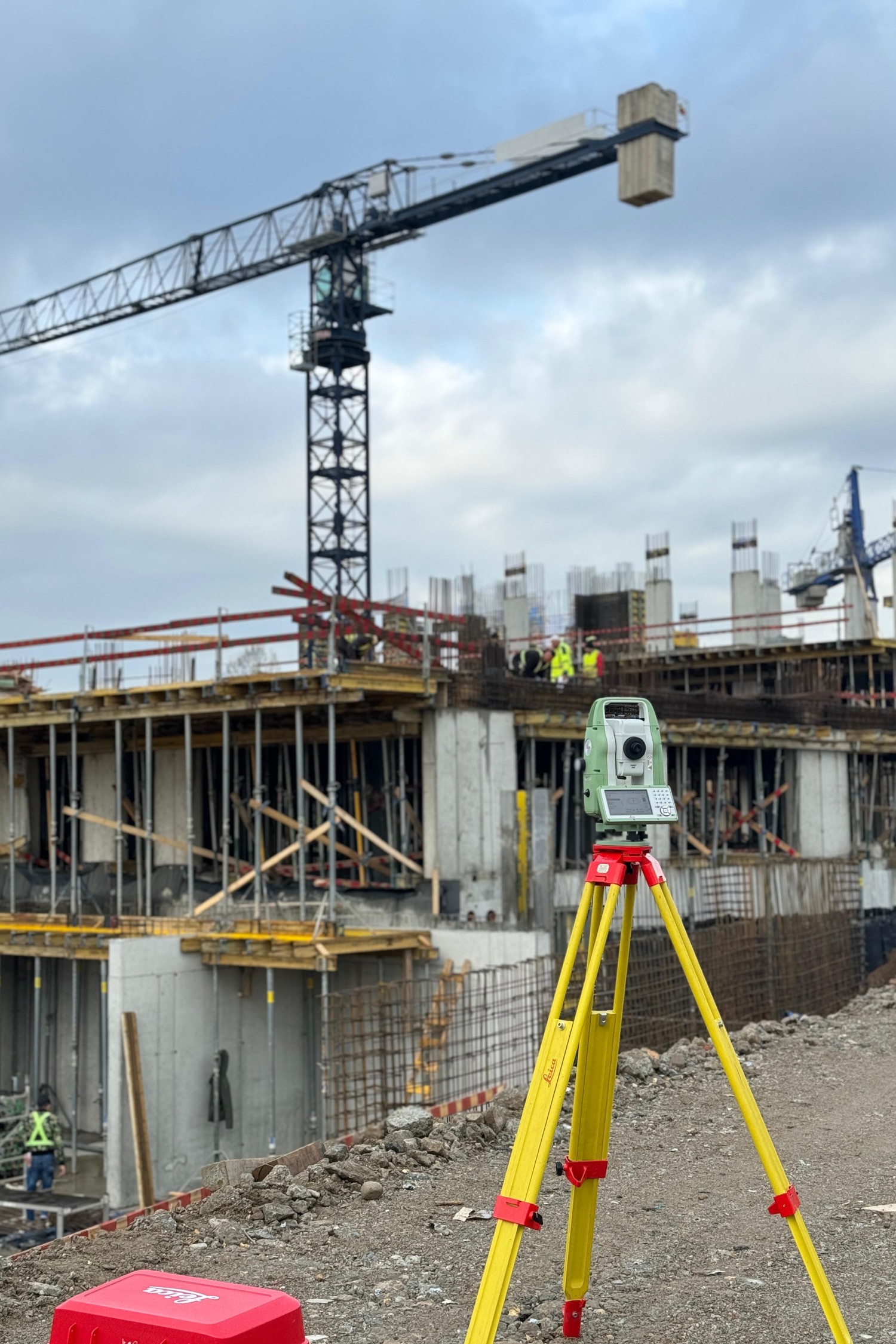
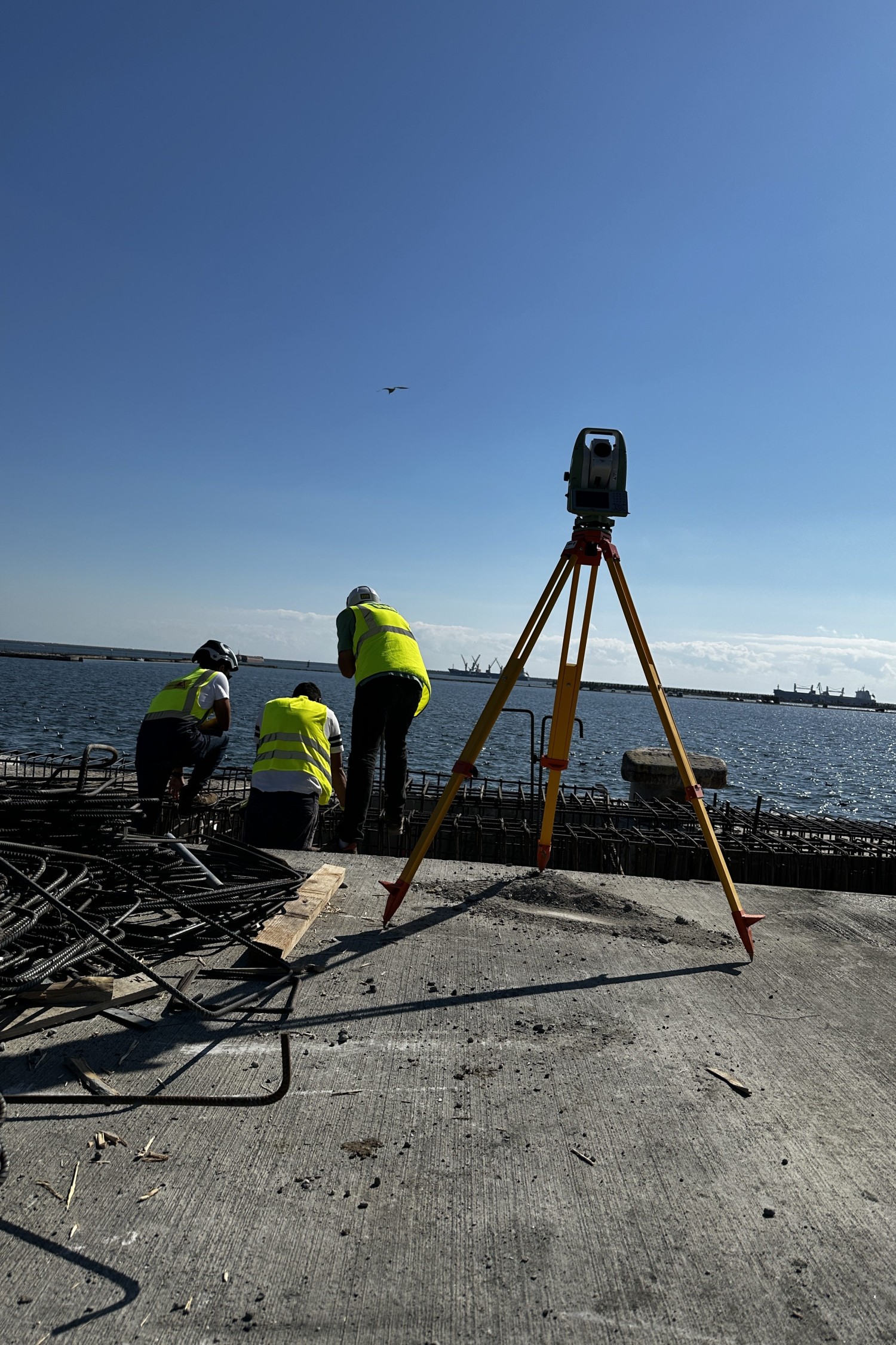
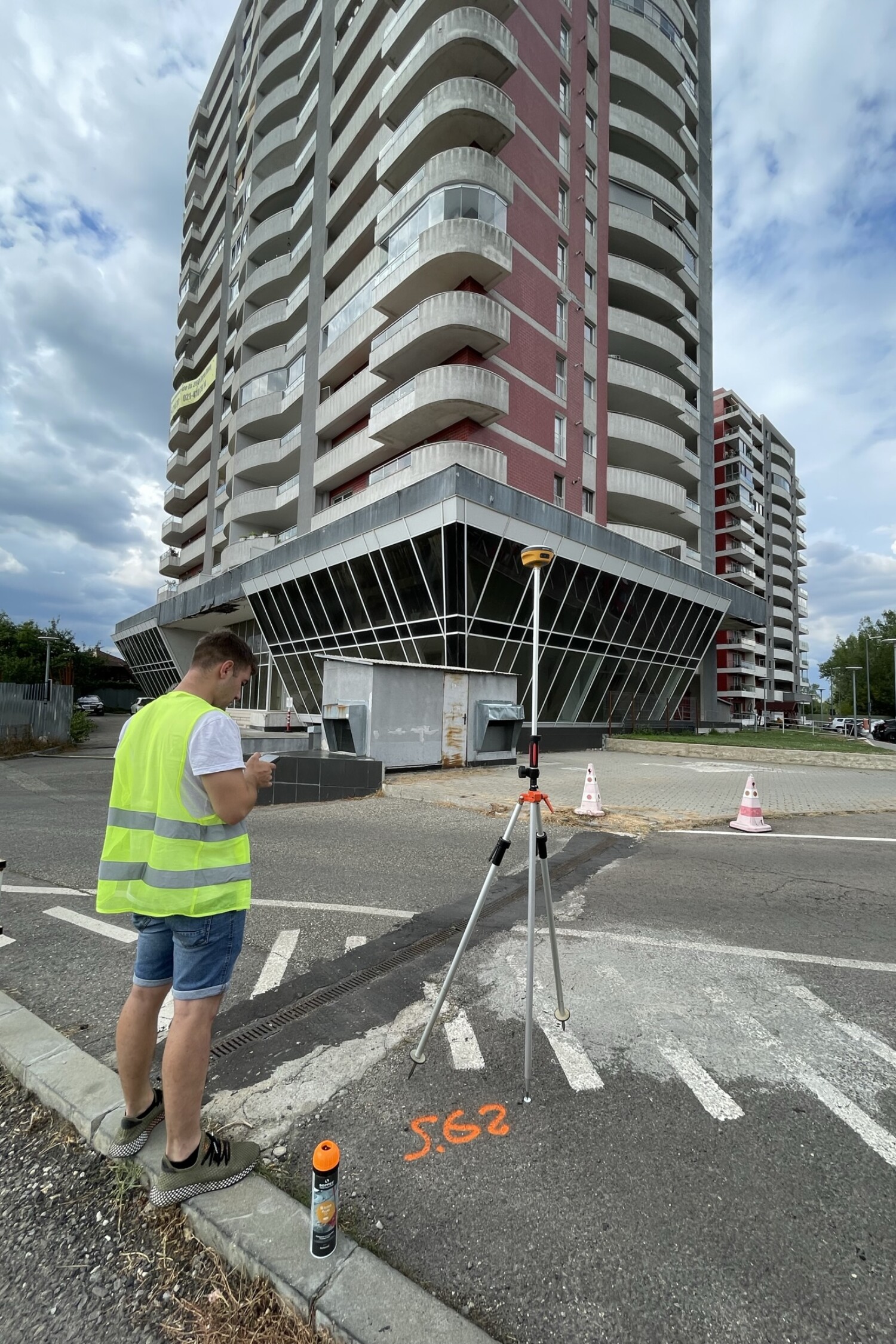
We map reality with pinpoint accuracy. Whether it’s major infrastructure, real estate development, or municipal works, accurate topographic data is the foundation of any successful project. Our team combines experience with modern technology to provide clear plans, fast measurements, and support at every stage.
View moreCadastre
We digitize property.
We transform land and buildings into clear and accessible digital data. With a comprehensive approach—from field measurements to CGXML file delivery—we handle all stages of cadastral surveying. We provide both individual registrations and large-scale systematic projects, supporting the modernization of land records in Romania.
View more
Millimeter precision in all conditions
We use state-of-the-art technology to ensure accurate measurements, even in difficult environments or hard-to-reach areas.
Proven expertise in complex projects
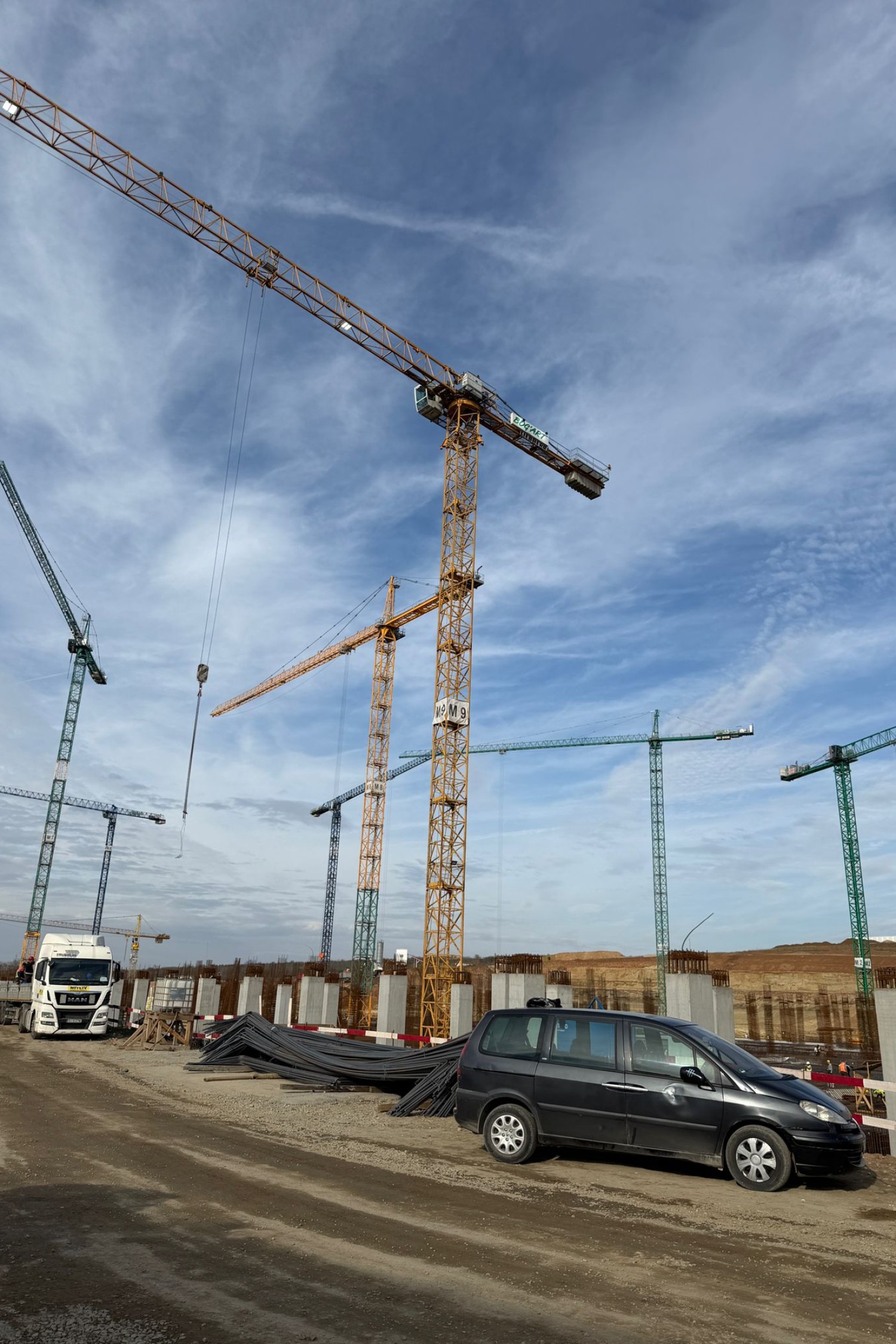
Our portfolio includes topographical surveys for motorways, ports, military bases, residential complexes, and municipal projects.
Speed and flexibility in execution
We adapt to the requirements of each project and deliver results in a short time, without compromising quality.
Comprehensive consulting and ongoing support
We provide support throughout the entire process — from the initial surveys to the delivery of the final documentation and acceptance of the works.
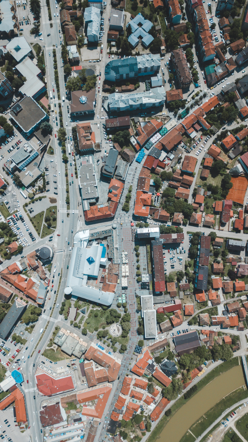
Cadastre
We digitize property.
We specialize in systematic and sporadic cadastral work, exclusively in the counties of Bucharest, Ilfov, Constanța, Brăila, and Galați.
We perform systematic and sporadic cadastral work for individuals, legal entities, and public authorities. From identifying properties to generating CGXML files and uploading them to the eTerra platform, we manage the entire process of digitization and registration in official records.
In a world where digitization is essential, cadastre is becoming a pillar of sustainable development. Through the modern systems we use—including drone flights, specialized software, and integration with the eTerra platform—we offer fast and comprehensive services. From rural to urban areas, we register each property with responsibility and rigor, helping to clarify property rights and facilitate real estate investments or transactions.