Topographic elevations
What are topographic elevations?
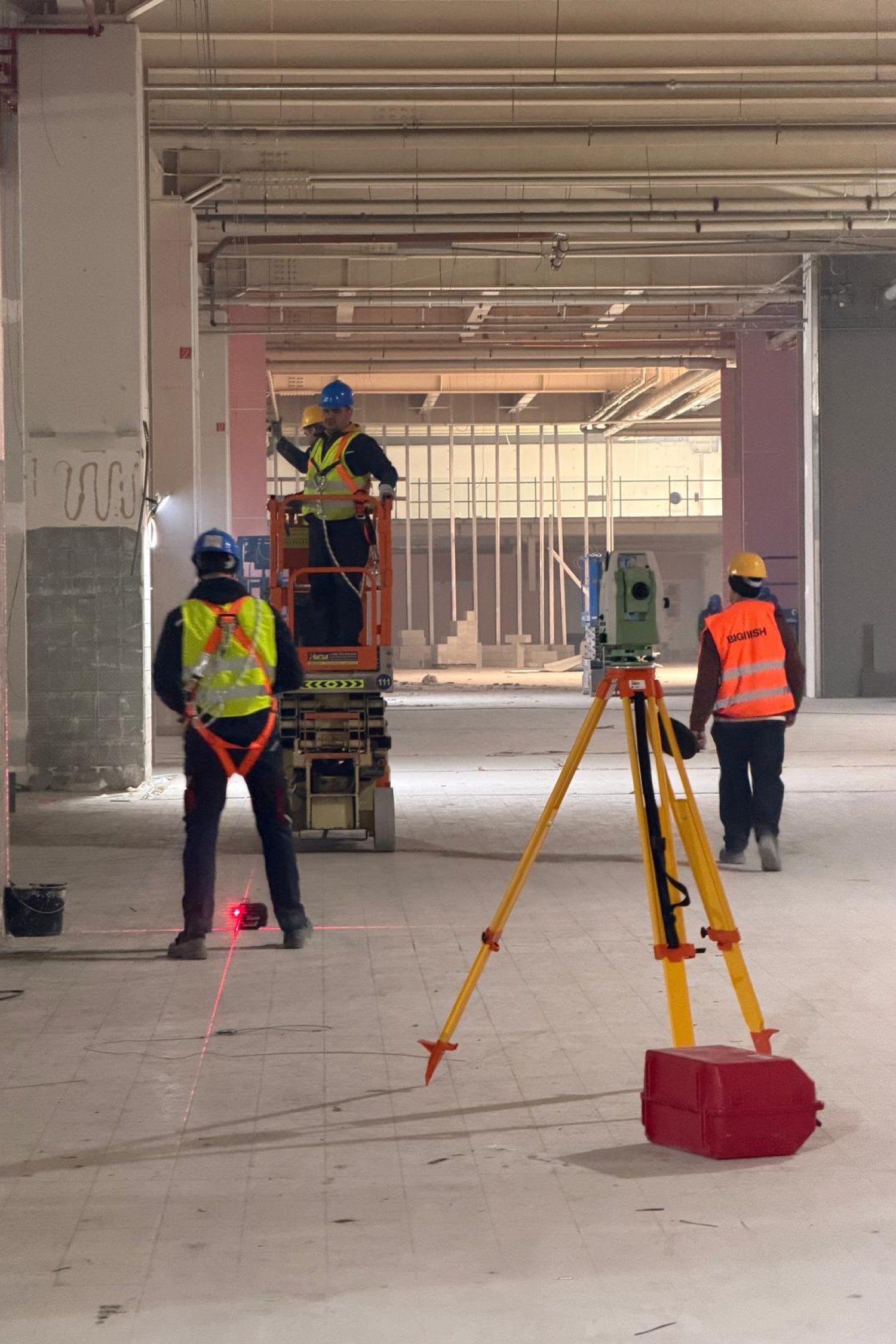
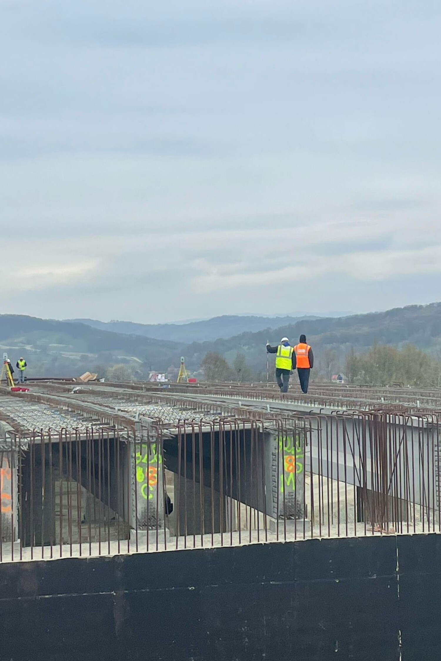
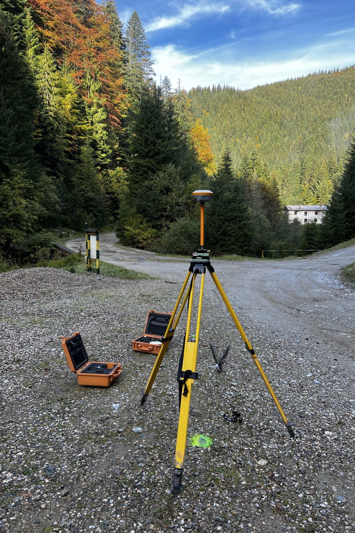
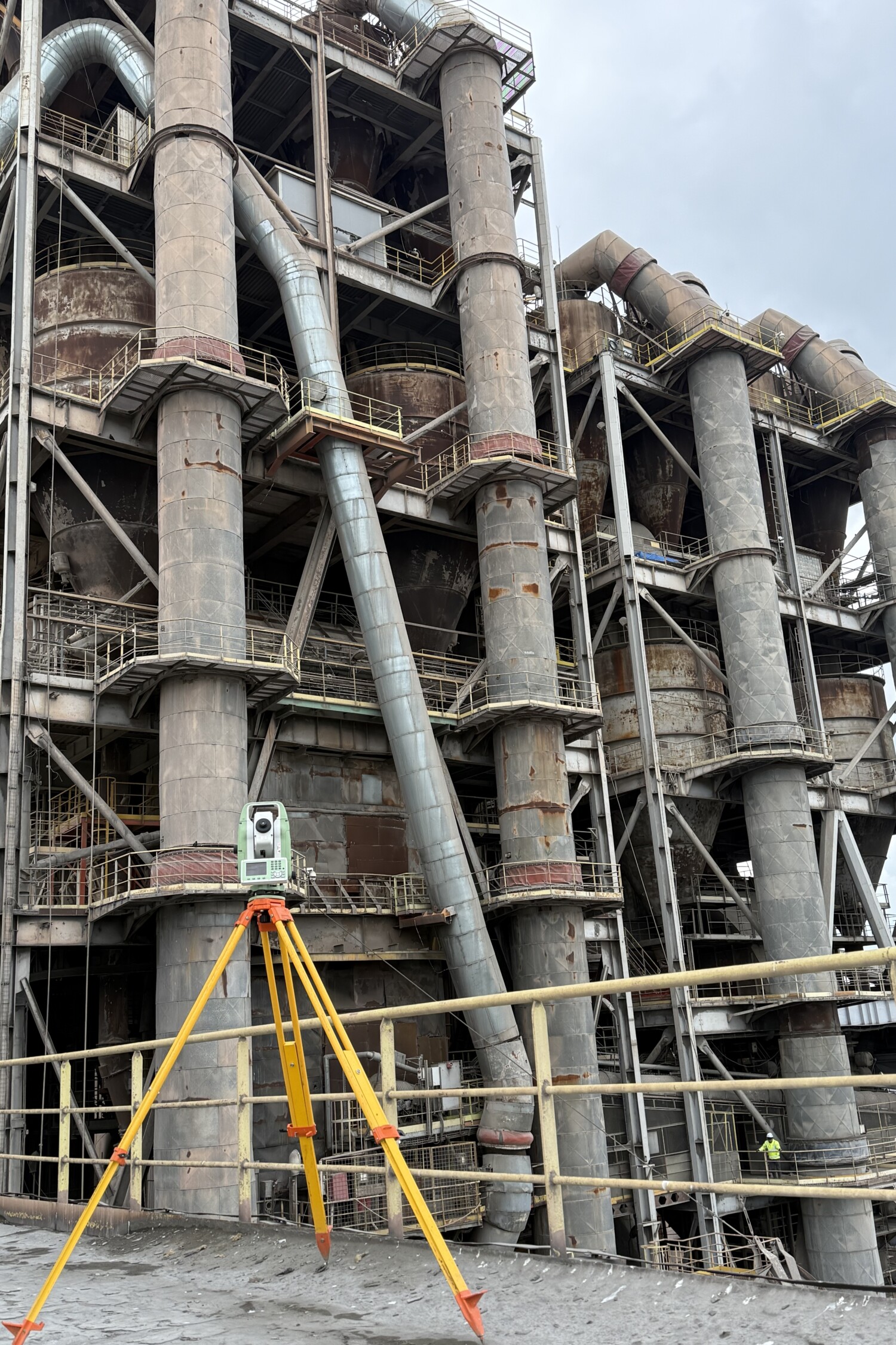
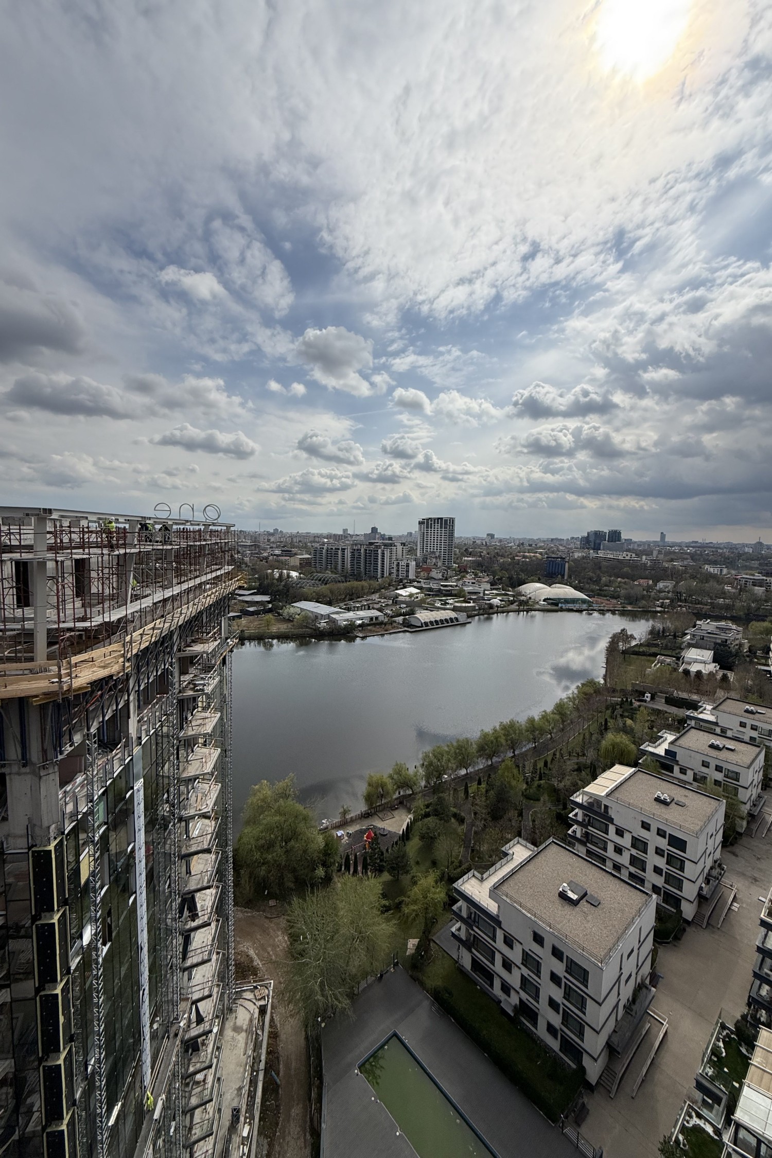
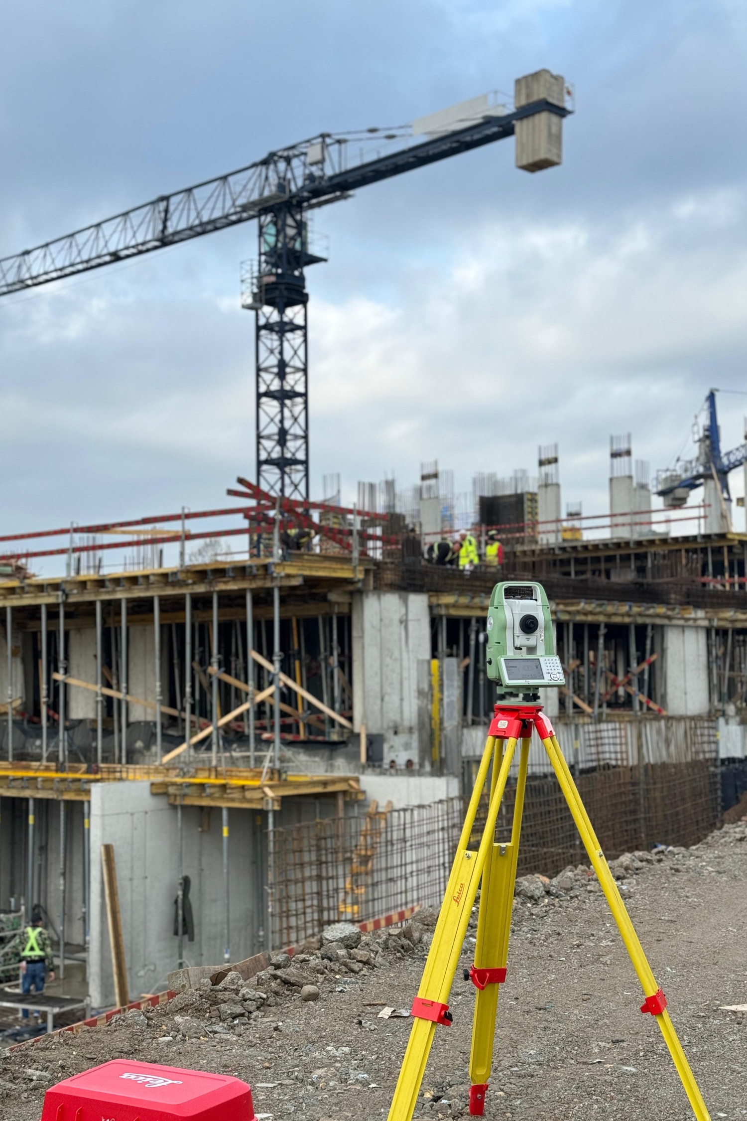
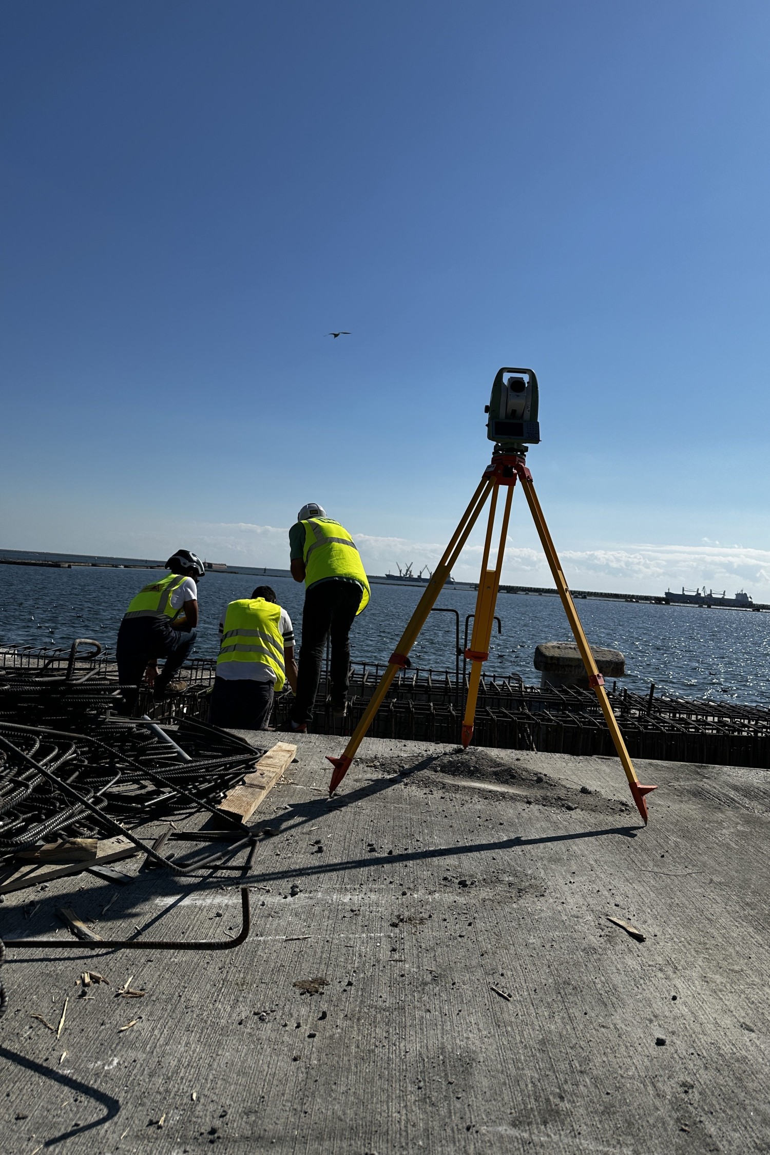
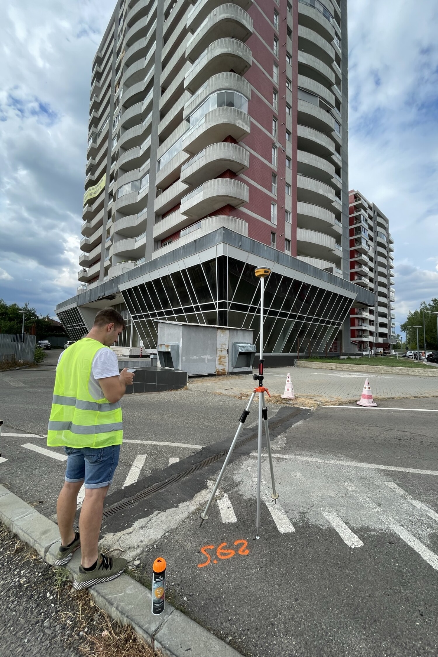
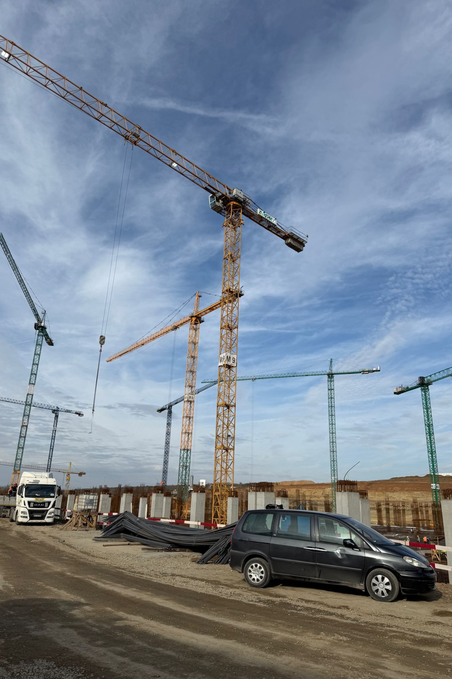
The foundation of every successful project starts with a quality topographic survey. We carry out detailed measurements, tailored to the terrain and the specific technical requirements of each site – from congested urban areas to industrial, agricultural or rugged terrain. We use modern equipment (total stations, GPS Base-Rover, drones) and state-of-the-art technologies to provide accurate topographic plans needed in the design, permitting or execution phases. Each survey is carried out with rigor and attention to detail, guaranteeing reliable and compliant data.
When do you need a topographic survey?
Surveying is not just a bureaucratic step – it is essential to avoid costly errors in design and execution. Through accurate measurements and detailed graphical representations of the terrain, architects, engineers and builders can base sound decisions, preventing risks and optimizing construction costs. We provide complete data on the shape of the land, property boundaries, existing natural and man-made features, and detailed elevations. We work closely with the design teams to ensure continuity of information between the terrain and the technical documentation


Consultation and requirements setting
We analyze your needs, discuss the details of the project and define the technical goals together. A clear approach from the start ensures accurate results.
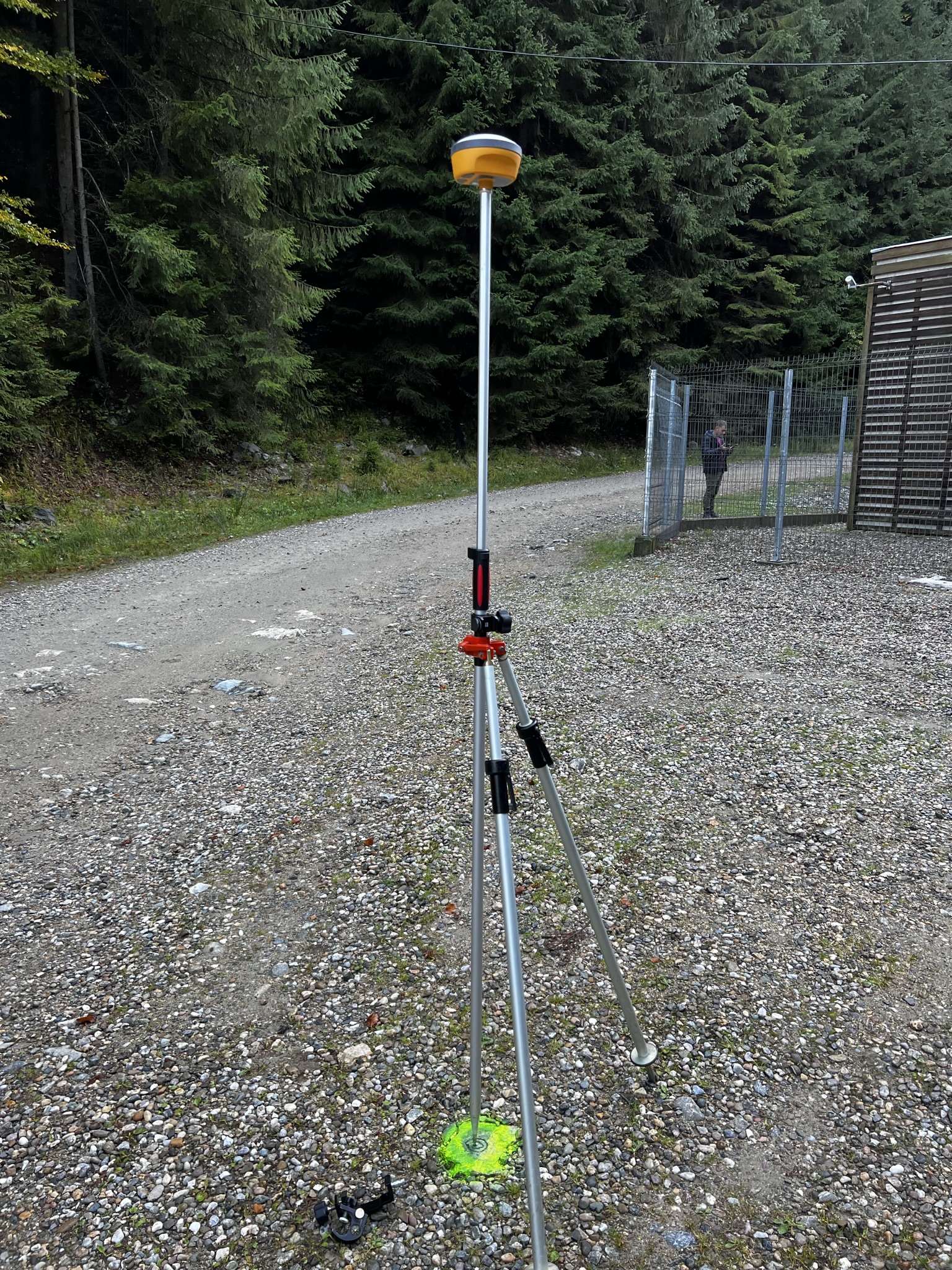
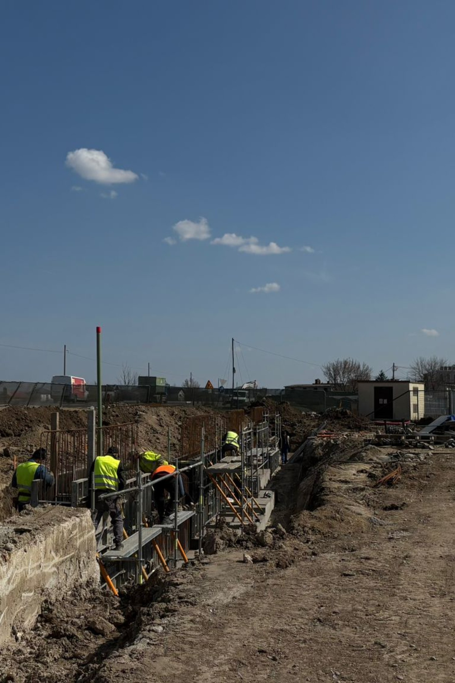
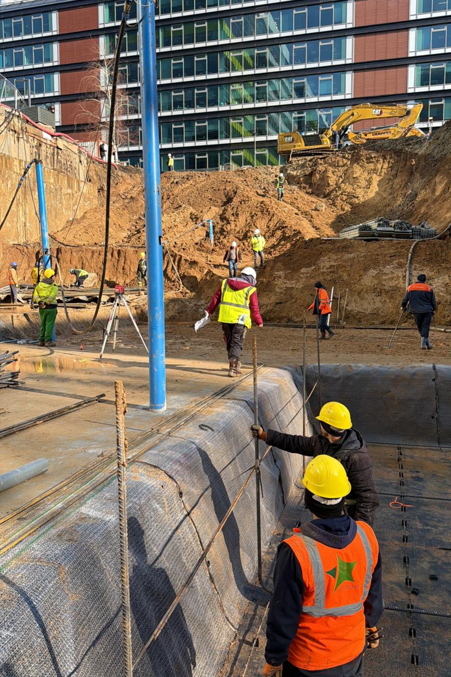
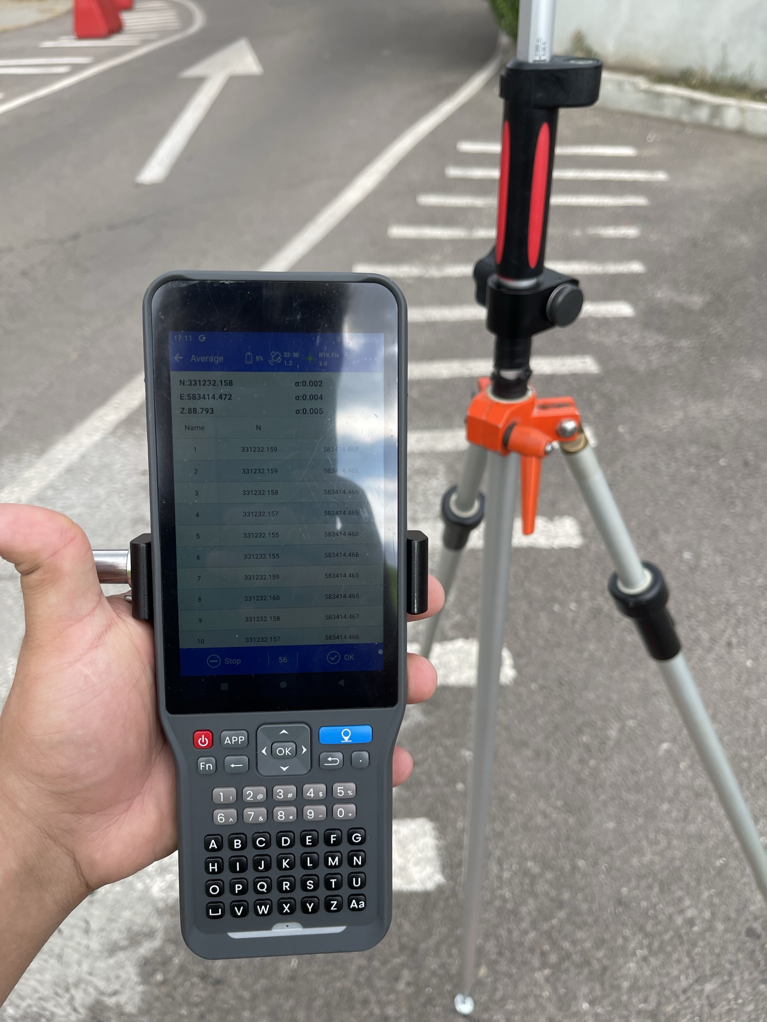
Picking up data in the field
Our team carries out precise measurements using modern equipment, adapted to each type of terrain and technical context.
Processing and delivering results
We process the collected data and generate compliant plans, models and reports ready for use in design or permitting.
Why Maptrix?
Because precision is not optional. It’s our standard. We’re more than a service provider – we’re a trusted technical partner in your projects. With extensive experience in surveying and cadastral measurements, we bring the perfect combination of advanced technology, applied knowledge and respect for deadlines and details to every job. We use modern equipment (GNSS, total stations, drones), work with fast digital workflows and comply with all current legal and technical requirements. But most importantly, we understand the realities on the ground and deliver tailored solutions – whether you’re working in a busy city, a rural area or a complex infrastructure construction site. Clients choose us for our reliability, clear communication, flexibility and results they can rely on.
They trust us