Drawings
Accurate positioning of buildings starts with proper tracing
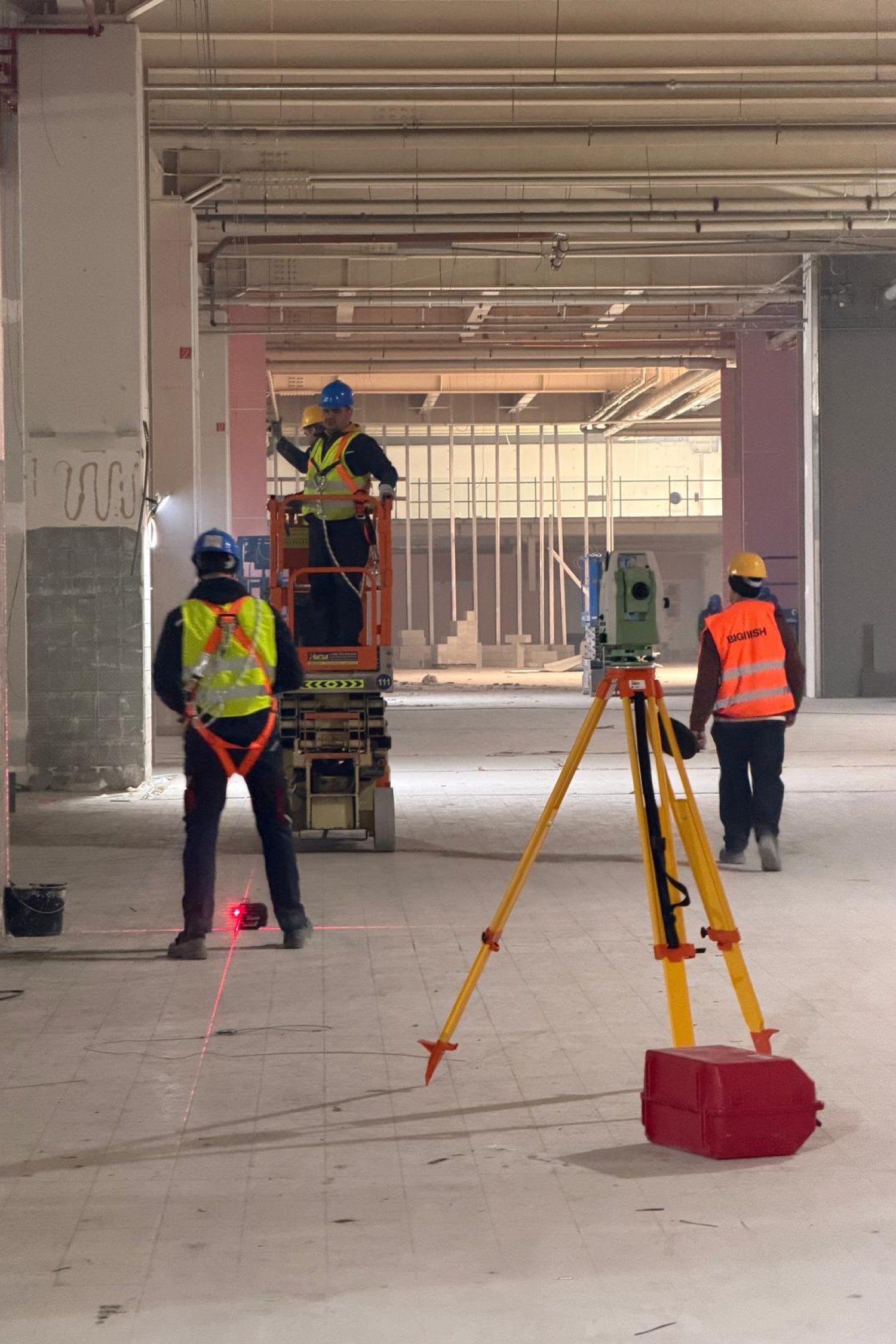
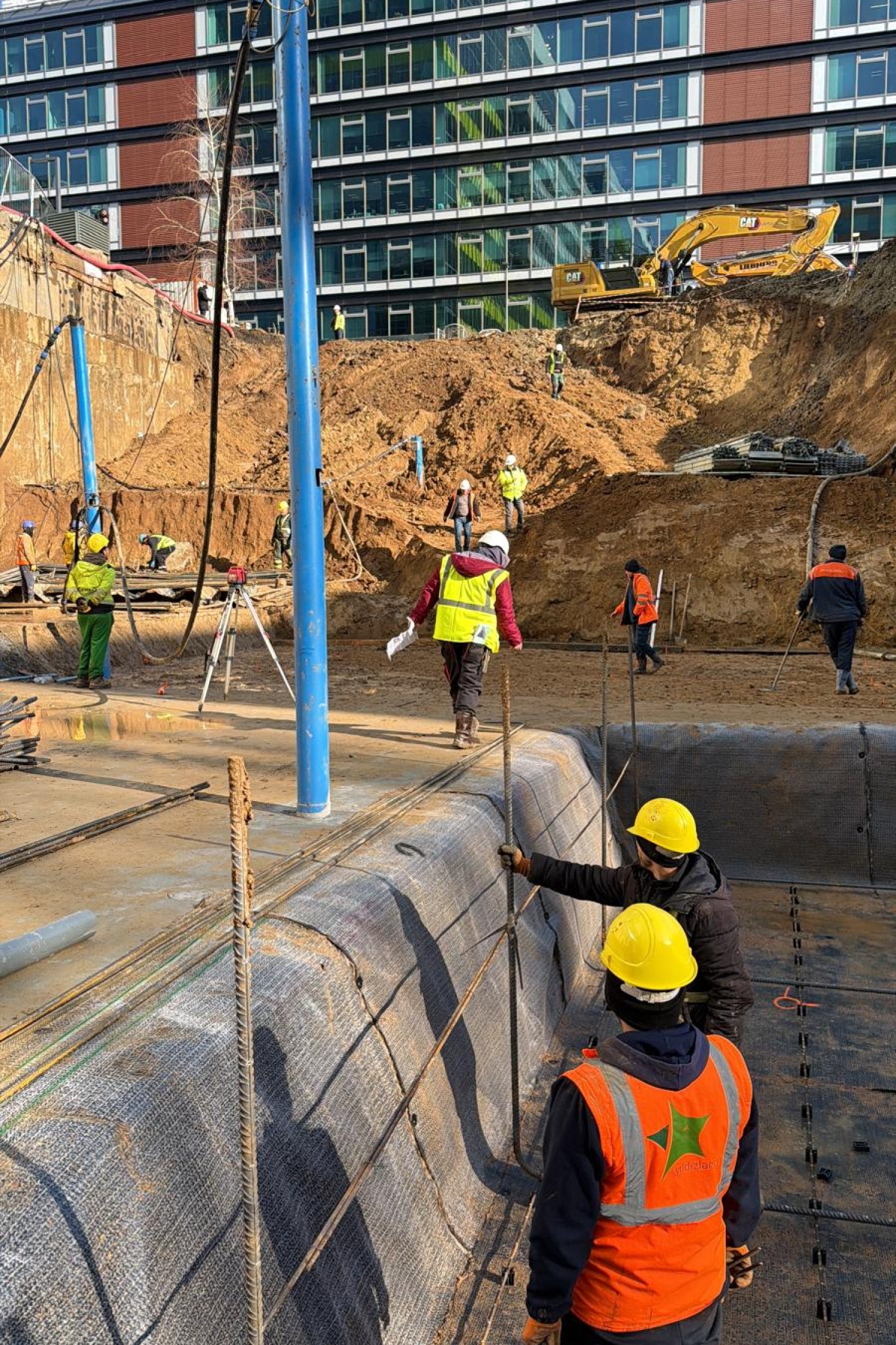
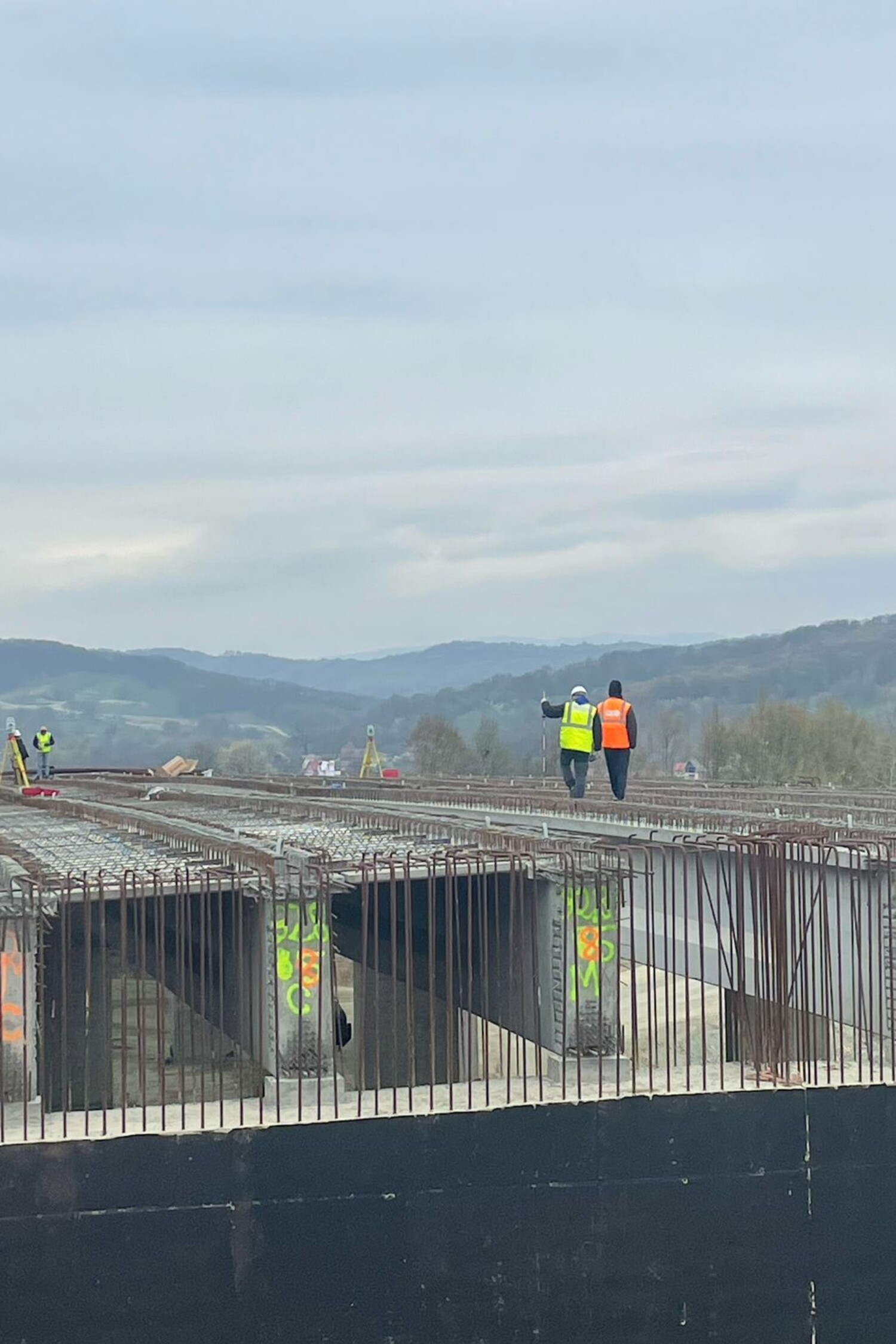
The layout is one of the critical steps in putting a construction project into operation. It is the translation on the ground of the coordinates and elements defined in the design plans. Without an accurate layout, the risk of deviations, non-conformities or loss of time and money increases considerably.
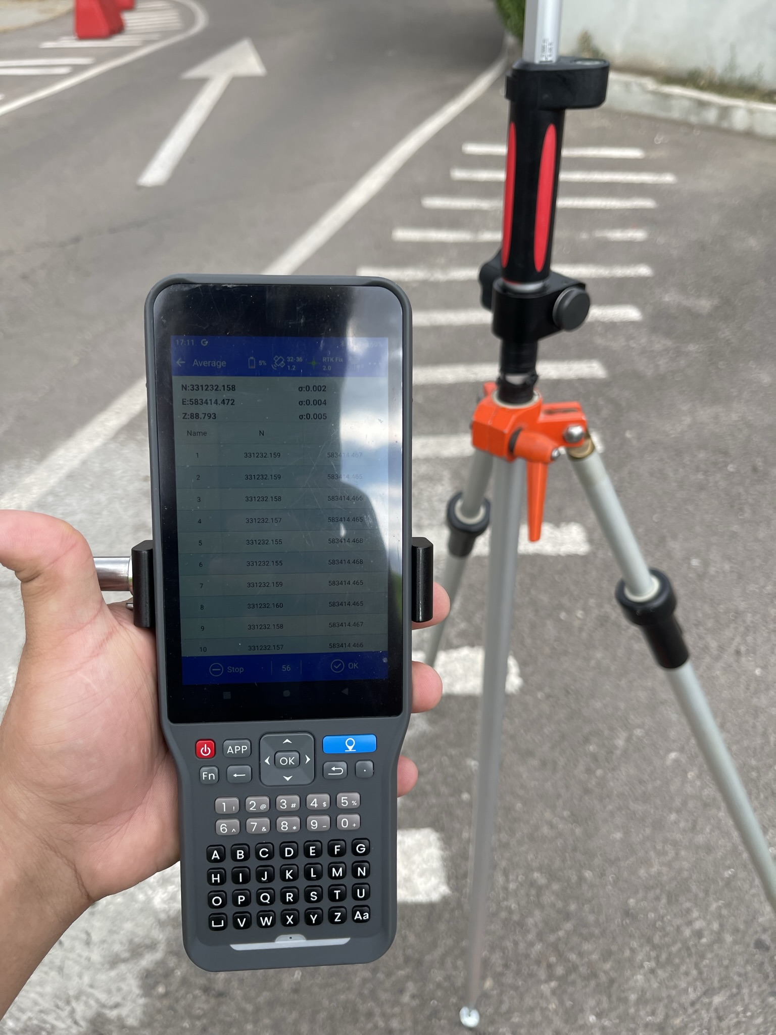
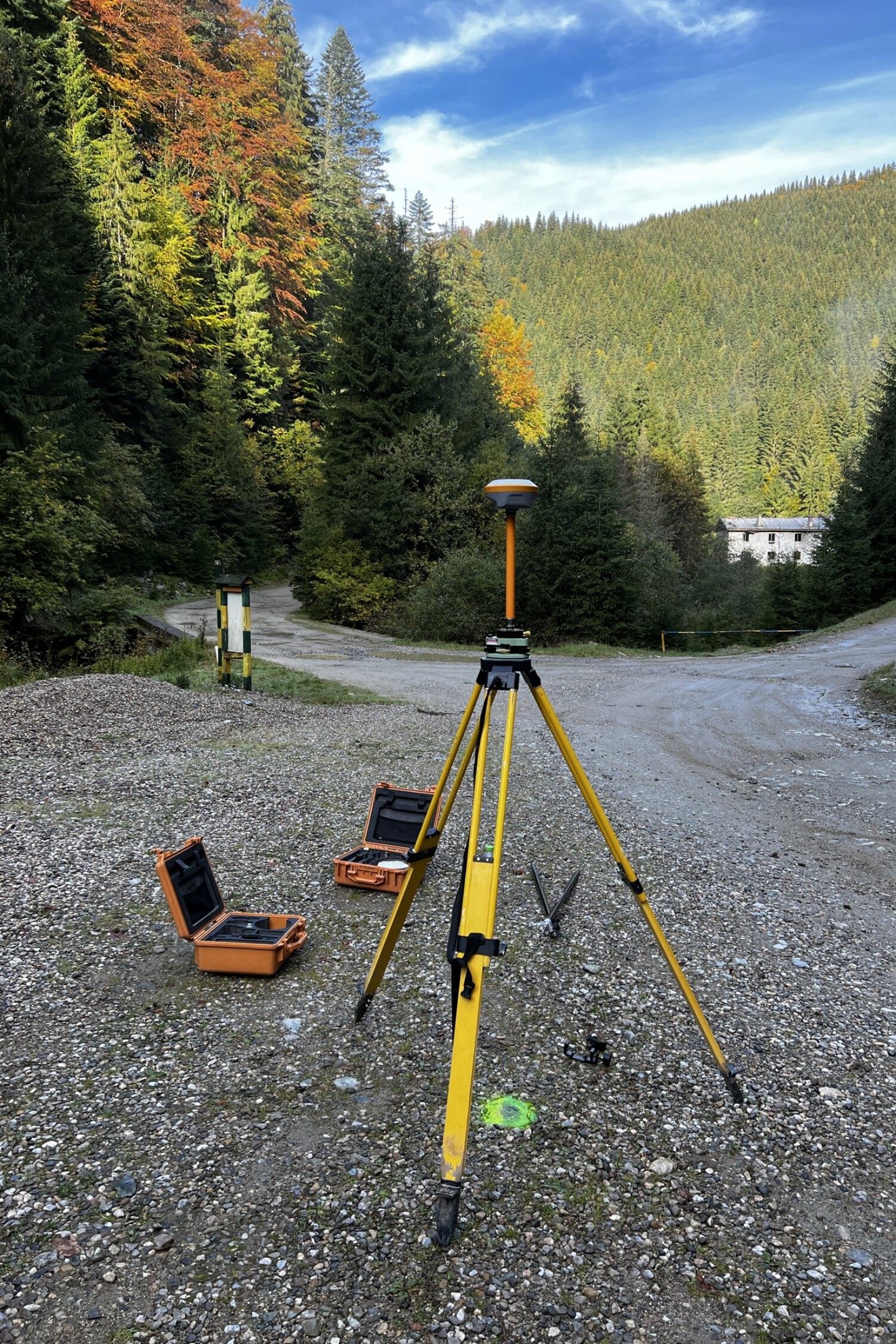
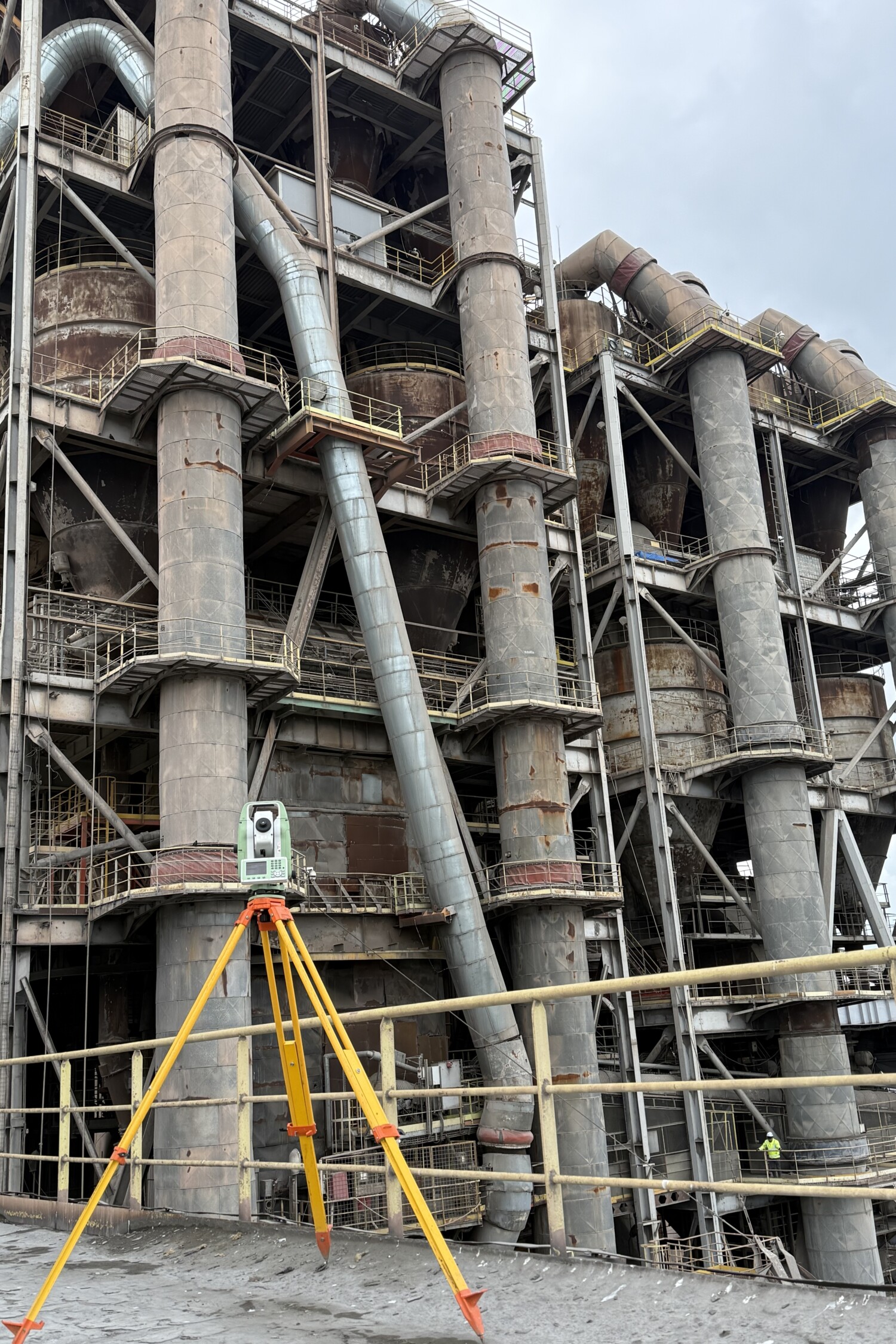
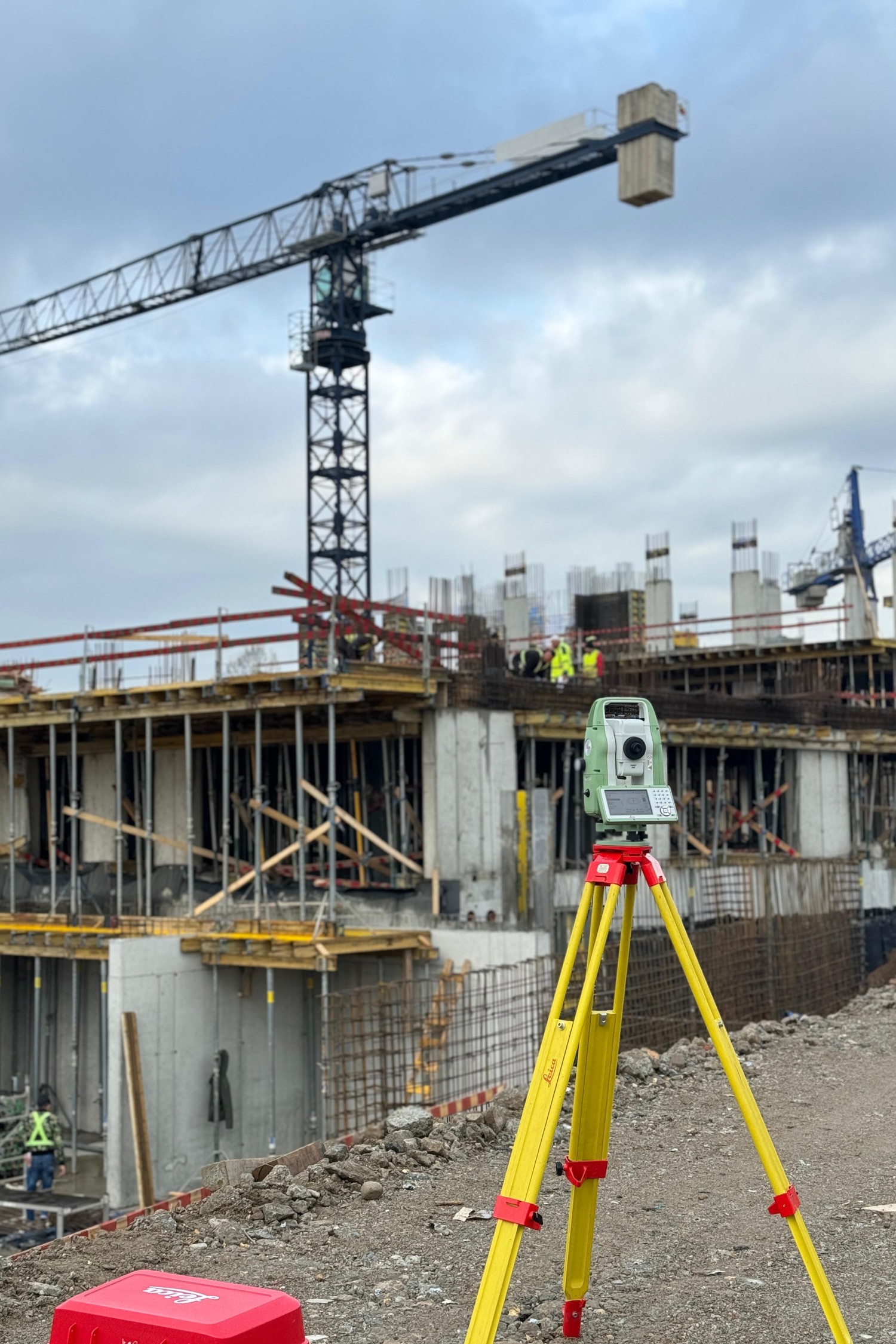
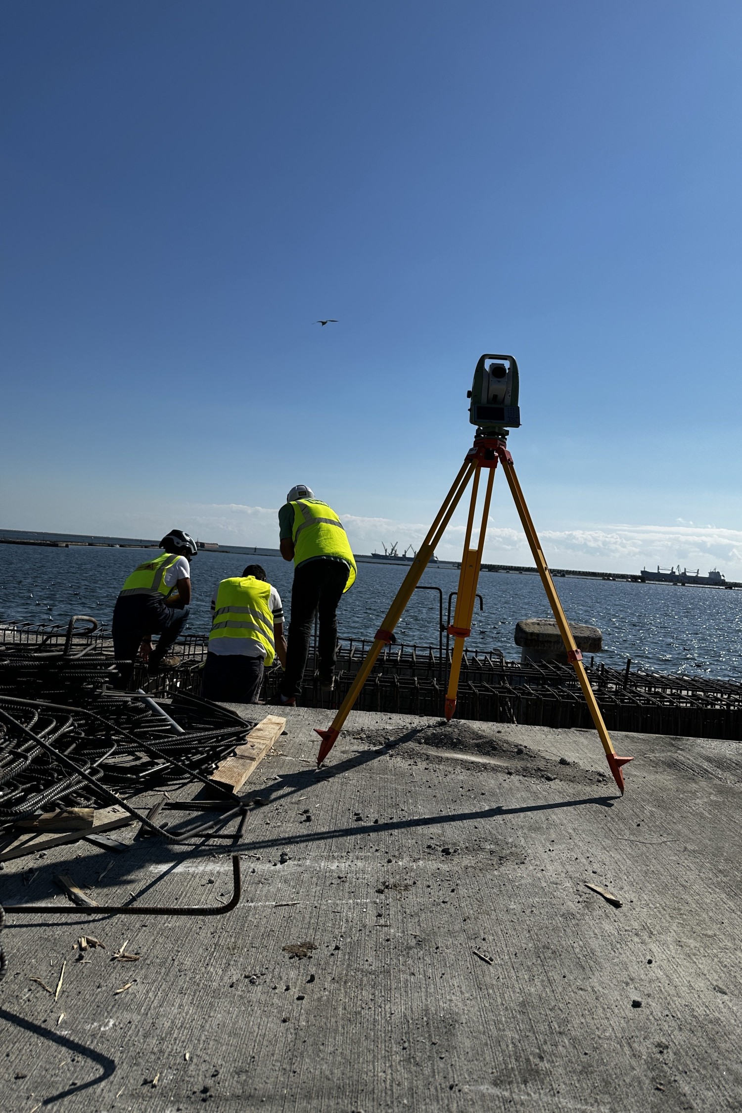
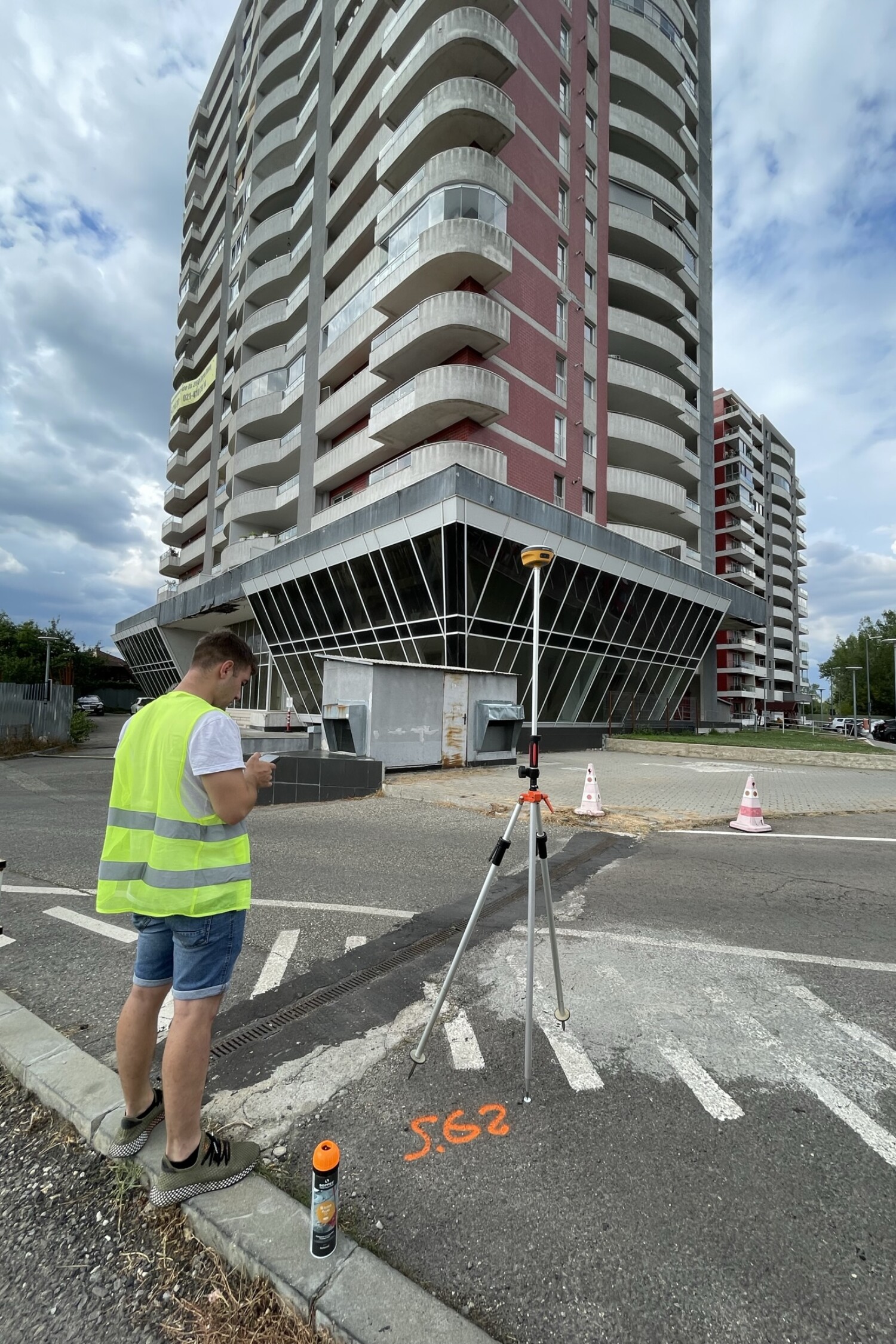
Whether it’s foundations, walls, roads, utilities or property boundaries, surveying involves accurately marking axes, corner points, elevations and alignments directly in the field. Our team uses modern equipment – high-precision total stations and GNSS systems – to achieve fast, reliable and technically compliant surveying.
We adapt to real site conditions and provide direct advice at the time of execution, so that the work strictly adheres to the project plans.

Total control over execution - starting with the first steps
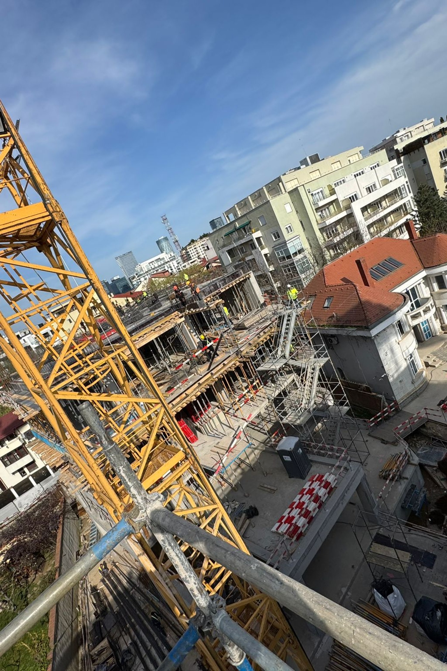
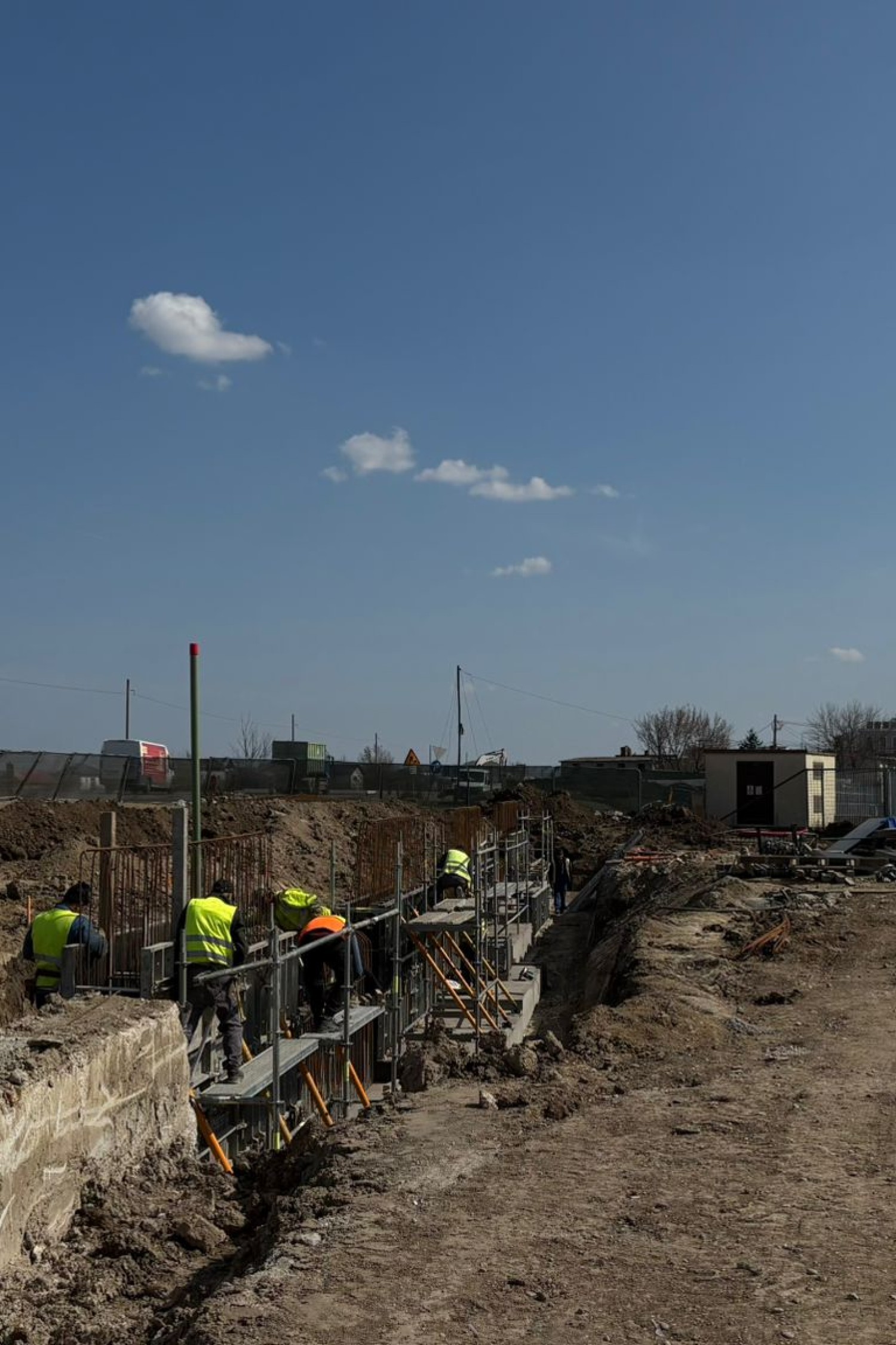
Proper mapping is not just about measurements – it’s also about planning, communicating and controlling each step of the work. Before the actual execution, we talk with the design team and site manager to understand all the critical details. We then rigorously mark out the construction elements in the field, using methods adapted to the type of work: spray marks, nails, laser marks or geodesic markers.
We also carry out checks or re-tracing in the event of changes on site, as well as dimensioning and leveling where the project requires it. We constantly communicate with the client to deliver a complete and reliable service in line with construction quality standards


Execution without deviations
Our routings precisely follow the technical design, reducing the risk of errors or rework.
Fast and flexible intervention
We’re on site when you need us – even for last-minute adaptations or modifications.
Professional equipment, reliable results
We use state-of-the-art GNSS and total stations, constantly calibrated and verified.
Why Maptrix?
Because precision is not optional. It’s our standard.
We’re more than a service provider – we’re a trusted technical partner in your projects. With extensive experience in surveying and cadastral surveying, we bring the perfect combination of advanced technology, applied knowledge, and respect for deadlines and details to every job.
We use modern equipment (GNSS, total stations, drones), work with fast digital workflows and comply with all current legal and technical requirements. But most importantly, we understand the realities on the ground and provide tailored solutions – whether you’re working in a busy city, a rural area or a complex infrastructure construction site.
Clients choose us for reliability, clear communication, flexibility and results they can rely on.

They trust us