Systematic craster
Full and free registration for entire communities
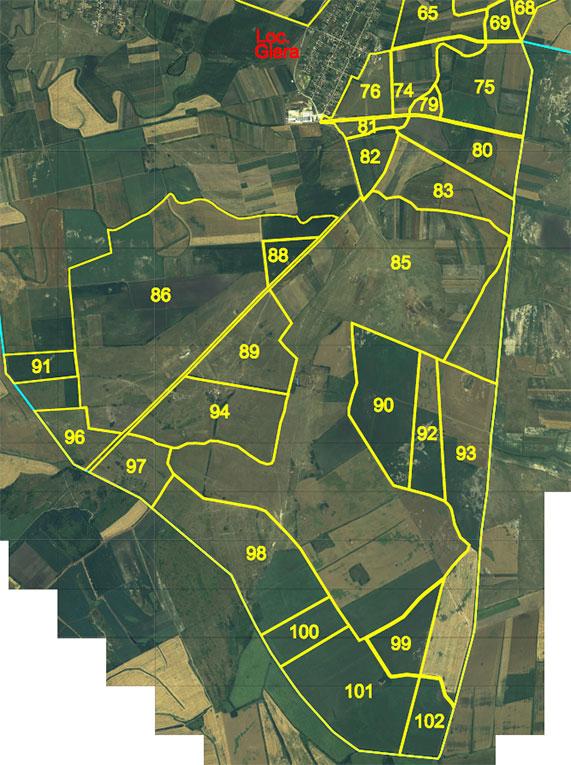
Systematic cadastre is the process of free registration of all real estate (land and buildings) in an administrative-territorial unit, with the aim of creating a clear and up-to-date record at national level. It is carried out in partnership with the local authorities and ANCPI and contributes to the modernization of the land registry system.
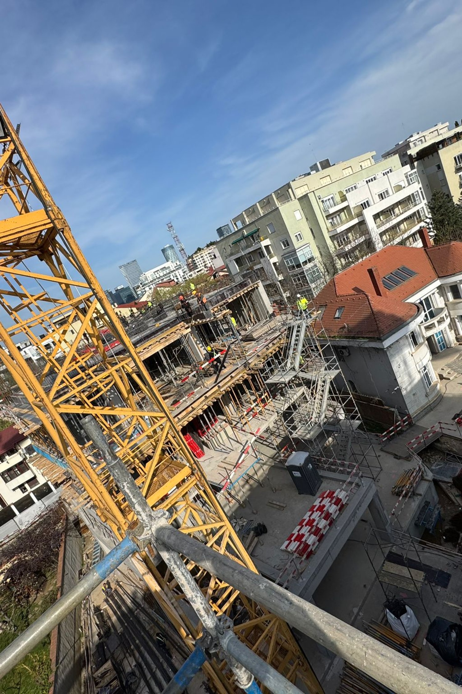
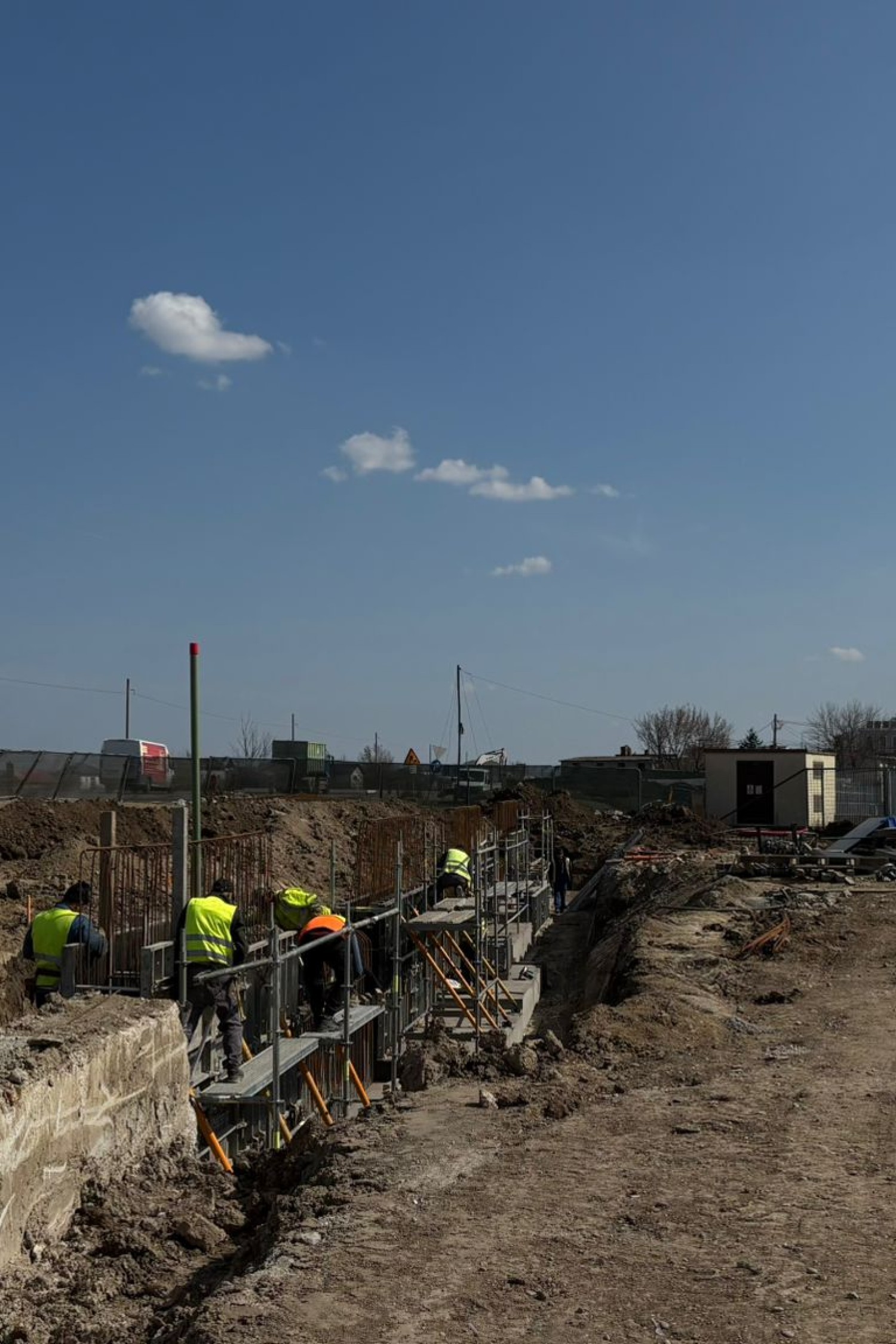
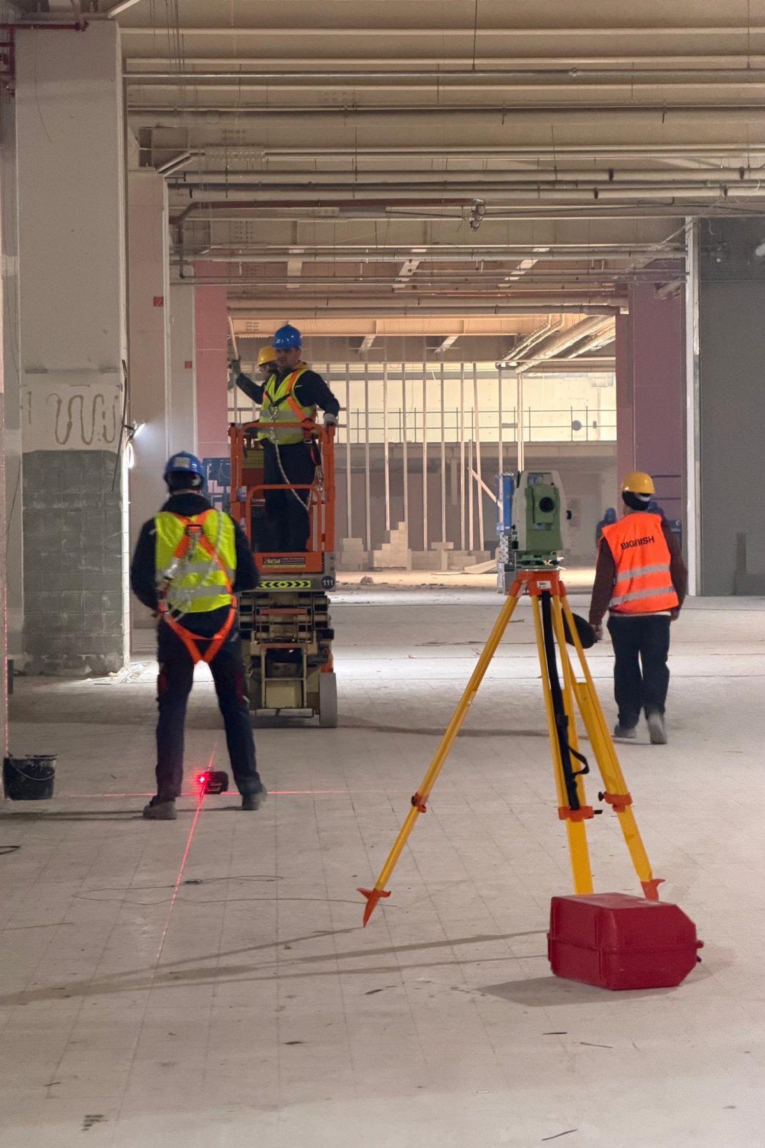
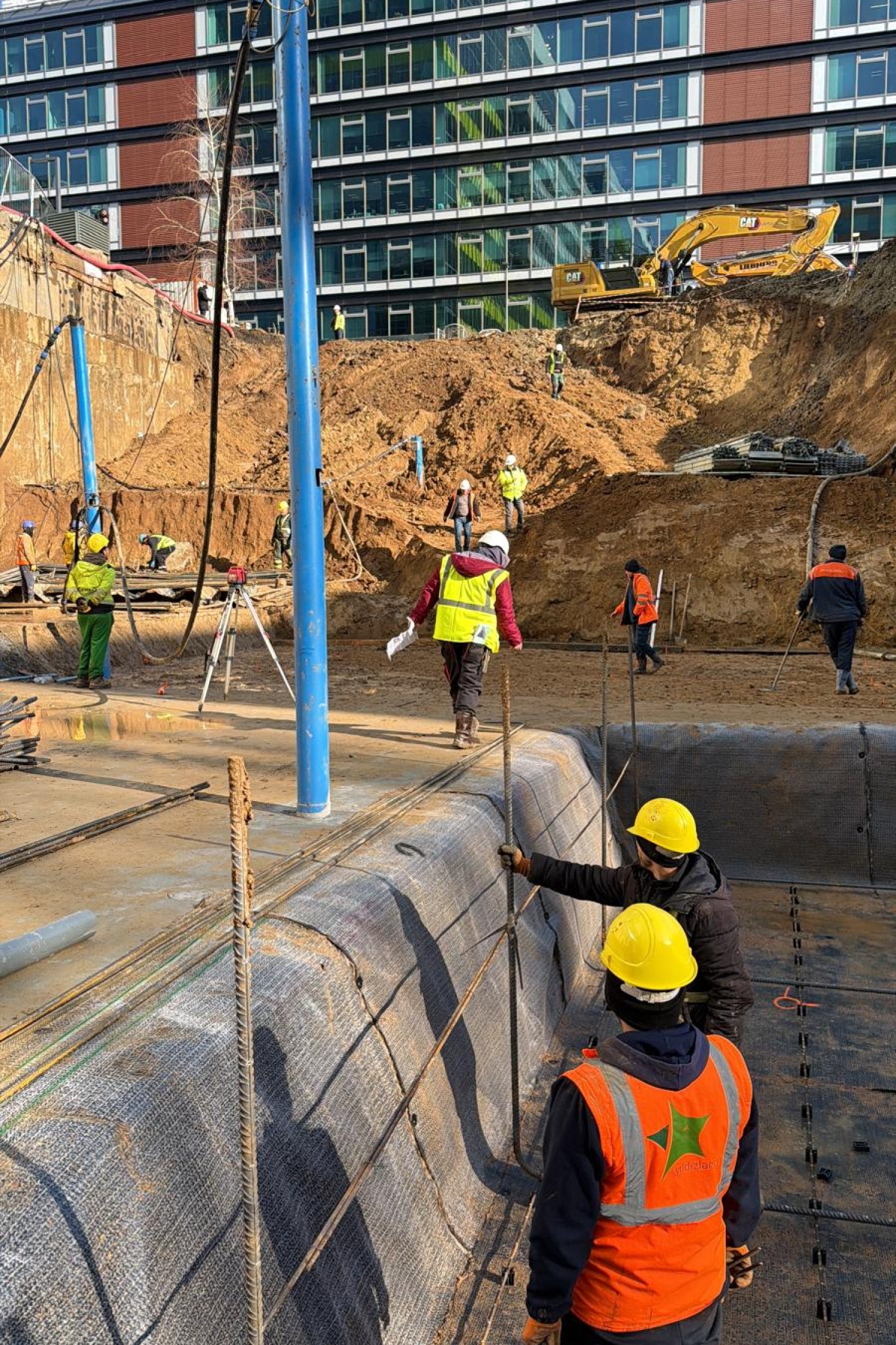
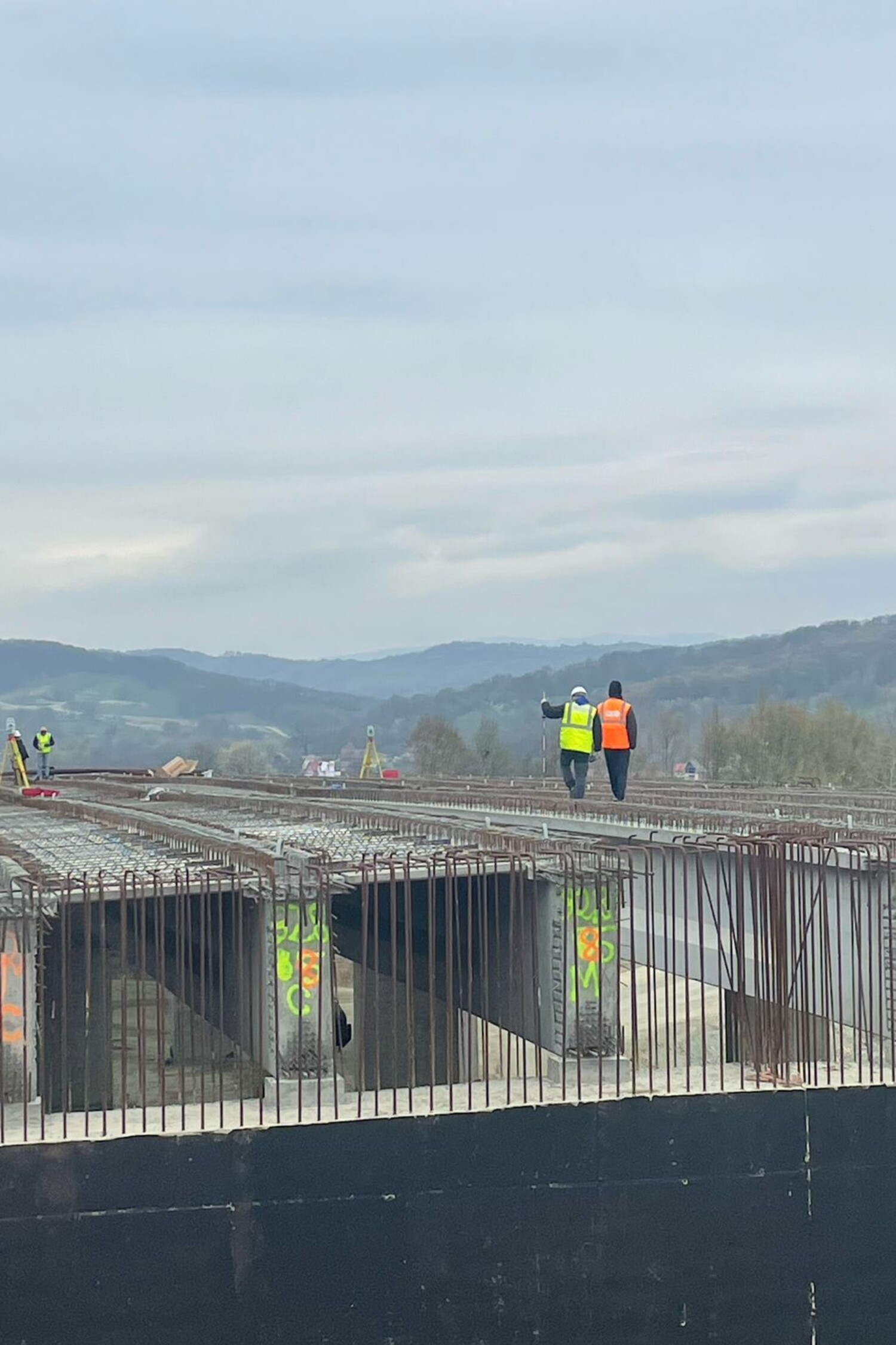
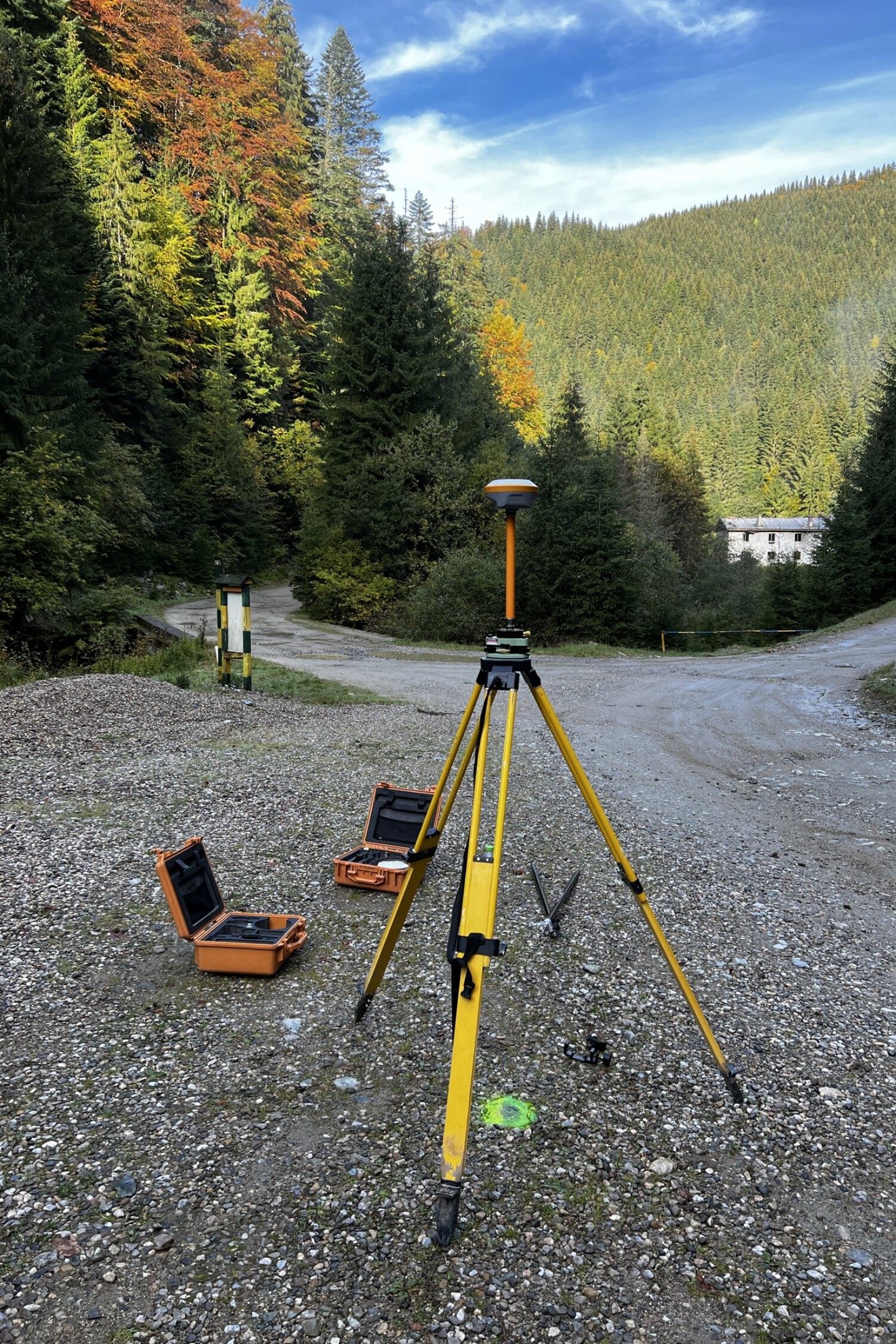
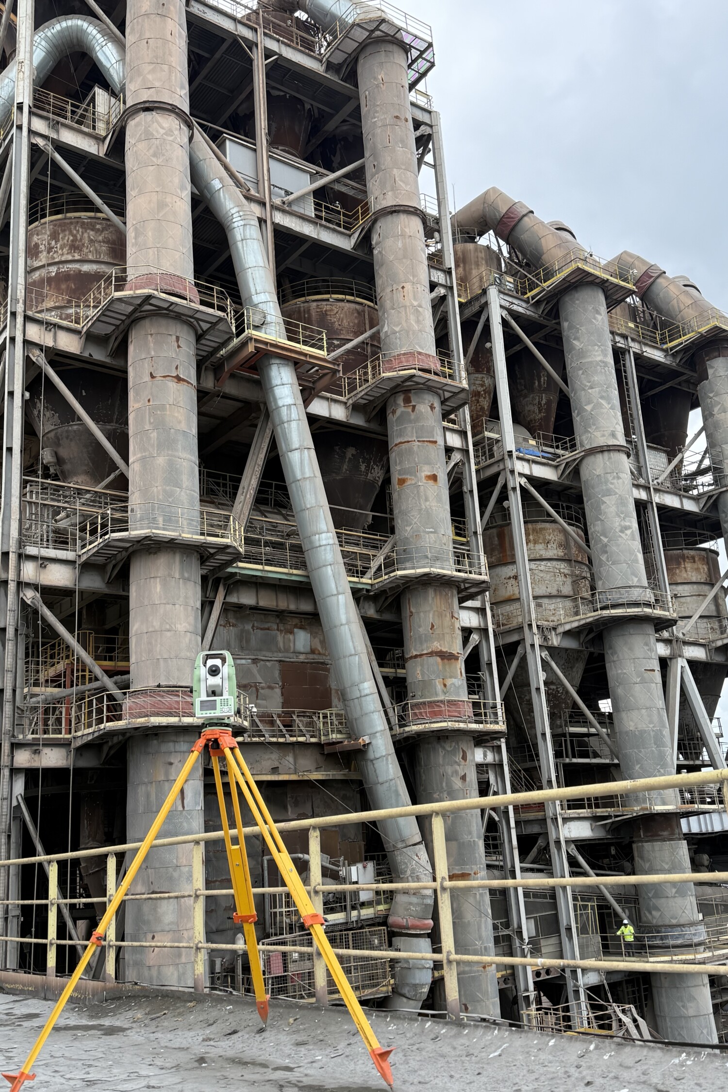
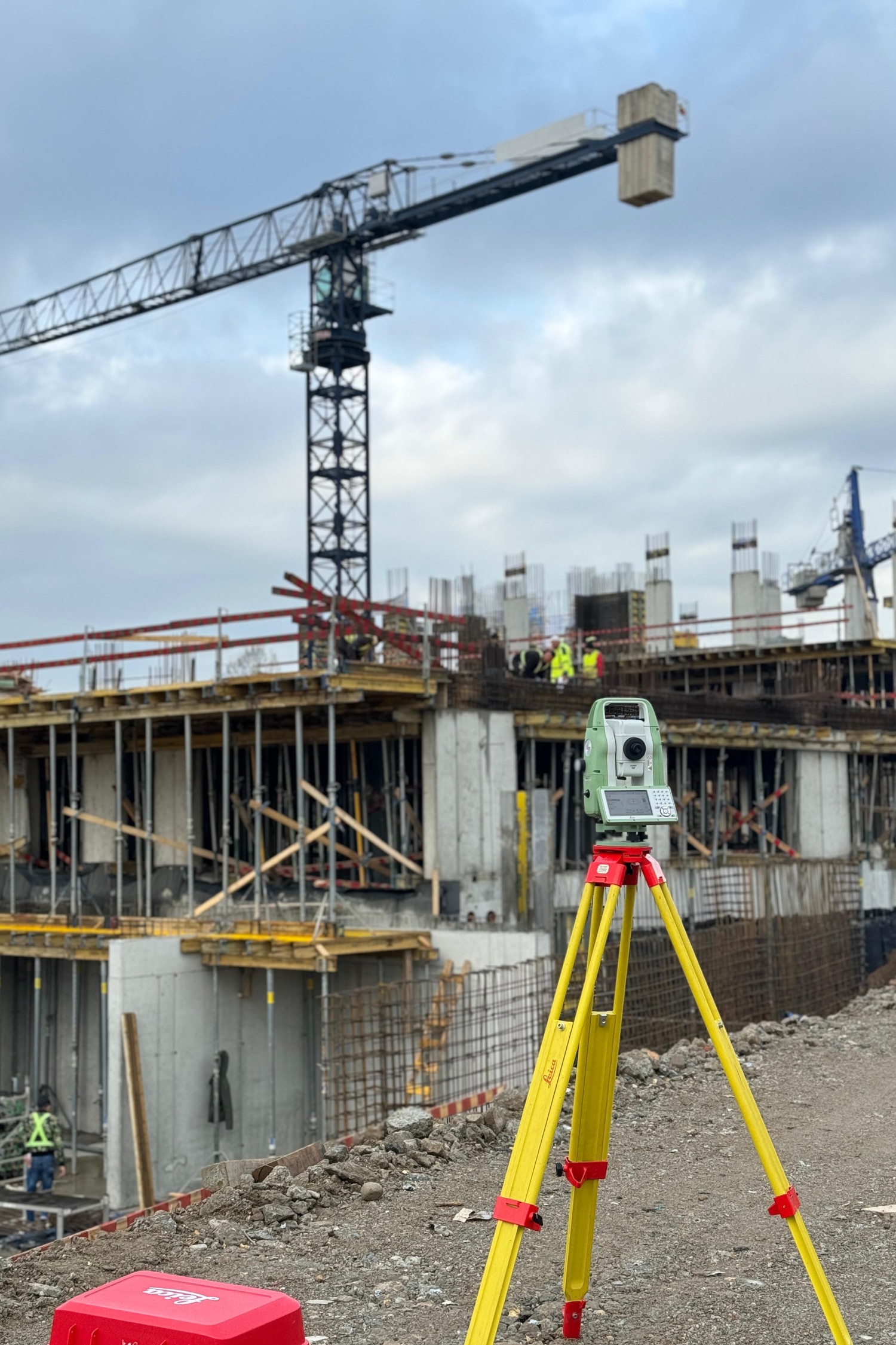
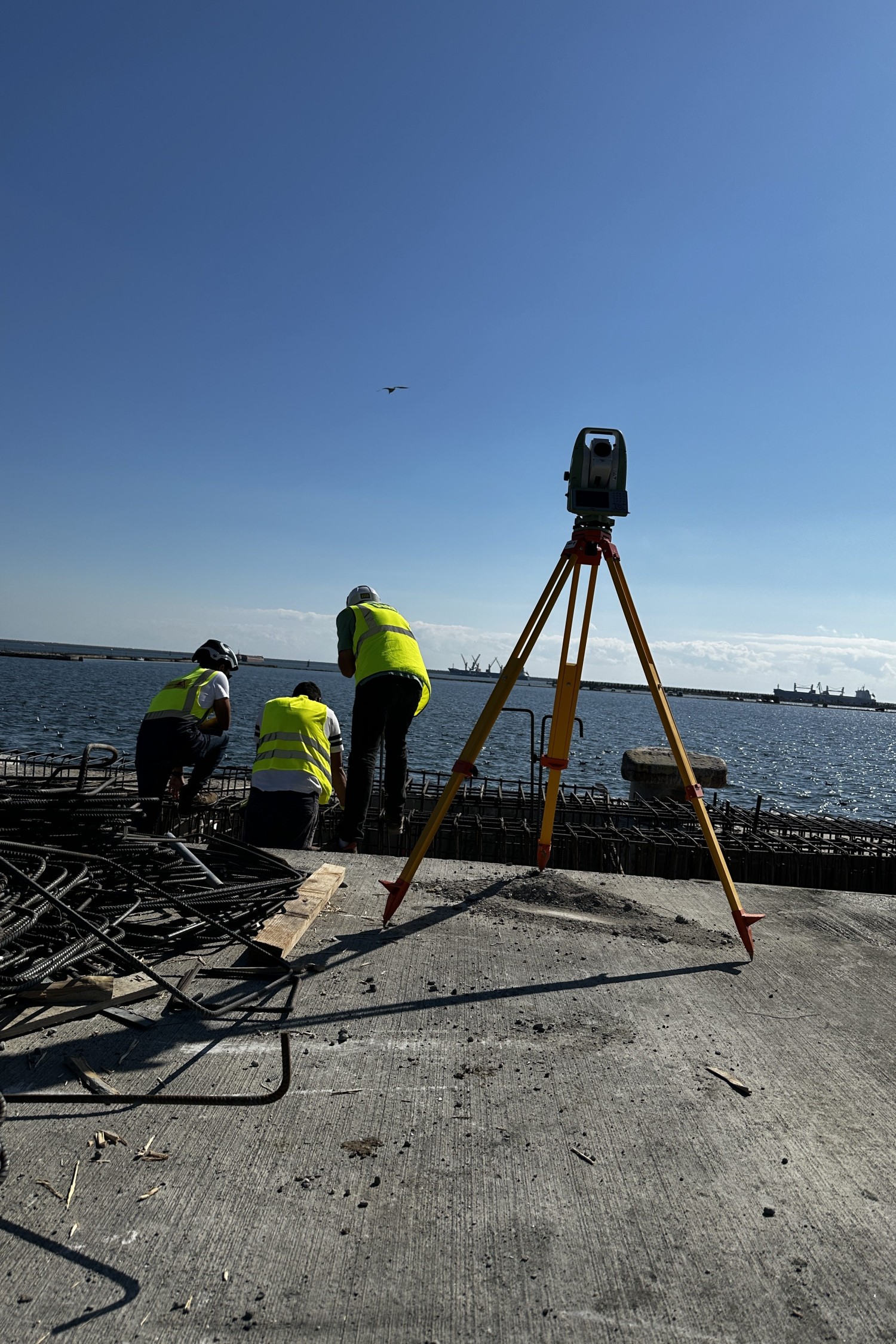
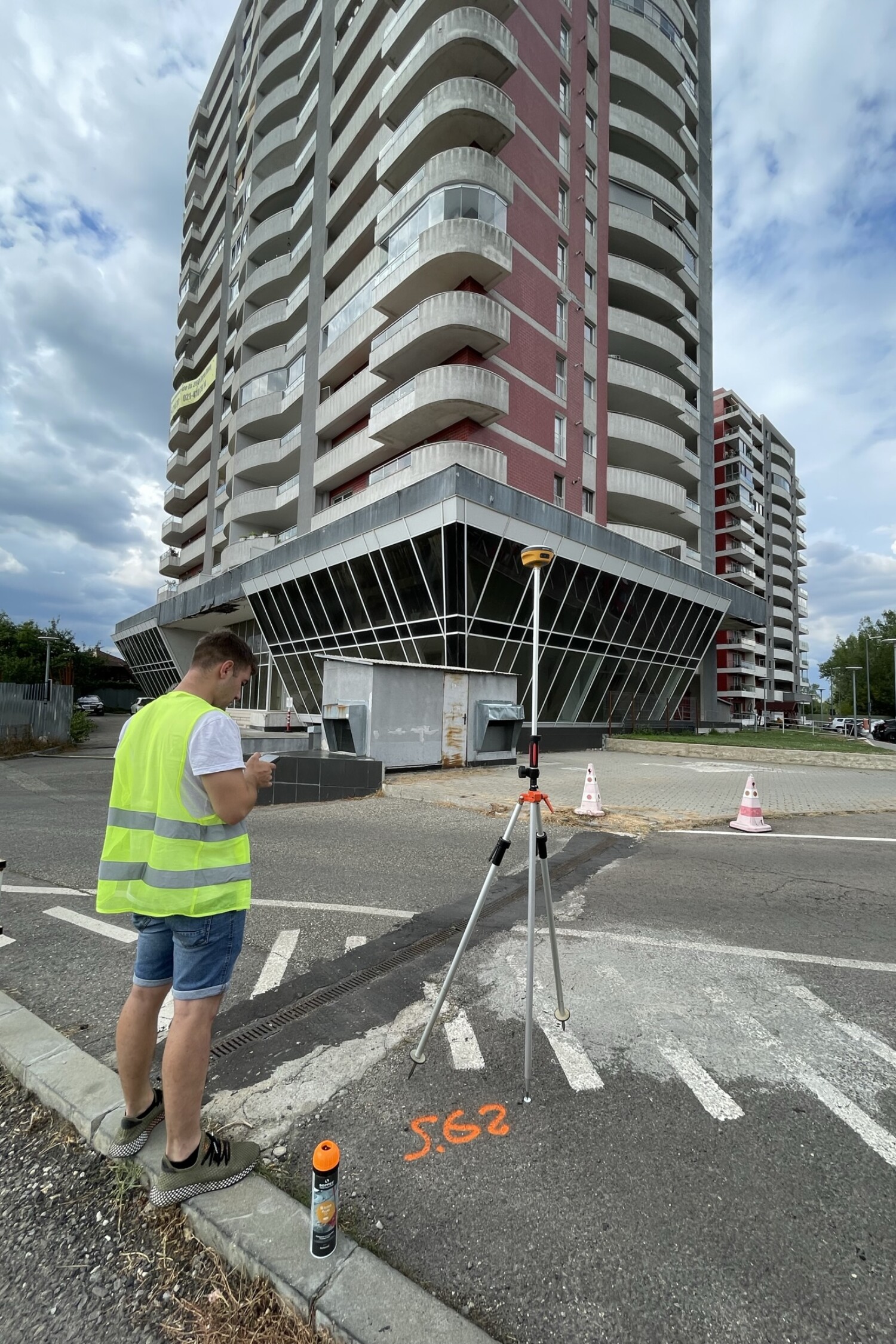
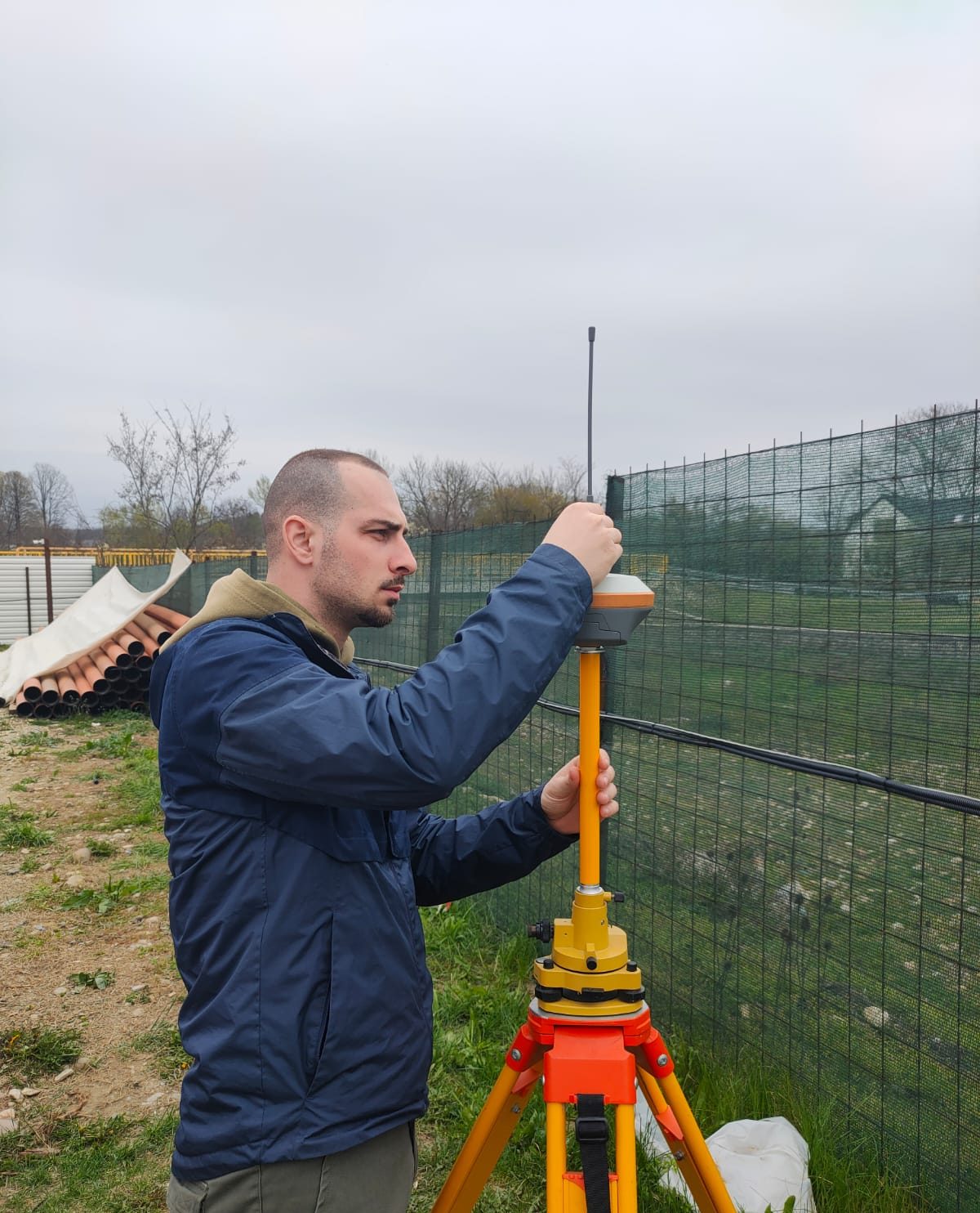
Our team has experience in managing large-scale systematic cadastre works, covering both urban and rural areas. We take care of all stages – identification of properties in the field, measurements with GNSS equipment and total stations, collection of documents from owners, preparation of cadastral documentation and uploading data into the eTerra system.

An essential step towards development and access to funds
The completion of the systematic cadastre clarifies the legal situation of land, reduces disputes and creates the conditions for sustainable development. Infrastructure projects, investments and access to European funds become possible only on land correctly registered in the land register.
We work transparently, in cooperation with the municipalities and ANCPI, ensuring effective communication with citizens and meeting deadlines. The completion of the works comes with direct benefits for the community and each owner.

Extensive coverage and efficient organization
We manage hundreds or thousands of properties simultaneously, with well-coordinated teams.
Integrated Digital Solutions
We utilize modern equipment and software for workflow automation.
Comprehensive support for authorities and citizens
We provide ongoing support for information, document collection and clarification of legal situations.
Why Maptrix?
Because precision is not optional. It’s our standard.
We’re more than a service provider – we’re a trusted technical partner in your projects. With extensive experience in surveying and cadastral surveying, we bring the perfect combination of advanced technology, applied knowledge, and respect for deadlines and details to every job.
We use modern equipment (GNSS, total stations, drones), work with fast digital workflows and comply with all current legal and technical requirements. But most importantly, we understand the realities on the ground and provide tailored solutions – whether you’re working in a busy city, a rural area or a complex infrastructure construction site.
Clients choose us for reliability, clear communication, flexibility and results they can rely on.
They trust us