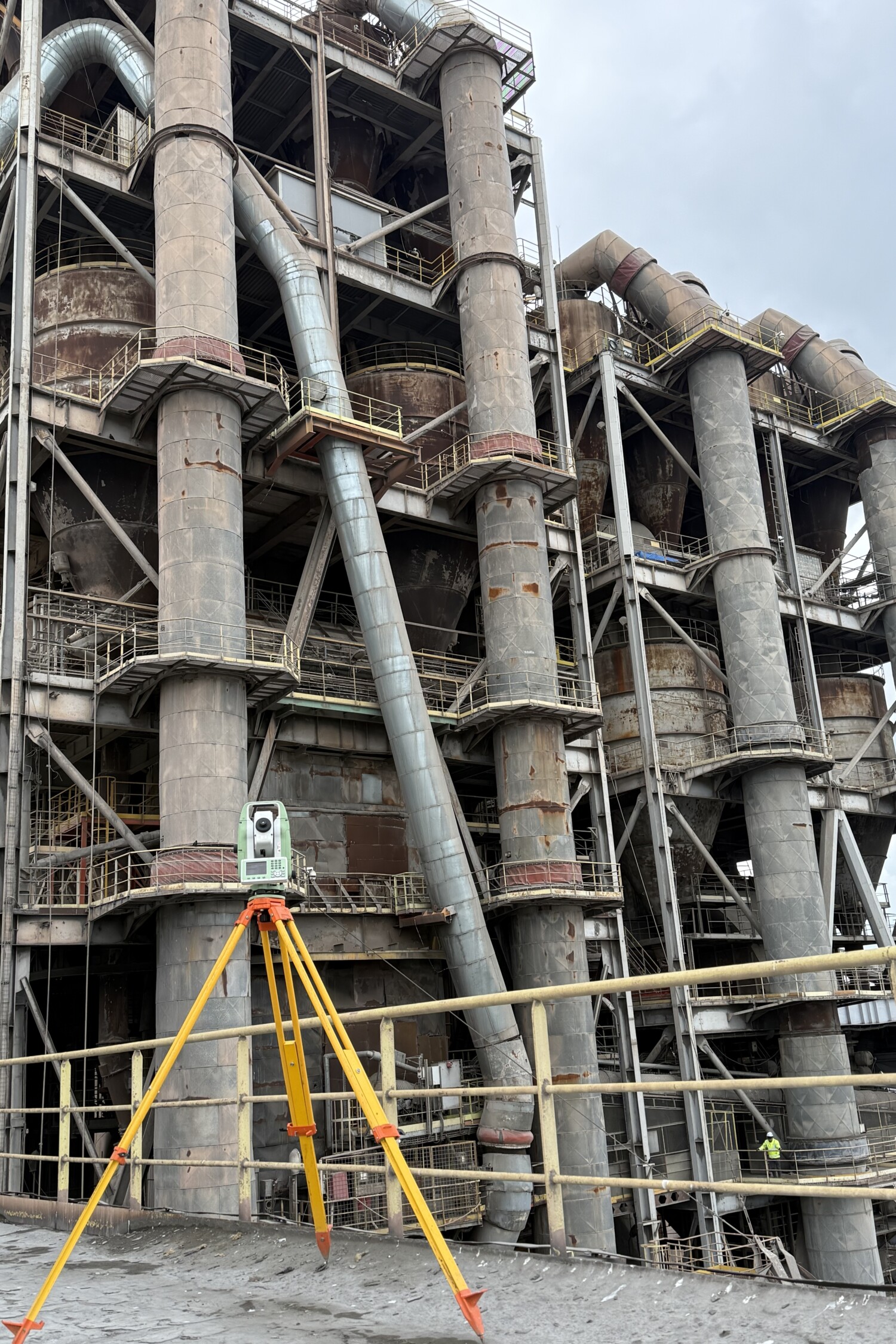
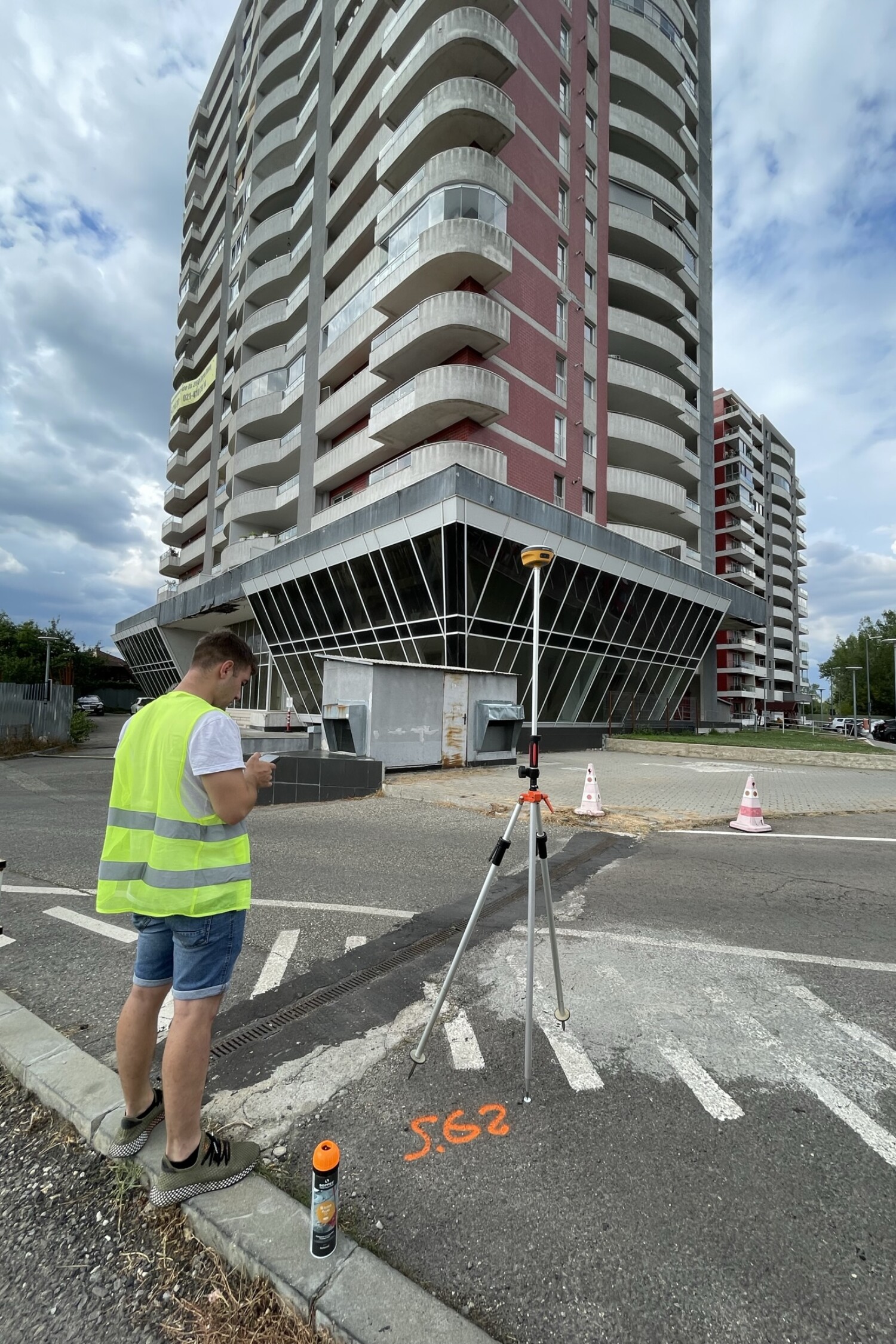
Levelment
Correct dimensions are the basis of a stable construction
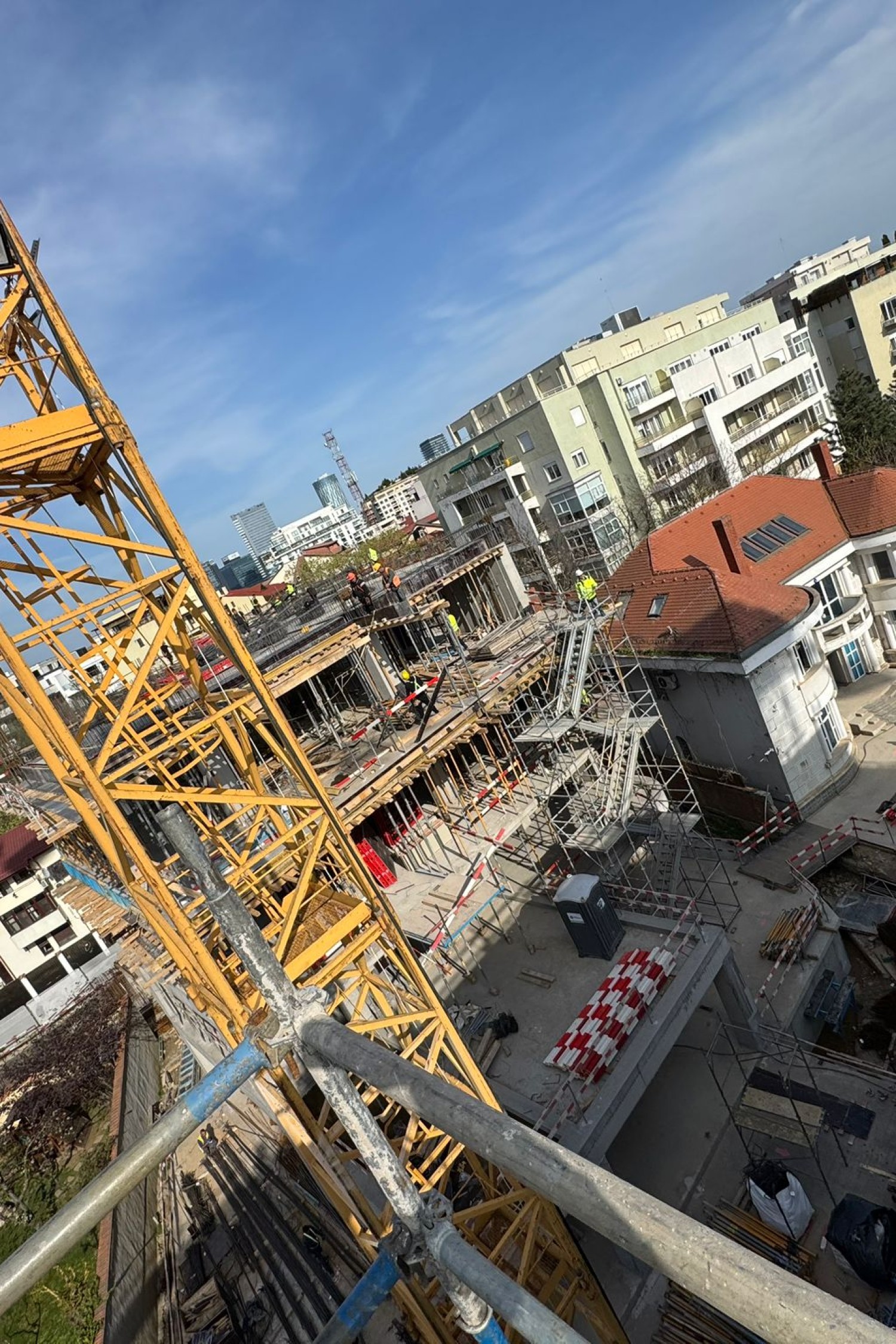
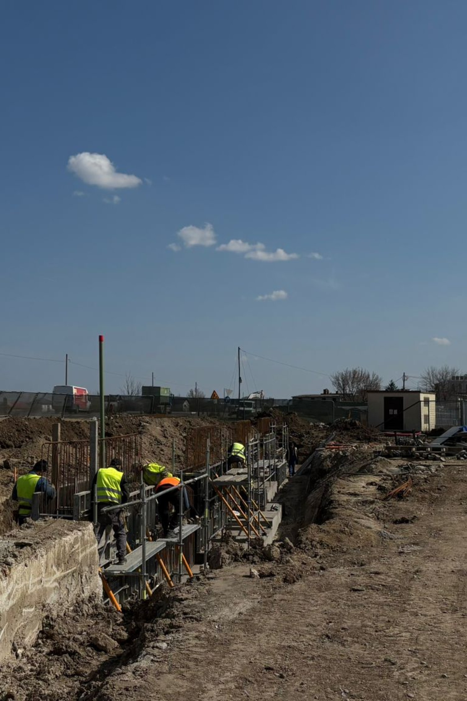
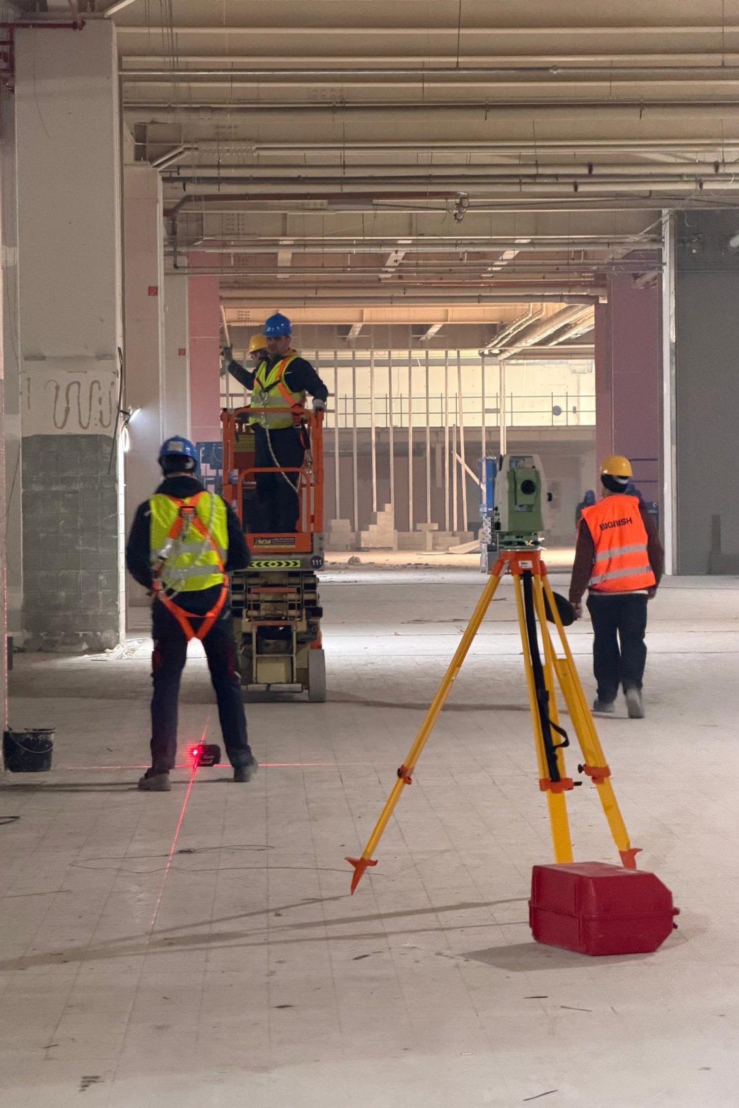
Leveling is the process of determining the differences in level between points on the surface of the terrain. In any construction project, accurate leveling is vital for foundations, platforms, drainage, roadways, and any work where gravity and flatness influence functionality and safety.
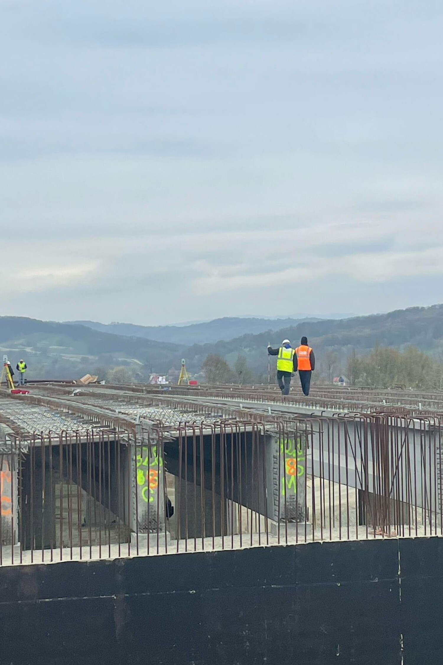
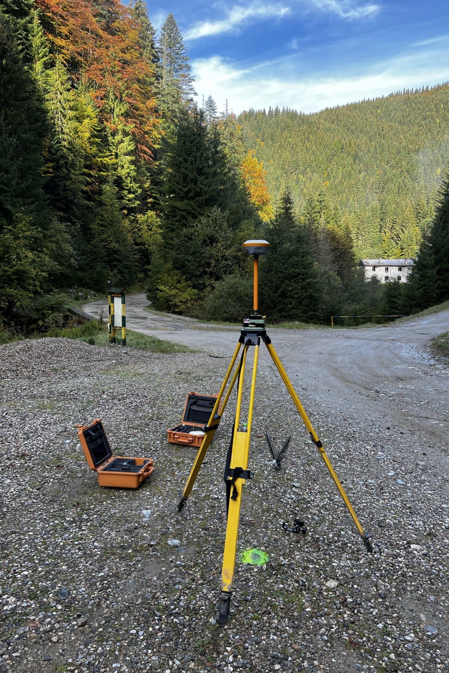
Using geometric, trigonometric or laser leveling methods, we carry out high-precision measurements, either at an early stage of the project or for checking work already carried out.
Our equipment – optical levels, digital levels or total stations – offer high accuracy, regardless of the conditions on the ground. The result? Clear, interpretable data, useful for both design and execution.


Leveling, the key to field control and proper execution
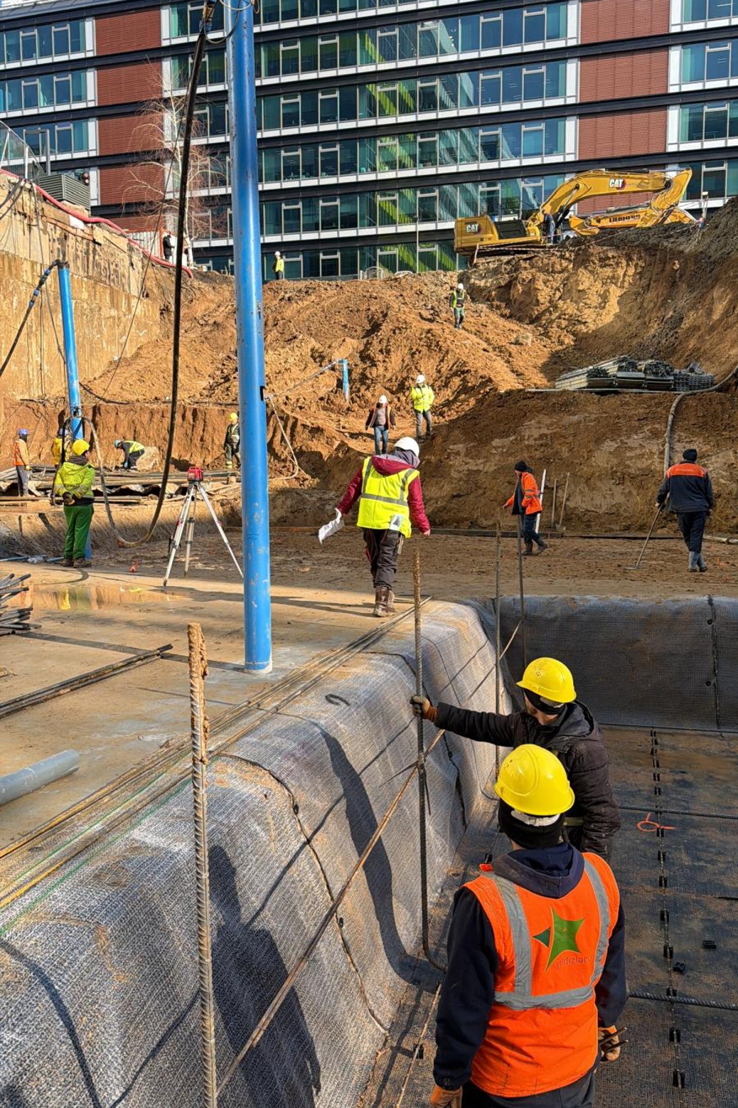
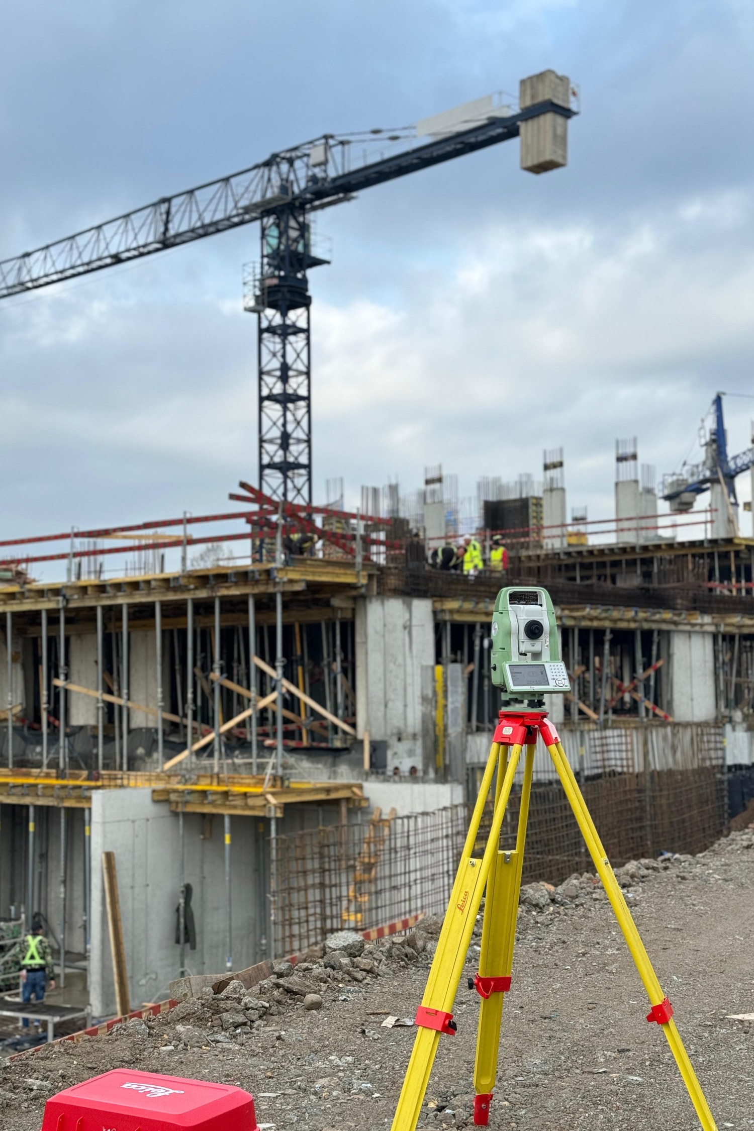
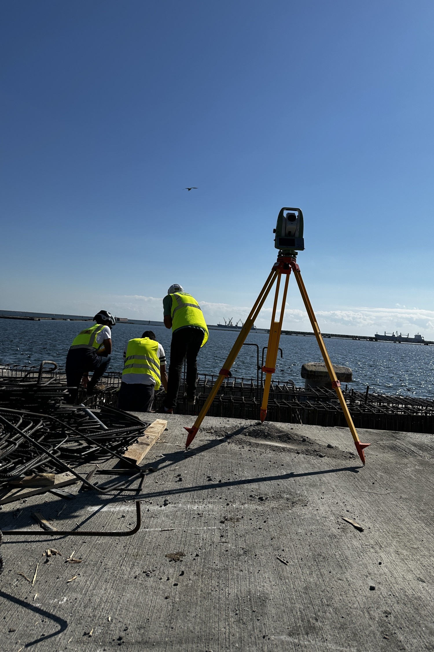
Correct dimensioning is more than just measuring heights. It’s about controlling stormwater runoff, avoiding subsidence, getting ramps or access slopes right. By levelling, we can also assess the flatness of a surface before pouring concrete, calculate the differences in volume when excavating and filling, or monitor the progress of a work in stages.
The data obtained is translated into tables, longitudinal and transverse profiles or digital models, all useful for architects, engineers and builders. Leveling thus becomes an essential tool for control and planning, not just a technical step


Accurate data for dimensions and volumes
Get control over the levels and volumes of digging, filling or pouring.
Essential tool for execution and verification
Make sure that each stage is being carried out according to the project’s dimensions.
Fast measurements, even in difficult terrain
We use modern equipment, adaptable to any terrain or weather condition.
Why Maptrix?
Because precision is not optional. It’s our standard.
We’re more than a service provider – we’re a trusted technical partner in your projects. With extensive experience in surveying and cadastral surveying, we bring the perfect combination of advanced technology, applied knowledge, and respect for deadlines and details to every job.
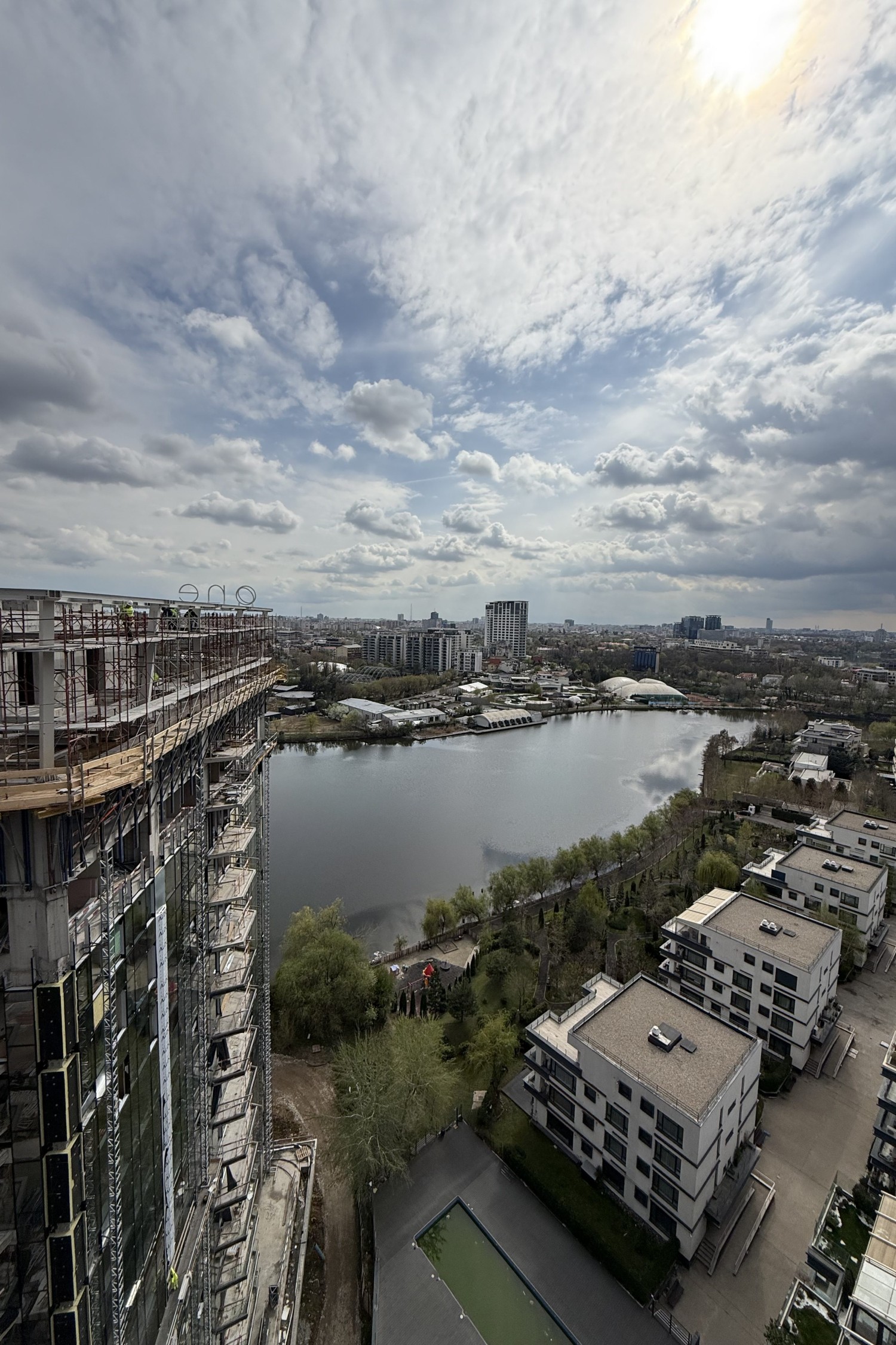
We use modern equipment (GNSS, total stations, drones), work with fast digital workflows and comply with all current legal and technical requirements. But most importantly, we understand the realities on the ground and provide tailored solutions – whether you’re working in a busy city, a rural area or a complex infrastructure construction site.
Clients choose us for reliability, clear communication, flexibility and results they can rely on.
They trust us